Drone maps & 3D models in Thailand
1 sub-areas · 9 public projects on this page
About drone maps in Thailand
Explore public orthophotos (high‑resolution maps) and 3D point clouds created by pilots in Thailand. Use the filters to switch between Maps and 3D, and the search to find specific sites.
FAQ for Thailand
What kinds of drone data are available?
Public orthophotos (maps) and 3D point clouds captured by local pilots.
How can I make models and maps like this?
Get started for free by making an account and uploading drone imagery.
Public projects
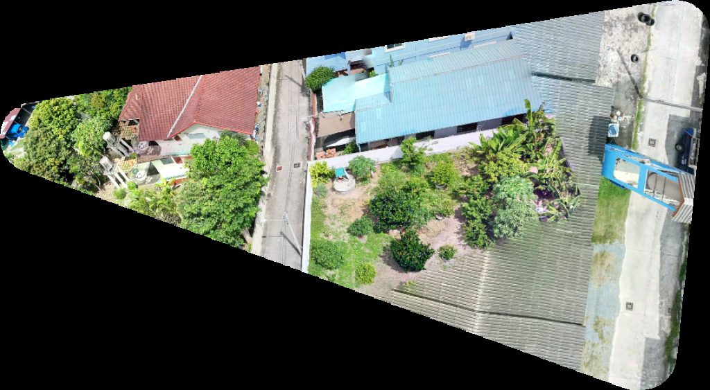
 Orthophoto / Map
Ferries to from Ko Pu Jum ร้านร็อยมี ฮาลาลฟู้ด
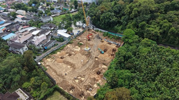
 Point Cloud / 3D
Maharatna Wihan Khot Kor 17 18
 Point Cloud / 3D
กองพัฒนานักศึกษา อาคาร 20 มหาวิทยาลัยราชภัฏสกลนคร
 Orthophoto / Map
สมาคมศิษย์เก่ามหาวิทยาลัยราชภัฏสกลนคร อาคาร 20 มหาวิทยาลัยราชภัฏสกลนคร
 Point Cloud / 3D
Wat Tham Pha Plong Doi Biosphere Reserve Office
 Orthophoto / Map
Wat Laem Chak แพชิดเลย์ ปากรอ
 Orthophoto / Map
บ้านสวัสดี เนินพลับหวาน ครัวเจ๊แหม่ม อาหารตามสั่ง และ น้ำปั่นเพื่อสุขภาพ
 Point Cloud / 3D
บริษัท อันดามัน เพสท์ คอนโทรล จำกัด Supalai Sense Khao Rang Phuket
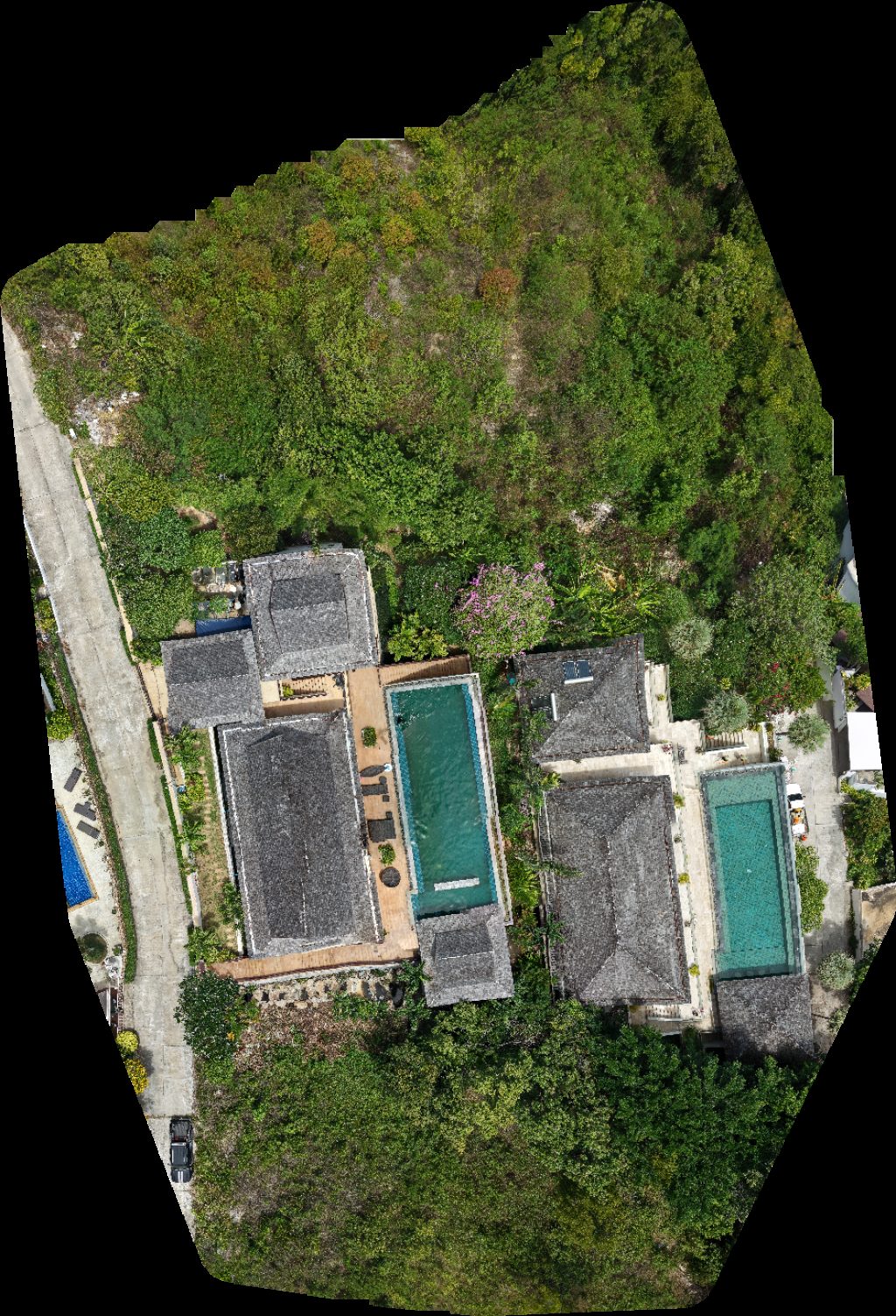 Orthophoto / Map
Baan Grand Vista Villa Firefly
No projects match your filters. Try clearing filters or searching a different term.