Drone maps & 3D models in Russia
3 sub-areas · 6 public projects on this page
About drone maps in Russia
Explore public orthophotos (high‑resolution maps) and 3D point clouds created by pilots in Russia. Use the filters to switch between Maps and 3D, and the search to find specific sites.
FAQ for Russia
What kinds of drone data are available?
Public orthophotos (maps) and 3D point clouds captured by local pilots.
How can I make models and maps like this?
Get started for free by making an account and uploading drone imagery.
Public projects
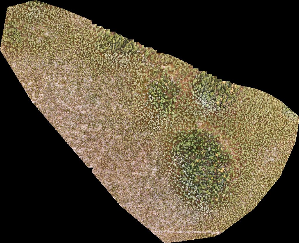
 Orthophoto / Map
Tserkov V Menderskom Ozon
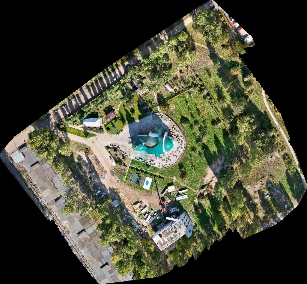
 Orthophoto / Map
Djuma Mechet
 Orthophoto / Map
Sberbank Bankomat Детский сад Морошка
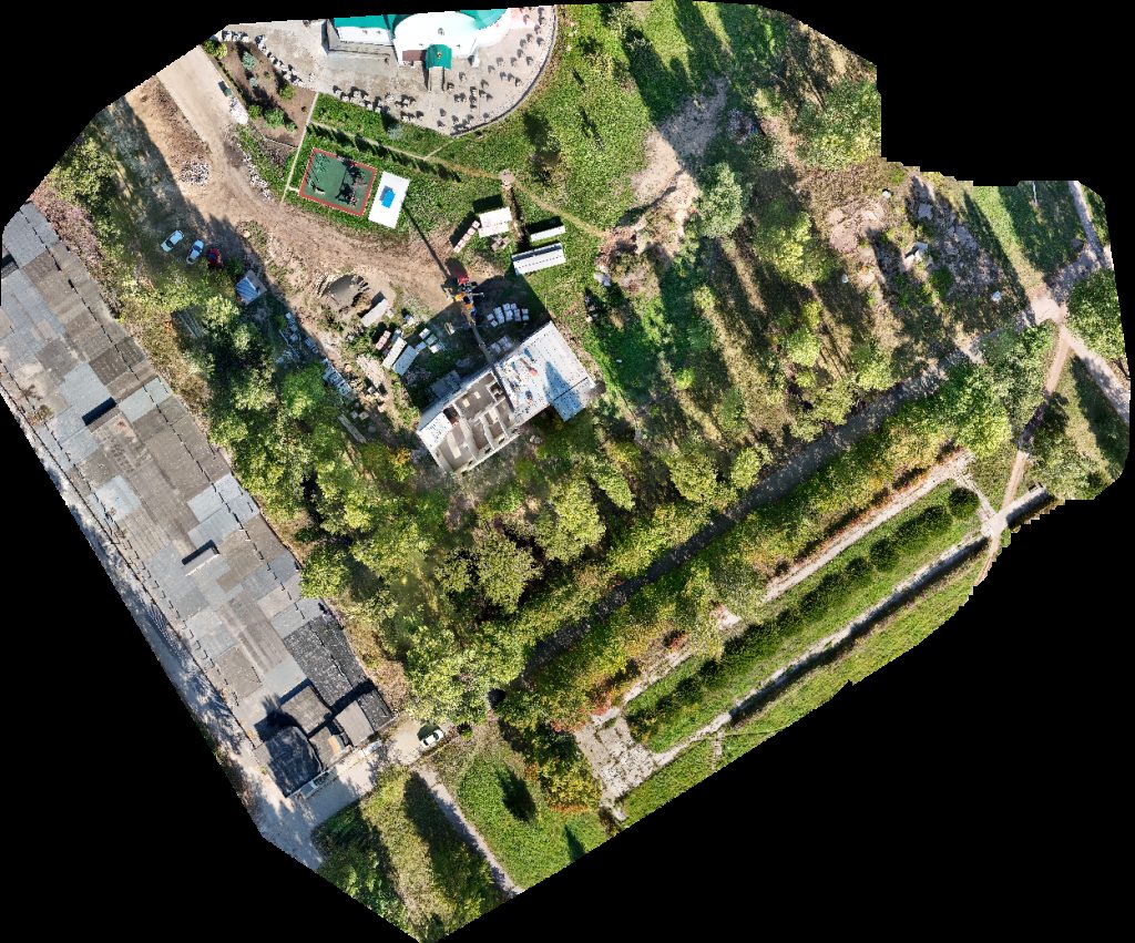
 Orthophoto / Map
Meditsinskiye Analizy Detskiy Statsionar
 Orthophoto / Map
Meditsinskiye Analizy Detskiy Statsionar
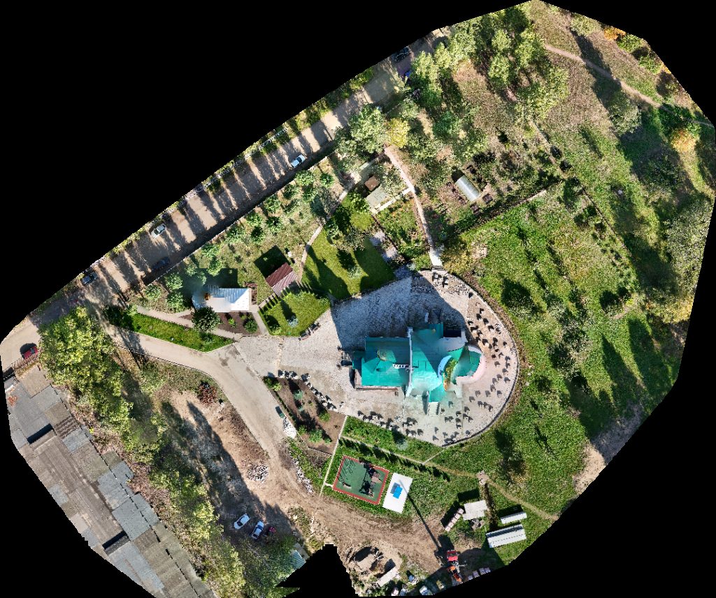 Orthophoto / Map
Detskiy Statsionar Khram Vo Imya Svyatogo Apostola Andreya Pervozvannogo
No projects match your filters. Try clearing filters or searching a different term.