Drone maps & 3D models in Portugal
15 sub-areas · 24 public projects on this page · page 1 of 2
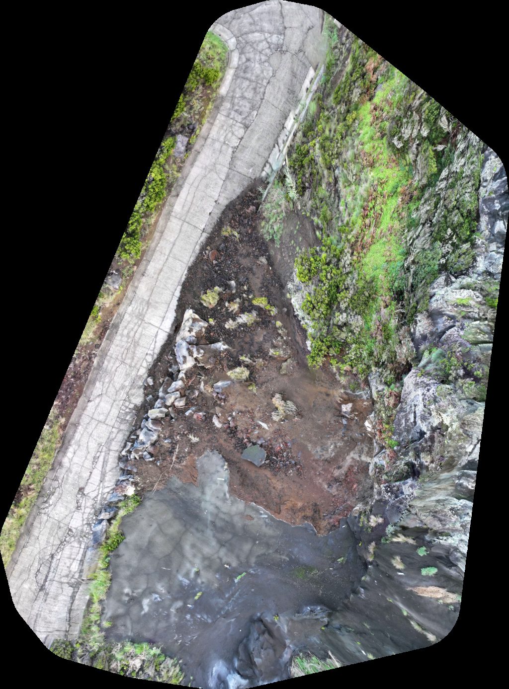
About drone maps in Portugal
Explore public orthophotos (high‑resolution maps) and 3D point clouds created by pilots in Portugal. Use the filters to switch between Maps and 3D, and the search to find specific sites.
FAQ for Portugal
What kinds of drone data are available?
Public orthophotos (maps) and 3D point clouds captured by local pilots.
How can I make models and maps like this?
Get started for free by making an account and uploading drone imagery.
Public projects
 Orthophoto / Map
Herdade Grande Vinho Wine Alentejo Ermida de Santo António dos Açores
 Point Cloud / 3D
Halterego Bar Portinho
 Point Cloud / 3D
Largo do Colégio Tourismusinformation
 Point Cloud / 3D
Parking Parque Estacionamento Ferraria
 Point Cloud / 3D
Alunik Norte Alumínios Lda Auto Jorge Celestino
 Orthophoto / Map
FJC de Emprego FEP Faculdade Economia da Universidade do
 Orthophoto / Map
Manuel Laranjeira Bairro Do Outeiro
 Point Cloud / 3D
Congregação Cristã Em Portugal Casa 24 Unipessoal Lda
 Point Cloud / 3D
Emídio Navarro Futuras instalações da CM
 Orthophoto / Map
4 Tavares Azeite Polidesportivo do Malhadal
 Orthophoto / Map
Grilo Ribas Covas
 Orthophoto / Map
Frutas S R Santos Roque Lda Mini Mercado Ana Cristina
 Orthophoto / Map
Azenhas Gardunha Azenha Figueira
 Orthophoto / Map
Azenhas Gardunha Azenha Figueira
 Orthophoto / Map
Azenhas Gardunha Azenha Figueira
 Orthophoto / Map
Azenhas Gardunha Azenha Figueira
 Orthophoto / Map
Azenhas Gardunha Azenha Figueira
 Point Cloud / 3D
Vrbo Property Instituto Veterinário VETSUL
 Orthophoto / Map
EDP Comercial Charging Station Vrbo Property
 Orthophoto / Map
Vrbo Property Instituto Veterinário VETSUL
 Point Cloud / 3D
Ângelo Coimbra Sul
 Point Cloud / 3D
La Margherita Almaty
 Orthophoto / Map
La Margherita Almaty
 Point Cloud / 3D
Igreja das Moitas Coop
No projects match your filters. Try clearing filters or searching a different term.