Drone maps & 3D models in Puerto Rico
6 sub-areas · 18 public projects on this page
About drone maps in Puerto Rico
Explore public orthophotos (high‑resolution maps) and 3D point clouds created by pilots in Puerto Rico. Use the filters to switch between Maps and 3D, and the search to find specific sites.
FAQ for Puerto Rico
What kinds of drone data are available?
Public orthophotos (maps) and 3D point clouds captured by local pilots.
How can I make models and maps like this?
Get started for free by making an account and uploading drone imagery.
Public projects
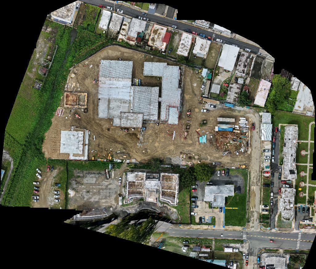
 Orthophoto / Map
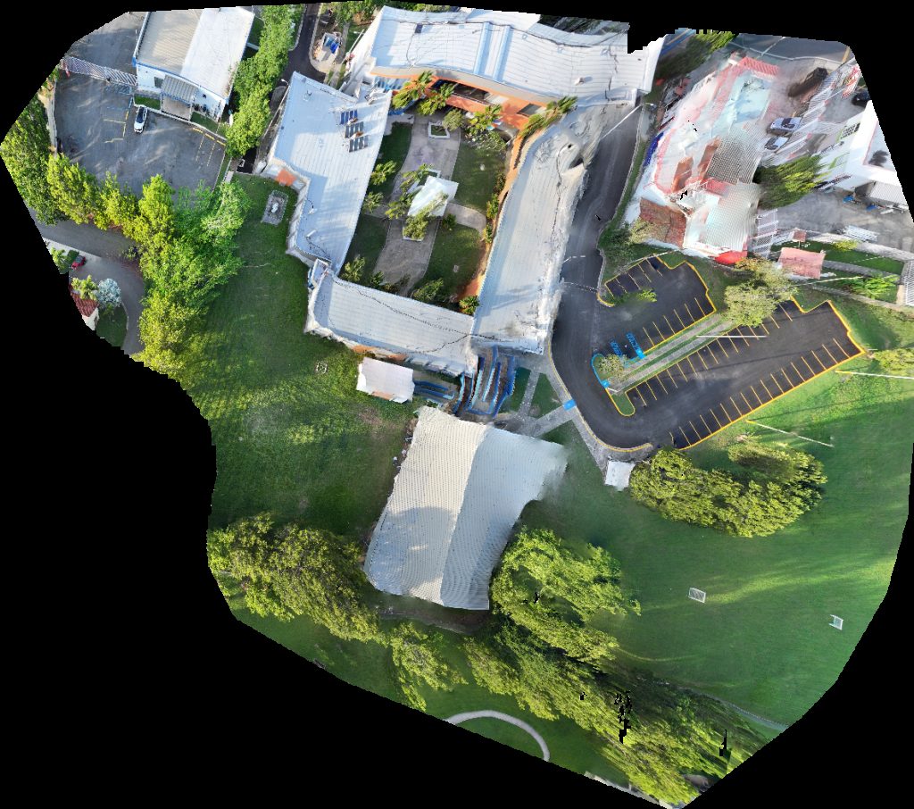
Oficina de Procuraduría Estudiantil Edificio del Decanato Estudiantes RCM Multipiso Ciencias Médicas
 Orthophoto / Map
Oficina de Procuraduría Estudiantil Edificio del Decanato Estudiantes RCM Multipiso Ciencias Médicas
 Orthophoto / Map
Oficina de Procuraduría Estudiantil Edificio del Decanato Estudiantes RCM Multipiso Ciencias Médicas
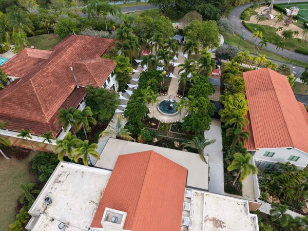
 Orthophoto / Map
Coliseo Héctor Solá Bezares Pabellón de Gimnasia Diego Lizardi Marcial
 Point Cloud / 3D
D LAW LLC Cond Diana
 Point Cloud / 3D
Estadio Evaristo Varo Roldán Bullpen Bar Restaurant
 Orthophoto / Map
Estadio Evaristo Varo Roldán Bullpen Bar Restaurant
 Orthophoto / Map
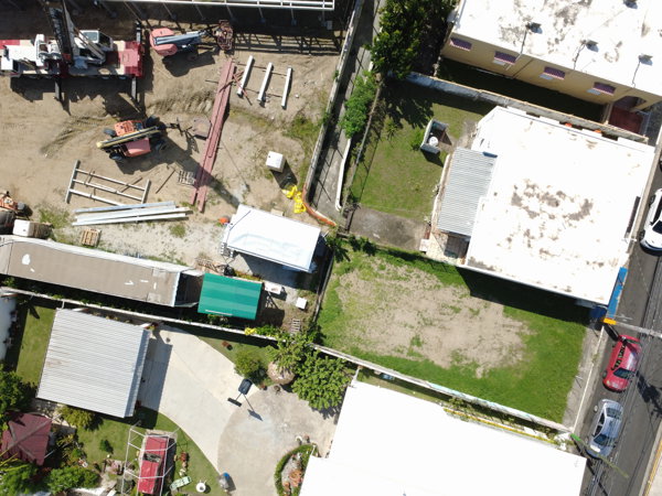
Funeraria Steidel Inc Dr Leopoldo Santiago
 Orthophoto / Map
Funeraria Steidel Inc Dr Leopoldo Santiago
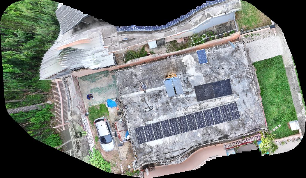
 Orthophoto / Map
Funeraria Steidel Inc Dr Leopoldo Santiago
 Point Cloud / 3D
Funeraria Steidel Inc Dr Leopoldo Santiago
 Orthophoto / Map
Funeraria Steidel Inc Dr Leopoldo Santiago
 Orthophoto / Map
Policía de Puerto Rico Distrito Parking
 Point Cloud / 3D
La Pérgola restaurant Sabanera Saludable
 Orthophoto / Map
El Cuartito Universal Properties Real Estate
 Orthophoto / Map
Escuela Superior Monserrate León de Irizarry Boqueron High School
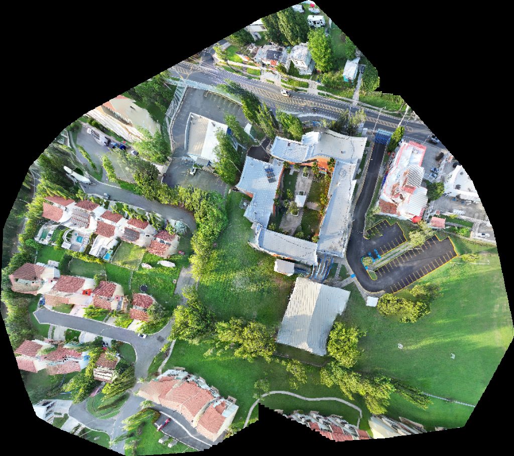
 Orthophoto / Map
Escuela Superior Monserrate León de Irizarry United States Postal Service
 Point Cloud / 3D
Policía de Puerto Rico Distrito Funeraria Steidel Inc
No projects match your filters. Try clearing filters or searching a different term.