Site context
About this map
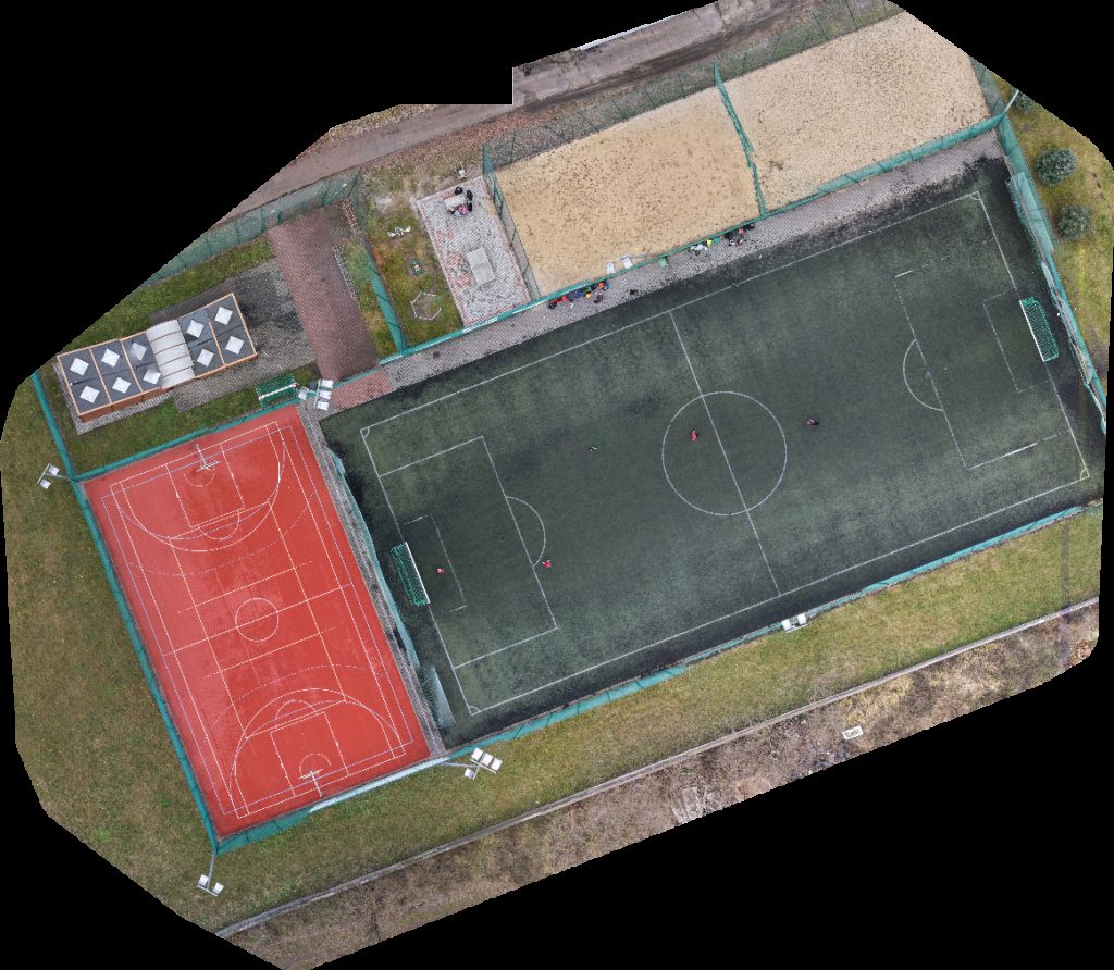
This page displays an interactive drone map of Obelisk Pamięci Getta Żydowskiego We Włocławku Iltron Telewizja Przemysłowa Alarmy in Włocławek, Wojewodztwo Kujawsko Pomorskie, Poland. The viewer above is the primary experience: pan, zoom, switch visualization modes, and inspect the capture without installing extra software.
It can help review site layout, roof lines, pavement, vegetation, surface materials, drainage patterns, and other visible conditions. The available project data includes orthomosaic map tiles, the source orthophoto when available, and supporting point-cloud data, depending on the outputs generated for this scan.
- Processed
- December 14, 2025
- Location
- Włocławek, Wojewodztwo Kujawsko Pomorskie, Poland
- Center coordinates
- 52.64367° N, 19.06680° E
- Capture type
- Orthomosaic map