Drone maps & 3D models in Davao Region, Philippines
3 sub-areas · 8 public projects on this page
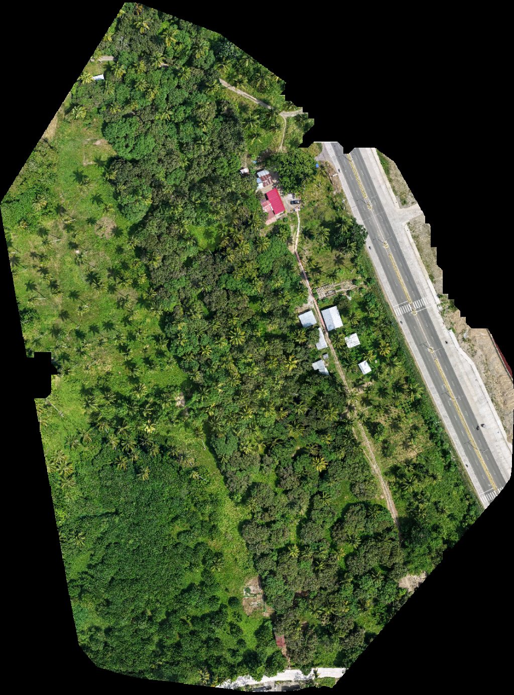
About drone maps in Davao Region, Philippines
Explore public orthophotos (high‑resolution maps) and 3D point clouds created by pilots in Davao Region, Philippines. Use the filters to switch between Maps and 3D, and the search to find specific sites.
FAQ for Davao Region, Philippines
What kinds of drone data are available?
Public orthophotos (maps) and 3D point clouds captured by local pilots.
How can I make models and maps like this?
Get started for free by making an account and uploading drone imagery.
Public projects
 Orthophoto / Map
Ma sob Agri Learning Institute Inc tugop san isidro
 Orthophoto / Map
Pinakan Upper Lahi Elementary School
 Point Cloud / 3D
Apex Mining Co Inc Galo Store
 Point Cloud / 3D
Rahman Engineering Surveying Consultancy Apao
 Point Cloud / 3D
Rahman Engineering Surveying Consultancy Apao
 Point Cloud / 3D
Jamaica Madino Devera Lawaan Kingking Davao de Oro Philippines
 Orthophoto / Map
tugop san isidro Ma sob Agricultural Learning Center
 Point Cloud / 3D
CALAMBA STORE Kennemer Cacao Center Calinan KCC
No projects match your filters. Try clearing filters or searching a different term.