Drone maps & 3D models in Panama
8 sub-areas · 18 public projects on this page
About drone maps in Panama
Explore public orthophotos (high‑resolution maps) and 3D point clouds created by pilots in Panama. Use the filters to switch between Maps and 3D, and the search to find specific sites.
FAQ for Panama
What kinds of drone data are available?
Public orthophotos (maps) and 3D point clouds captured by local pilots.
How can I make models and maps like this?
Get started for free by making an account and uploading drone imagery.
Public projects
 Point Cloud / 3D
Bar Thanys Anabellys Servicios Técnicos Mecánicos Fernández
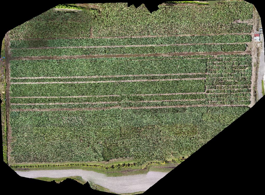
 Orthophoto / Map
Refugio de Vida Silvestre Peñón La Honda Ameen Taylor
 Orthophoto / Map
Refugio de Vida Silvestre Peñón La Honda Ameen Taylor
 Orthophoto / Map
Refugio de Vida Silvestre Peñón La Honda Ameen Taylor
 Orthophoto / Map
NARANJAL REYES Abarroteria jehu
 Orthophoto / Map
Planta Solar Panasolar Generation
 Orthophoto / Map
Capilla Nuestra Señora de Fátima Escuela Las Barreras
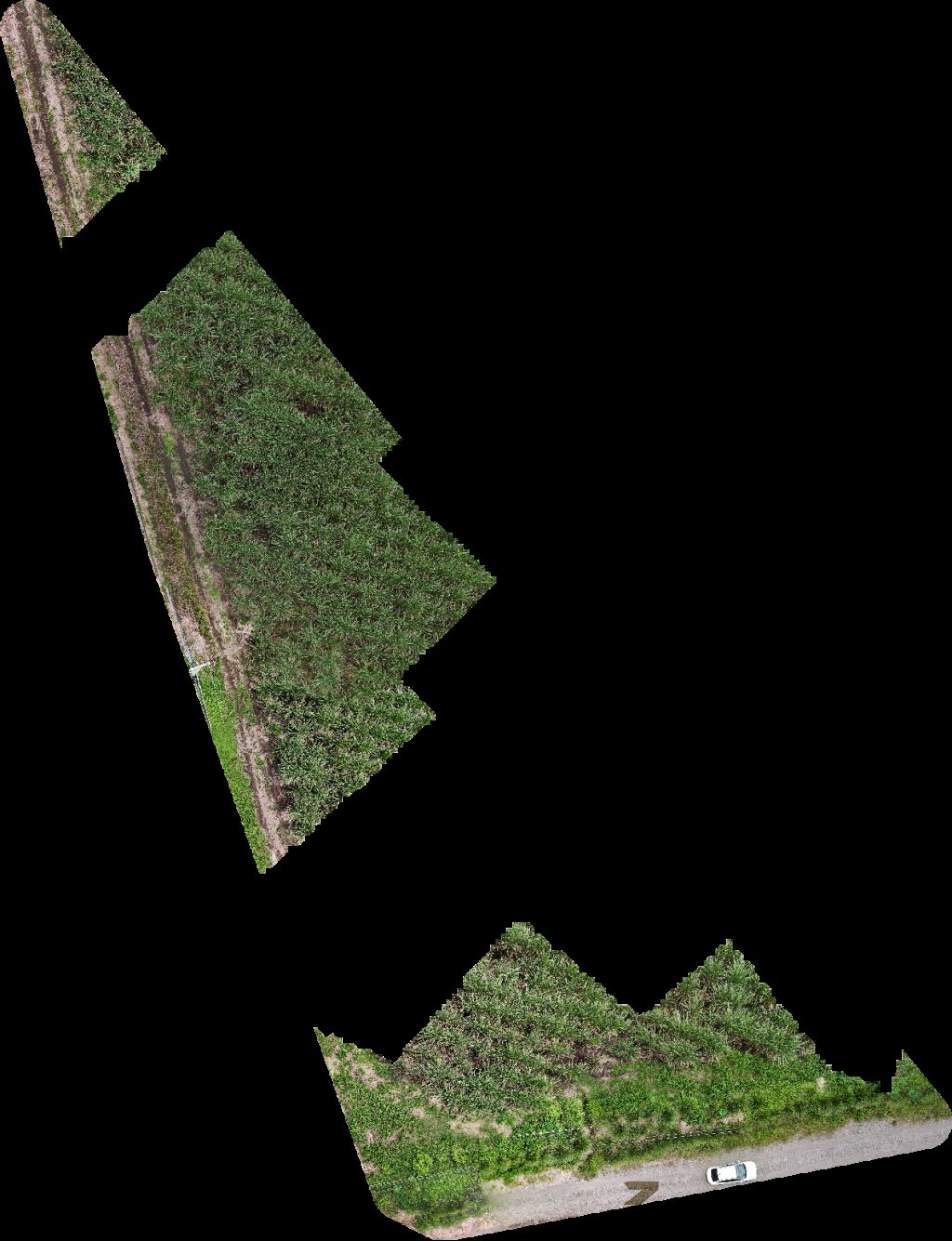
 Point Cloud / 3D
PH Breezes Park Aptos Nelly lava auto el shaddai
 Point Cloud / 3D
Cuadrángulo Central UNICEF
 Orthophoto / Map
Cuadrángulo Central UNICEF
 Orthophoto / Map
Cuadrángulo Central UNICEF
 Orthophoto / Map
Cuadrángulo Central Innova 101
 Orthophoto / Map
Cuadrángulo Central UNICEF
 Orthophoto / Map
Servicentro S A Parador fotográfico
 Point Cloud / 3D
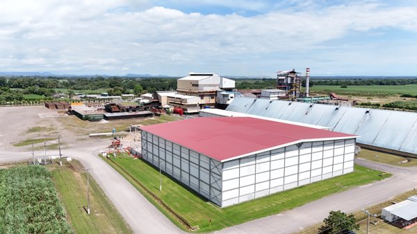
Servicentro S A Central Azucarero de Alanje CADASA
 Point Cloud / 3D
El Chris Ese Court Reparaciones Belking
 Orthophoto / Map
Abarroteria Alice ESTADIO DE BÉISBOL LA LOMA SAN PEDRO
 Orthophoto / Map
Abarroteria Alice Jetski motor
No projects match your filters. Try clearing filters or searching a different term.