Drone maps & 3D models in New Zealand
4 sub-areas · 10 public projects on this page
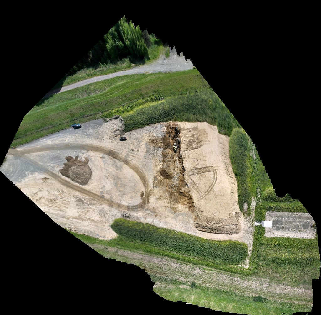
About drone maps in New Zealand
Explore public orthophotos (high‑resolution maps) and 3D point clouds created by pilots in New Zealand. Use the filters to switch between Maps and 3D, and the search to find specific sites.
FAQ for New Zealand
What kinds of drone data are available?
Public orthophotos (maps) and 3D point clouds captured by local pilots.
How can I make models and maps like this?
Get started for free by making an account and uploading drone imagery.
Public projects
 Orthophoto / Map
Pukaki Lakeside Getaway NZ
 Point Cloud / 3D
Business TroubleShooters Help Solutions
 Orthophoto / Map
Vernon Drive Wildlife Ponds Patiki Reserve
 Orthophoto / Map
Pukaki Lakeside Getaway NZ
 Point Cloud / 3D
Hawke s Bay BMX Club Hawkes Pump Track By Velosolutions
 Point Cloud / 3D
Orlando Flowers Of Franklin
 Point Cloud / 3D
Te Kōpuke Tītīkōpuke Mount St John Saint entrance
 Orthophoto / Map
Designshed Limited Nanna s Little Pretties
 Point Cloud / 3D
Designshed Limited Nanna s Little Pretties
 Orthophoto / Map
Nevaria Lavender farm Opposite Marae Road
No projects match your filters. Try clearing filters or searching a different term.