Drone maps & 3D models in Vestland, Norway
4 sub-areas · 6 public projects on this page
About drone maps in Vestland, Norway
Explore public orthophotos (high‑resolution maps) and 3D point clouds created by pilots in Vestland, Norway. Use the filters to switch between Maps and 3D, and the search to find specific sites.
FAQ for Vestland, Norway
What kinds of drone data are available?
Public orthophotos (maps) and 3D point clouds captured by local pilots.
How can I make models and maps like this?
Get started for free by making an account and uploading drone imagery.
Public projects
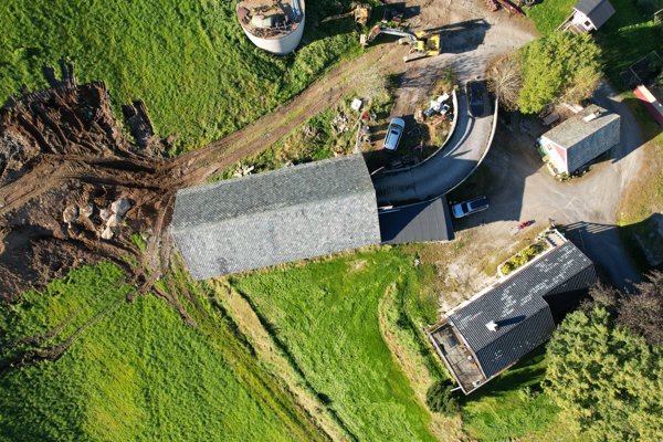
 Orthophoto / Map
sentrum electro AS
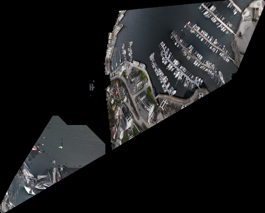
 Point Cloud / 3D
Hardanger Fjord AS cruise Pomnik Mina morska
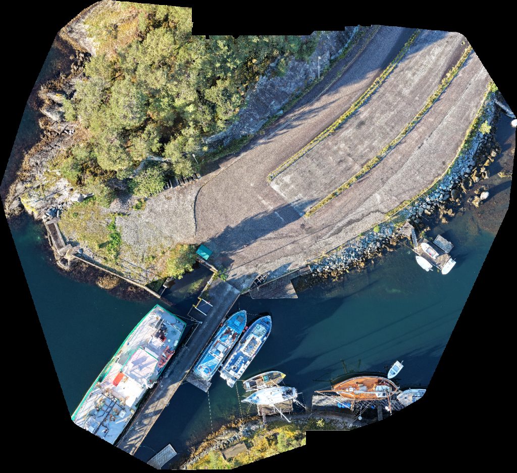
 Point Cloud / 3D
Førde Rør AS Korshåjen gard og systaue
 Point Cloud / 3D
Sauna Framcom
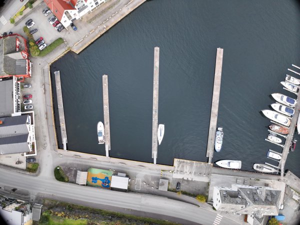
 Orthophoto / Map
Sauna Knapphus Marina Leirvik
 Orthophoto / Map
Arkitekt Terje Lamo Norstec As
No projects match your filters. Try clearing filters or searching a different term.