Drone maps & 3D models in Nigeria
6 sub-areas · 12 public projects on this page
About drone maps in Nigeria
Explore public orthophotos (high‑resolution maps) and 3D point clouds created by pilots in Nigeria. Use the filters to switch between Maps and 3D, and the search to find specific sites.
FAQ for Nigeria
What kinds of drone data are available?
Public orthophotos (maps) and 3D point clouds captured by local pilots.
How can I make models and maps like this?
Get started for free by making an account and uploading drone imagery.
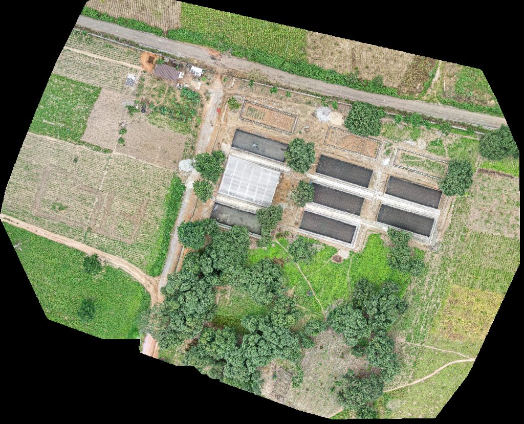
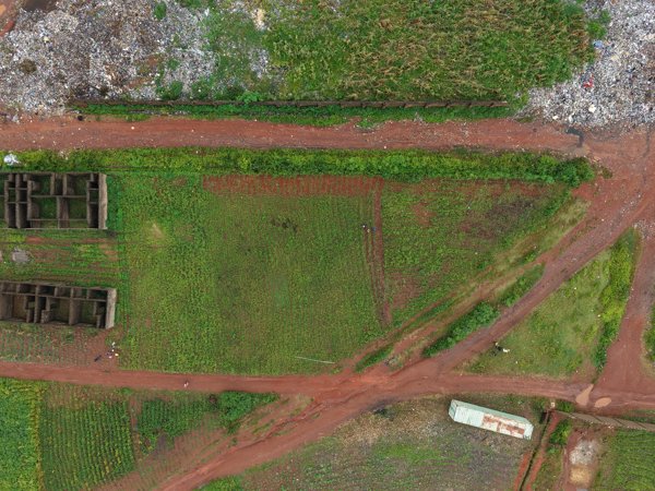
Public projects
 Point Cloud / 3D
EYN Dispensary National Headquater Kwarhi
 Point Cloud / 3D
Futo back gate NATTYBEST ELECTRICAL SOLAR WIZARDS COMPANY
 Orthophoto / Map
Organic skin care products Aneolab Digital Agency Nigeria
 Point Cloud / 3D
Organic skin care products Aneolab Digital Agency Nigeria
 Orthophoto / Map
Wood Bar CCC Sogunro Parish 1
 Orthophoto / Map
Makoko Community Independent Baptist Church
 Orthophoto / Map
Akinbo Makoko Todo Oko Agbon
 Orthophoto / Map
Akinbo Makoko Todo Oko Agbon
 Point Cloud / 3D
Mini stadium stand Smart Tech ICT solutions
 Point Cloud / 3D
Caffeinna Creatives Idinas Technical Services
 Orthophoto / Map
Total Child Academy Special Reports
 Point Cloud / 3D
CKI Oils Ltd Oma ashira ventures
No projects match your filters. Try clearing filters or searching a different term.