Drone maps & 3D models in Kota Kinabalu, Sabah, MY
6 sub-areas · 7 public projects on this page
About drone maps in Kota Kinabalu, Sabah, MY
Explore public orthophotos (high‑resolution maps) and 3D point clouds created by pilots in Kota Kinabalu, Sabah, MY. Use the filters to switch between Maps and 3D, and the search to find specific sites.
FAQ for Kota Kinabalu, Sabah, MY
What kinds of drone data are available?
Public orthophotos (maps) and 3D point clouds captured by local pilots.
How can I make models and maps like this?
Get started for free by making an account and uploading drone imagery.
Browse areas
- Taman Kolombong (2)
- Bandar Putra (1)
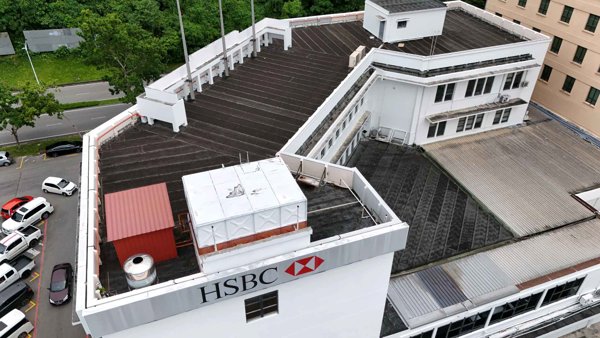
- Hsbc (1)
- Industrial Park (1)
- Industrial Zone 1 (1)
- Kkip Commercial Zone 1 (1)
Public projects
 Point Cloud / 3D
Taman Rimba Hse
 Point Cloud / 3D
Malaysian Rubber Board Pengedar Shaklee Telipuk
 Point Cloud / 3D
Evergreen 1979 Trading Sdn Bhd Fresh Linen Services
 Point Cloud / 3D
Johor Bahru Flour Mill Sdn Bhd Sabah Skills Technology Centre
 Point Cloud / 3D
FFM Sabah Sdn Bhd Lamitech International Head Office
 Point Cloud / 3D
FFM Sabah Sdn Bhd Lamitech International Head Office
 Point Cloud / 3D
Across Borneo BEST Society
No projects match your filters. Try clearing filters or searching a different term.