Drone maps & 3D models in Mexico
15 sub-areas · 14 public projects on this page · page 2 of 2
About drone maps in Mexico
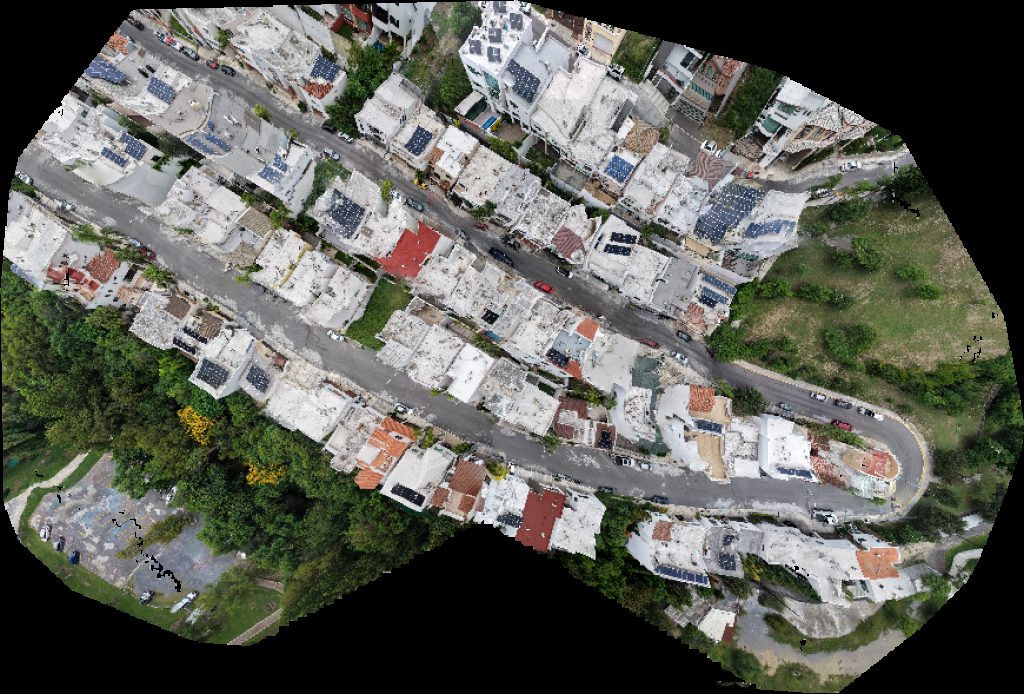
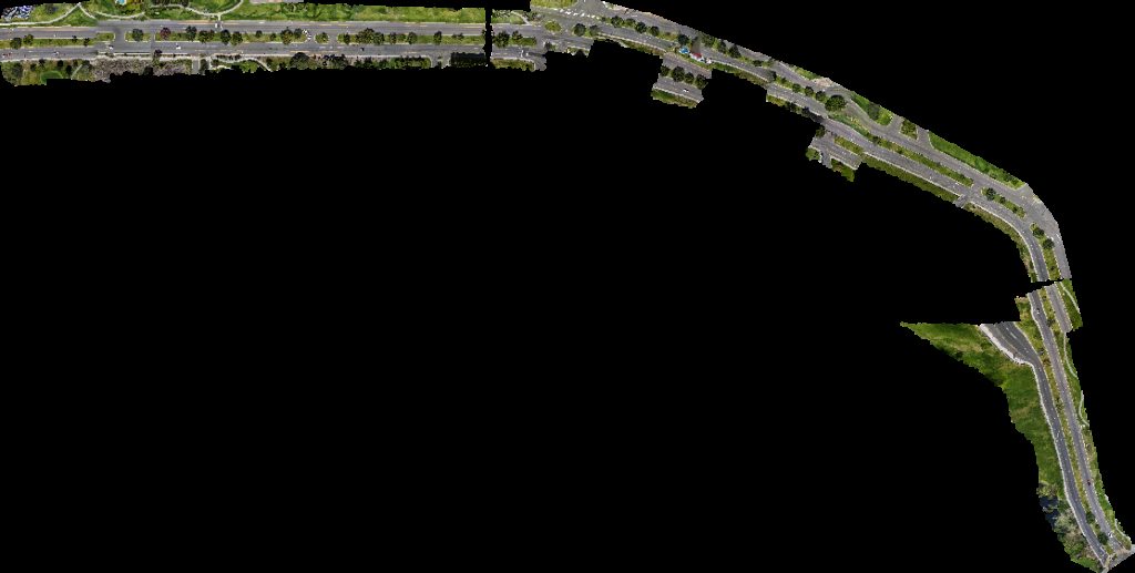
Explore public orthophotos (high‑resolution maps) and 3D point clouds created by pilots in Mexico. Use the filters to switch between Maps and 3D, and the search to find specific sites.
FAQ for Mexico
What kinds of drone data are available?
Public orthophotos (maps) and 3D point clouds captured by local pilots.
How can I make models and maps like this?
Get started for free by making an account and uploading drone imagery.
Public projects
 Point Cloud / 3D
OXXO MAIRSA
 Point Cloud / 3D
Trebotti S A De C V Fundicion Coronado
 Orthophoto / Map
Bee Boxing RING SIDE BOX
 Point Cloud / 3D
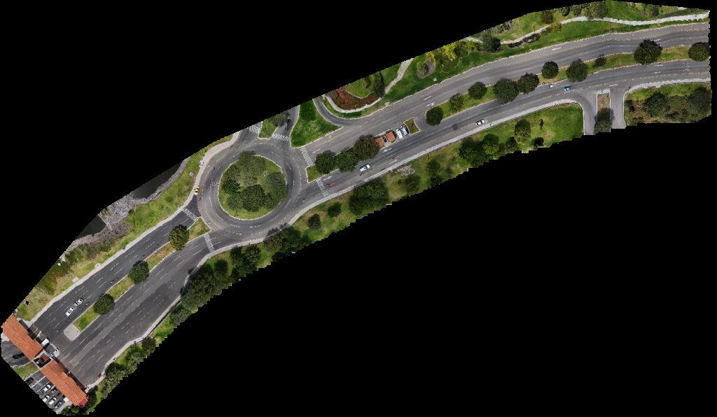
SANTA CRUZ Juan Guerra Park
 Point Cloud / 3D
SANTA CRUZ Juan Guerra Park
 Point Cloud / 3D
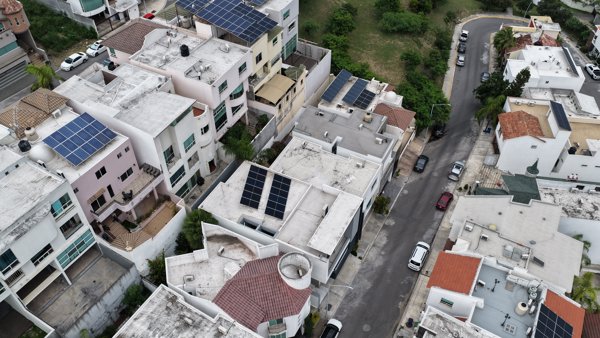
AVITA LIVING JOSE Garambullo 06
 Point Cloud / 3D
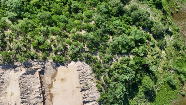
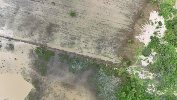
Prop privada Punta de la loma
 Orthophoto / Map
Prop privada Punta de la loma
 Orthophoto / Map
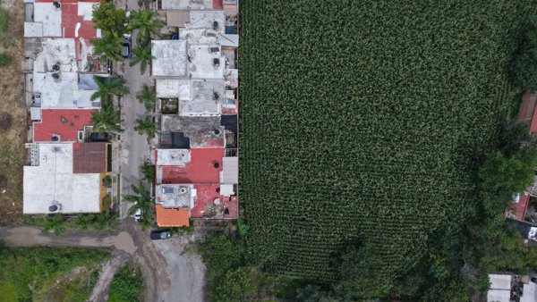
estudioescere Nohmad
 Orthophoto / Map
Papás Casa del tigre
 Point Cloud / 3D
AVITA LIVING JOSE Garambullo 06
 Point Cloud / 3D
Organización Taekyon de Mexico Sucursal InNae Asociación Civil Leticia Fausto Contreras Por El Bienestar Social Las Familias
 Point Cloud / 3D
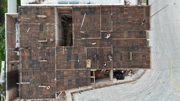
CASA ZENIT La Muralla
 Point Cloud / 3D
CASA ZENIT La Muralla
No projects match your filters. Try clearing filters or searching a different term.