Drone maps & 3D models in Monterrey, N L, Mexico
3 sub-areas · 5 public projects on this page
About drone maps in Monterrey, N L, Mexico
Explore public orthophotos (high‑resolution maps) and 3D point clouds created by pilots in Monterrey, N L, Mexico. Use the filters to switch between Maps and 3D, and the search to find specific sites.
FAQ for Monterrey, N L, Mexico
What kinds of drone data are available?
Public orthophotos (maps) and 3D point clouds captured by local pilots.
How can I make models and maps like this?
Get started for free by making an account and uploading drone imagery.
Public projects
 Point Cloud / 3D
Industrias Darrell Cantina La Nueva Esquina
 Point Cloud / 3D
OXXO MAIRSA
 Point Cloud / 3D
OXXO MAIRSA
 Point Cloud / 3D
Prop privada Punta de la loma
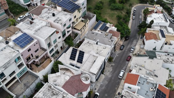
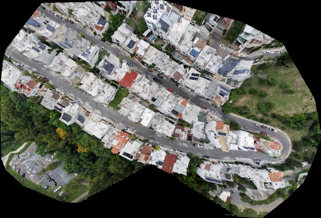 Orthophoto / Map
Prop privada Punta de la loma
No projects match your filters. Try clearing filters or searching a different term.