Drone maps & 3D models in Vilnius County, Lithuania
4 sub-areas · 6 public projects on this page
About drone maps in Vilnius County, Lithuania
Explore public orthophotos (high‑resolution maps) and 3D point clouds created by pilots in Vilnius County, Lithuania. Use the filters to switch between Maps and 3D, and the search to find specific sites.
FAQ for Vilnius County, Lithuania
What kinds of drone data are available?
Public orthophotos (maps) and 3D point clouds captured by local pilots.
How can I make models and maps like this?
Get started for free by making an account and uploading drone imagery.
Public projects
 Point Cloud / 3D
SB Karačiūnai
 Point Cloud / 3D
Belts lt
 Point Cloud / 3D
Kaukiškio kaimo senosios kapinės Musninkai Jewish Cemetery
 Point Cloud / 3D
Aukštoji Veržuva Specializuota šnaucerių kirpykla
 Point Cloud / 3D
Aukštoji Veržuva Specializuota šnaucerių kirpykla
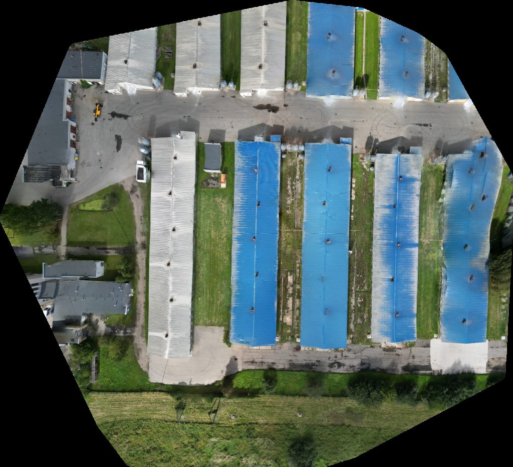 Orthophoto / Map
Alesninku paukstynas Zelvos ežero stovyklavietė Beržų sala
No projects match your filters. Try clearing filters or searching a different term.