Drone maps & 3D models in Kauno Apskritis, Lithuania
14 sub-areas · 19 public projects on this page
About drone maps in Kauno Apskritis, Lithuania
Explore public orthophotos (high‑resolution maps) and 3D point clouds created by pilots in Kauno Apskritis, Lithuania. Use the filters to switch between Maps and 3D, and the search to find specific sites.
FAQ for Kauno Apskritis, Lithuania
What kinds of drone data are available?
Public orthophotos (maps) and 3D point clouds captured by local pilots.
How can I make models and maps like this?
Get started for free by making an account and uploading drone imagery.
Public projects
 Point Cloud / 3D
A Sakalo imone Tigrines krevetes
 Point Cloud / 3D
Aero Training Academy Fhlife World
 Point Cloud / 3D
Gabi grožio studija Irida Kirpėja koloristė
 Point Cloud / 3D
Alkocentras AR Flowers and Moss
 Point Cloud / 3D
Lokių sklypai Pas Valerijų
 Point Cloud / 3D
Qonago KYMA vonios
 Point Cloud / 3D
ŠiRa Desertinė Taksi Kėdainiuose
 Point Cloud / 3D
Lokių sklypai Pas Valerijų
 Point Cloud / 3D
Scan technika Dziugrona
 Point Cloud / 3D
IVALTA Presto būriuotojų klubas
 Point Cloud / 3D
Pašilių kaimo senosios kapinės Prie Nevėžio
 Point Cloud / 3D
Buhalterija Kaune INNGA
 Point Cloud / 3D
Medelynas Spygliukas Adelės Dirsytės gimtinė
 Point Cloud / 3D
R Adomonio IVV
 Point Cloud / 3D
V Poderio imone
 Point Cloud / 3D
Agrobanga Ogauta Sunkvežimių padangos remontas keitimas
 Point Cloud / 3D
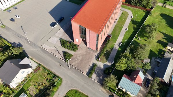
Šilainiai Holy Spirit church Automobilių stovėjimo aikštelė
 Point Cloud / 3D
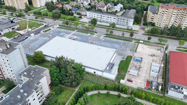
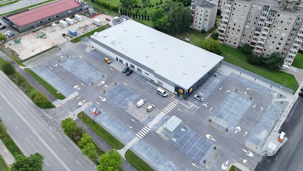
Lidl Charging Station Oranzinis baras D Veikelienes firma
 Point Cloud / 3D
Lidl Charging Station
No projects match your filters. Try clearing filters or searching a different term.