Drone maps & 3D models in Jeongseon Gun, Region, KR — Hambaek Volunteer Fire
4 public projects on this page
About drone maps in Jeongseon Gun, Region, KR — Hambaek Volunteer Fire
Explore public orthophotos (high‑resolution maps) and 3D point clouds created by pilots in Jeongseon Gun, Region, KR — Hambaek Volunteer Fire. Use the filters to switch between Maps and 3D, and the search to find specific sites.
FAQ for Jeongseon Gun, Region, KR — Hambaek Volunteer Fire
What kinds of drone data are available?
Public orthophotos (maps) and 3D point clouds captured by local pilots.
How can I make models and maps like this?
Get started for free by making an account and uploading drone imagery.
Public projects
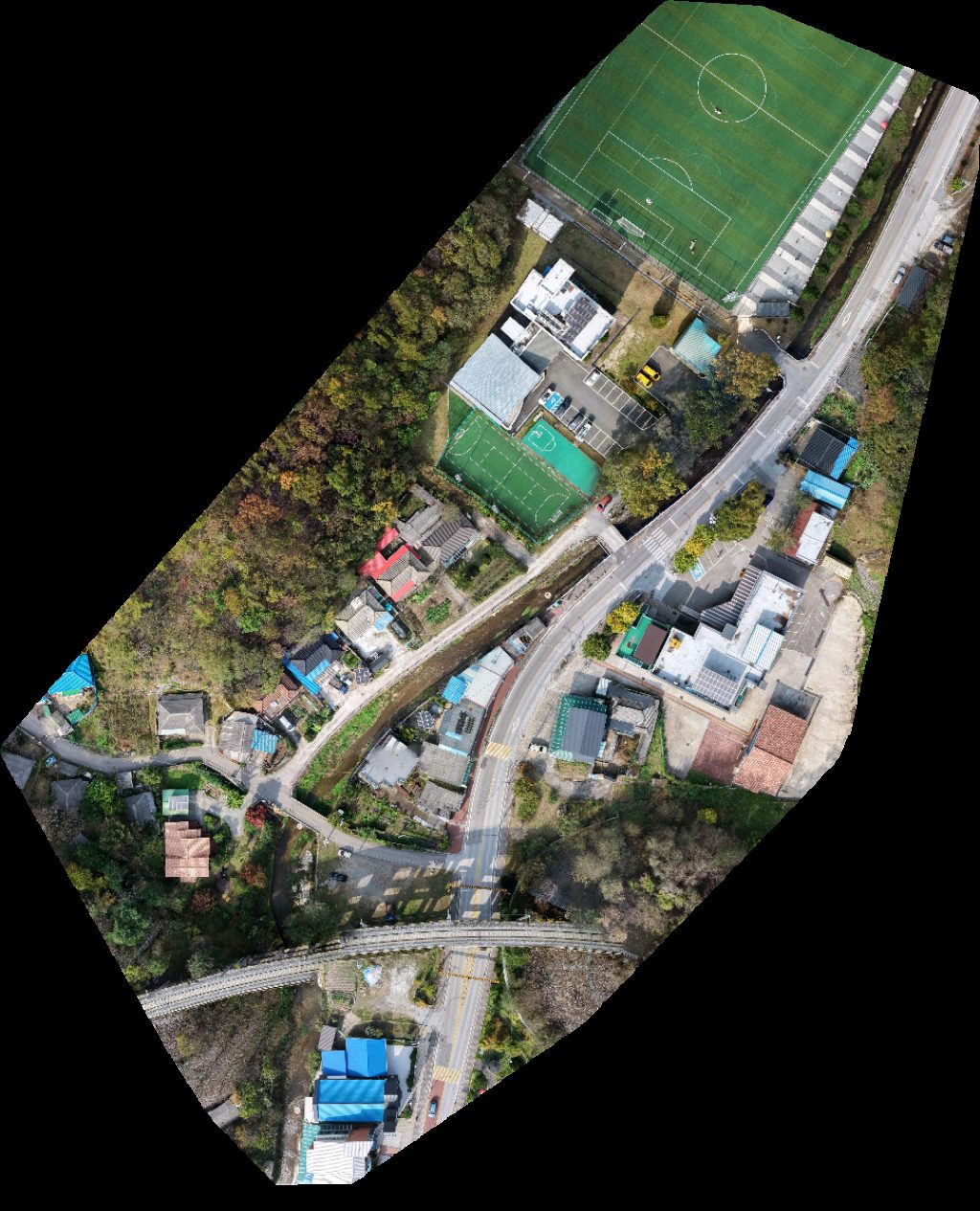
 Point Cloud / 3D
신동청소년아동장학복지센터 맛있는정원마을협동조합
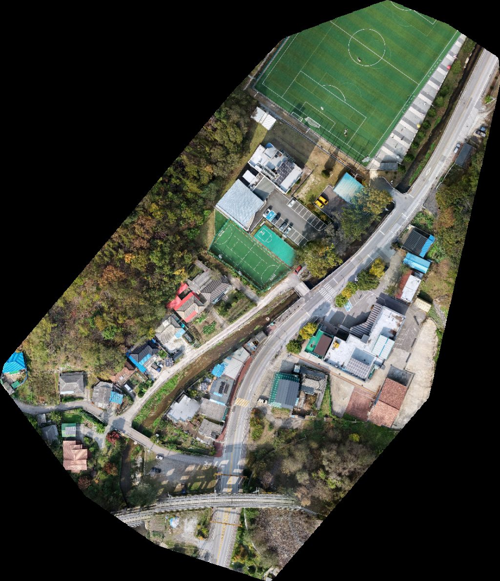
 Point Cloud / 3D
신동청소년아동장학복지센터 맛있는정원마을협동조합
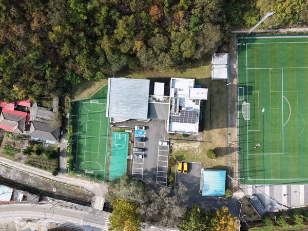
 Orthophoto / Map
신동청소년아동장학복지센터 맛있는정원마을협동조합
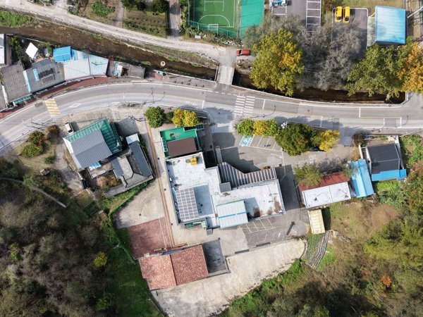
 Orthophoto / Map
신동청소년아동장학복지센터 맛있는정원마을협동조합
No projects match your filters. Try clearing filters or searching a different term.