Drone maps & 3D models in Cambodia
3 sub-areas · 5 public projects on this page
About drone maps in Cambodia
Explore public orthophotos (high‑resolution maps) and 3D point clouds created by pilots in Cambodia. Use the filters to switch between Maps and 3D, and the search to find specific sites.
FAQ for Cambodia
What kinds of drone data are available?
Public orthophotos (maps) and 3D point clouds captured by local pilots.
How can I make models and maps like this?
Get started for free by making an account and uploading drone imagery.
Public projects
 Orthophoto / Map
Peam Snea Resort Pier Kampot Ferry
 Orthophoto / Map
Peam Snea Resort Pier Kampot Ferry
 Orthophoto / Map
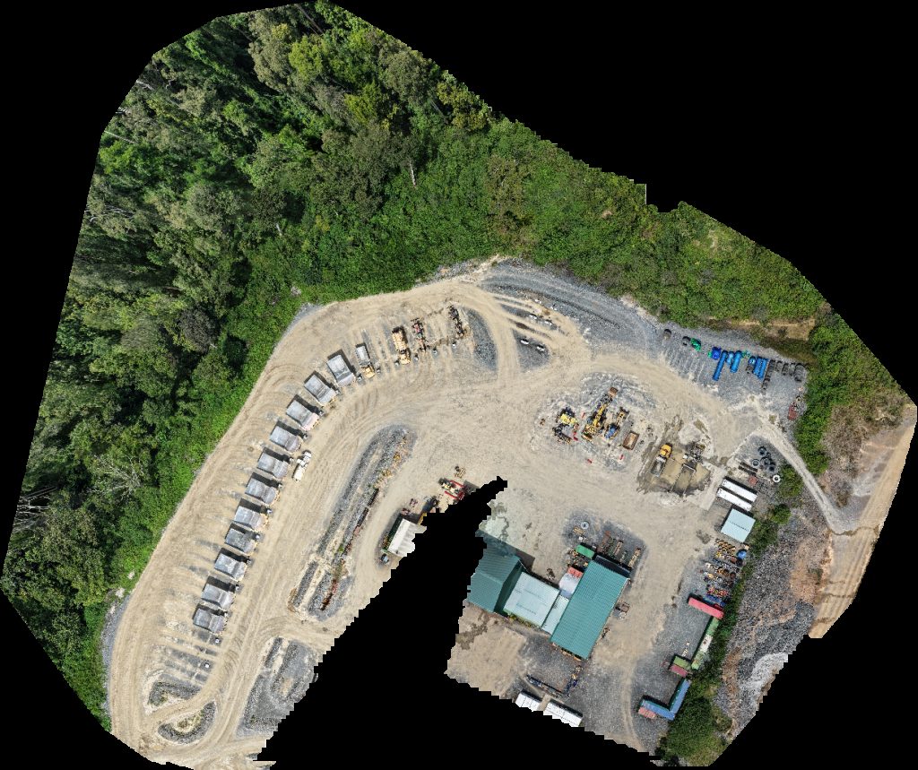
Renaissance Minerals Emerald Resources Okvau Gold Mine អនុស្ថ នីយអគ្គិសនី អូរខ្វ វ Grid Substation GS55
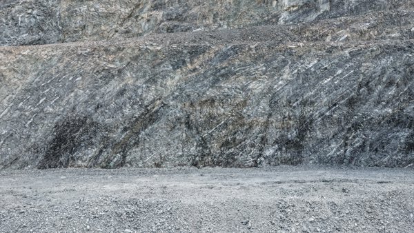 Point Cloud / 3D
OKV pit mine Gold
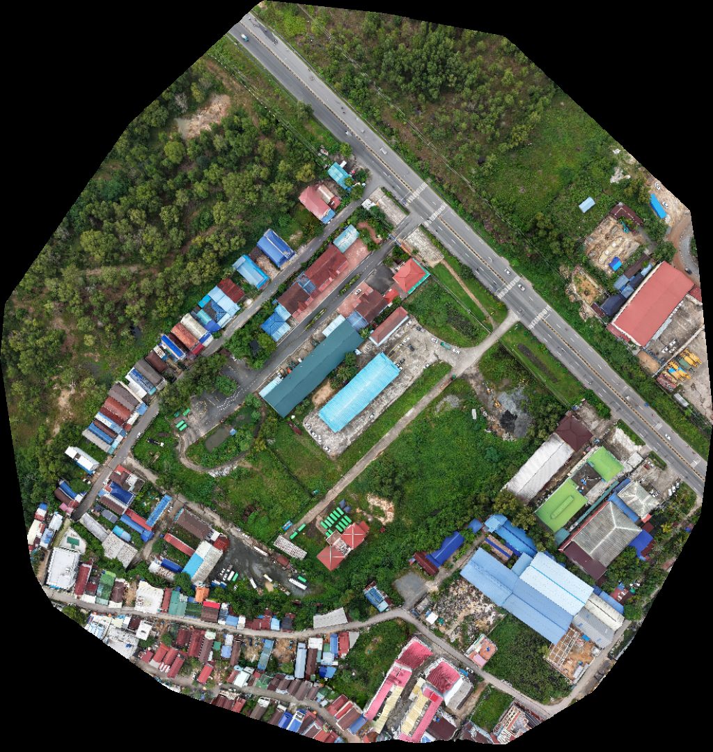 Orthophoto / Map
មន្ទីរស ធ រណក រ និងដឹកជញ្ជូន Department of Public Works and Transport Phuong Sina Garage
No projects match your filters. Try clearing filters or searching a different term.