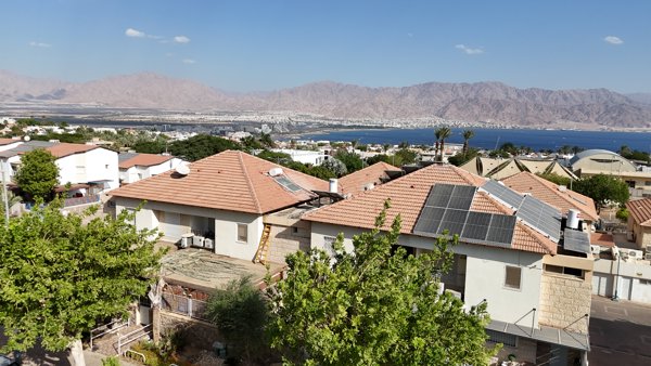
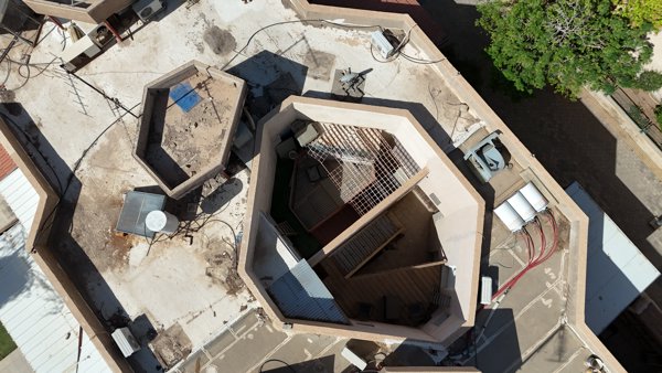
Drone maps & 3D models in South District, Israel
8 sub-areas · 23 public projects on this page
About drone maps in South District, Israel
Explore public orthophotos (high‑resolution maps) and 3D point clouds created by pilots in South District, Israel. Use the filters to switch between Maps and 3D, and the search to find specific sites.
FAQ for South District, Israel
What kinds of drone data are available?
Public orthophotos (maps) and 3D point clouds captured by local pilots.
How can I make models and maps like this?
Get started for free by making an account and uploading drone imagery.
Public projects
 Point Cloud / 3D
Blue Pearl הפנינה הכחולה One Bedroom Apartment charming cozy Studio House
 Point Cloud / 3D
Gilat Junction to South Jct Gas S
 Point Cloud / 3D
ספינפון וילה תלתן אילת
 Point Cloud / 3D
The Rosen s Studio Place Entire
 Point Cloud / 3D
The Rosen s Place Apartment Studio
 Point Cloud / 3D
Hiske s Holiday Apartment Kol Bo Hardware Store
 Point Cloud / 3D
Club Car הבית של אדם
 Point Cloud / 3D
אריאל אידסס מחשוב ותקשורת Dahari Jewelry
 Point Cloud / 3D
Studio Maya גיא אסולין תשמישי קדושה באילת
 Point Cloud / 3D
דנה ציפורניים IT s Art by Irit Tohar
 Point Cloud / 3D
דנה ציפורניים IT s Art by Irit Tohar
 Point Cloud / 3D
דנה ציפורניים IT s Art by Irit Tohar
 Point Cloud / 3D
שרון בלון bomb shelter
 Point Cloud / 3D
וילה ריצ י אילת Rabin Stadium Sheshet Hayamim
 Point Cloud / 3D
The Taras unit Rosenbaum Home
 Point Cloud / 3D
Web Development WEBPRO קרייזי פיצה
 Point Cloud / 3D
פנסיון דוג פלאנט בית הכנסת שערי ברכה
 Point Cloud / 3D
ד ר סבדלוב יגאל English School Ramot
 Point Cloud / 3D
جامع أسدود الكبير Salman the Persian Mosque
 Point Cloud / 3D
המכולת שלי יפה יעוץ נומרולוגי וקריאה בקלפי טארוט
 Point Cloud / 3D
עיצוב אירועים מעצבים באהבה א ש מ אילת בע
 Point Cloud / 3D
אזולאי מספרת גברים HaHashmonaim Mashul Ha amonim
 Point Cloud / 3D
Rosenbaum Home The Rosen s Studio Place
No projects match your filters. Try clearing filters or searching a different term.