Drone maps & 3D models in Hazon, North District, Israel
1 sub-areas · 10 public projects on this page
About drone maps in Hazon, North District, Israel
Explore public orthophotos (high‑resolution maps) and 3D point clouds created by pilots in Hazon, North District, Israel. Use the filters to switch between Maps and 3D, and the search to find specific sites.
FAQ for Hazon, North District, Israel
What kinds of drone data are available?
Public orthophotos (maps) and 3D point clouds captured by local pilots.
How can I make models and maps like this?
Get started for free by making an account and uploading drone imagery.
Public projects
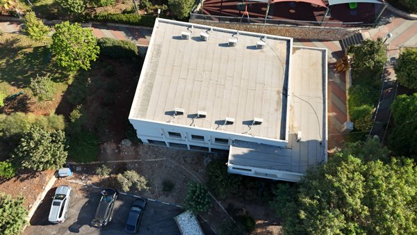
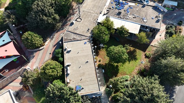 Point Cloud / 3D
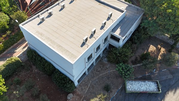
נוף מרים וילה ויליז ן
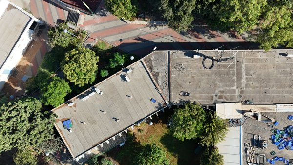 Point Cloud / 3D
נוף מרים וילה ויליז ן
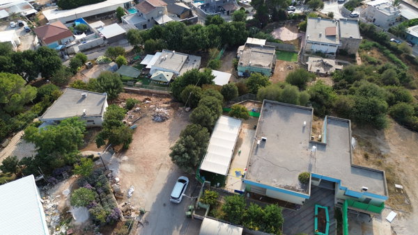 Point Cloud / 3D
Galilea Cabins בית כנסת חזון הגדול
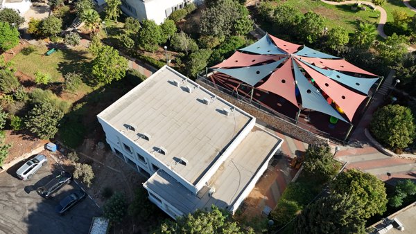 Point Cloud / 3D
נוף מרים וילה ויליז ן
 Point Cloud / 3D
נוף מרים וילה ויליז ן
 Point Cloud / 3D
נוף מרים וילה ויליז ן
 Point Cloud / 3D
נוף מרים וילה ויליז ן
 Point Cloud / 3D
נוף מרים וילה ויליז ן
 Point Cloud / 3D
נוף מרים וילה ויליז ן
 Point Cloud / 3D
נוף מרים וילה ויליז ן
No projects match your filters. Try clearing filters or searching a different term.