Drone maps & 3D models in Center District, Israel
8 sub-areas · 12 public projects on this page
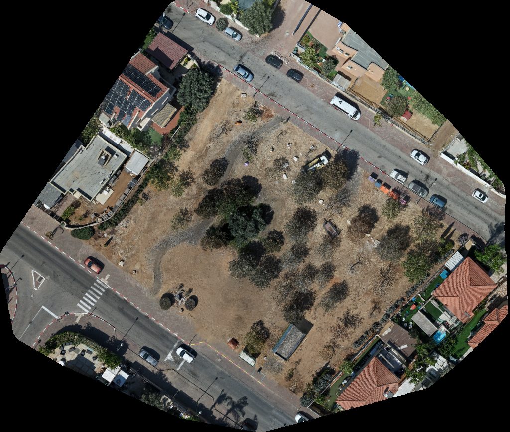
About drone maps in Center District, Israel
Explore public orthophotos (high‑resolution maps) and 3D point clouds created by pilots in Center District, Israel. Use the filters to switch between Maps and 3D, and the search to find specific sites.
FAQ for Center District, Israel
What kinds of drone data are available?
Public orthophotos (maps) and 3D point clouds captured by local pilots.
How can I make models and maps like this?
Get started for free by making an account and uploading drone imagery.
Public projects
 Point Cloud / 3D
כספומט מיה תמיר דיקור סיני וטווינא
 Point Cloud / 3D
ליבת תקשורת בע מ איתן גרנות
 Point Cloud / 3D
דורית שמש הסרת שיער בלייזר הוסטל בית מיכל
 Point Cloud / 3D
טלאור אחזקות אחזקת מבנים שירותי ניקיון למשרדים סניף בני עקיבא באר יעקב
 Point Cloud / 3D
School gates of Zion ויצמן שירותי מנעולנות
 Point Cloud / 3D
ליאורה רחימי קסם הגוף יניב חינה HennHot
 Point Cloud / 3D
Hanafat HaDegel Road Avner Ben Ner Ayalon
 Point Cloud / 3D
פטריות ינוב א פורמן ברזל
 Point Cloud / 3D
טובלי יניב ספסל נתינה
 Point Cloud / 3D
סדנת עץ למנהלים Horse and cart
 Point Cloud / 3D
סדנת עץ למנהלים Horse and cart
 Orthophoto / Map
Daniel Garden קובי יוצר באהבה
No projects match your filters. Try clearing filters or searching a different term.