Drone maps & 3D models in Ireland
11 sub-areas · 8 public projects on this page · page 2 of 2
About drone maps in Ireland
Explore public orthophotos (high‑resolution maps) and 3D point clouds created by pilots in Ireland. Use the filters to switch between Maps and 3D, and the search to find specific sites.
FAQ for Ireland
What kinds of drone data are available?
Public orthophotos (maps) and 3D point clouds captured by local pilots.
How can I make models and maps like this?
Get started for free by making an account and uploading drone imagery.
Public projects
 Orthophoto / Map
Liam Mellows Memorial Garden Sunvolt Limited
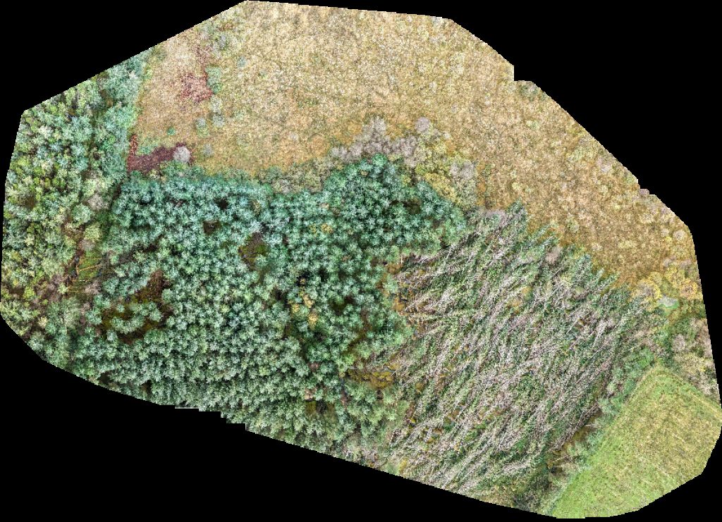
 Point Cloud / 3D
Team Ryano Senshi Judo Club
 Point Cloud / 3D
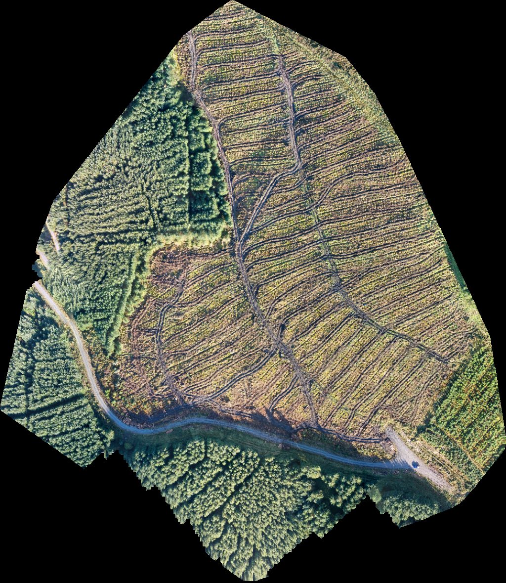
Former Site of the Sunday Well Lissenhall Nurseries
 Orthophoto / Map
Tom McAuliffe s Resting Place Geraldine Brosnan Vibrational Medicine
 Point Cloud / 3D
Former Site of the Sunday Well Lissenhall Nurseries
 Orthophoto / Map
Duhallow Way Parking Point Declan O Connor Plumbing Heating Ltd
 Point Cloud / 3D
Newbridge Walking Trail Cunningham and Sons Heavy Recovery
 Orthophoto / Map
Newbridge Walking Trail Cunningham and Sons Heavy Recovery
No projects match your filters. Try clearing filters or searching a different term.