Drone maps & 3D models in Hong Kong SAR
2 sub-areas · 4 public projects on this page
About drone maps in Hong Kong SAR
Explore public orthophotos (high‑resolution maps) and 3D point clouds created by pilots in Hong Kong SAR. Use the filters to switch between Maps and 3D, and the search to find specific sites.
FAQ for Hong Kong SAR
What kinds of drone data are available?
Public orthophotos (maps) and 3D point clouds captured by local pilots.
How can I make models and maps like this?
Get started for free by making an account and uploading drone imagery.
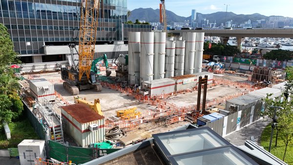
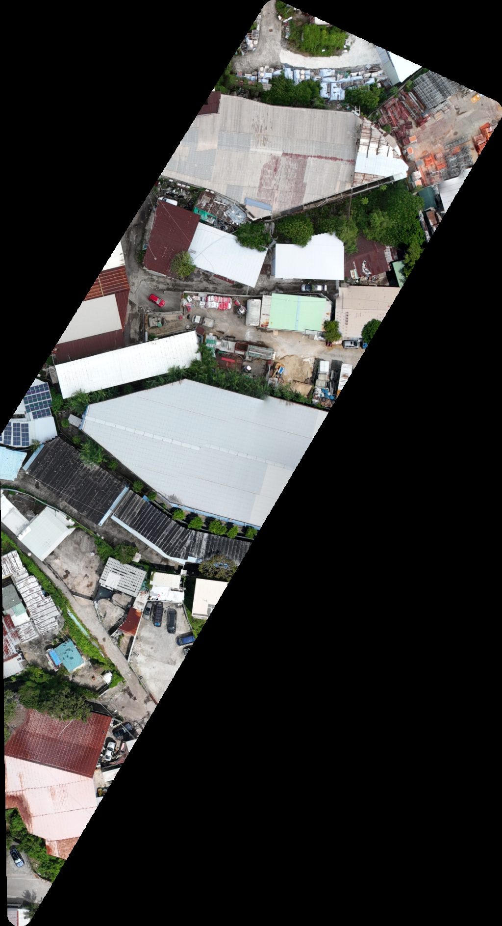
Public projects
 Point Cloud / 3D
華永會崇孝樓 羅澤城
 Point Cloud / 3D
安福街遊樂場 Hispeed office
 Point Cloud / 3D
Hoi Bun Road Park Athletic Field
 Orthophoto / Map
Omni Driving Consultant Ltd 音樂人娛樂製作
No projects match your filters. Try clearing filters or searching a different term.