Drone maps & 3D models in Wales, United Kingdom
4 sub-areas · 4 public projects on this page
About drone maps in Wales, United Kingdom
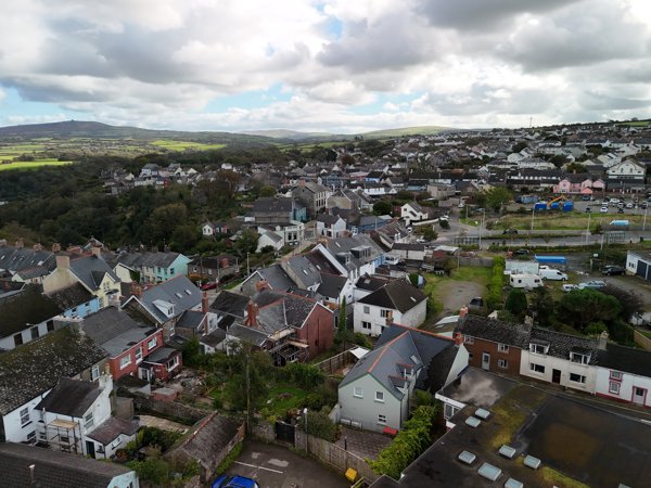
Explore public orthophotos (high‑resolution maps) and 3D point clouds created by pilots in Wales, United Kingdom. Use the filters to switch between Maps and 3D, and the search to find specific sites.
FAQ for Wales, United Kingdom
What kinds of drone data are available?
Public orthophotos (maps) and 3D point clouds captured by local pilots.
How can I make models and maps like this?
Get started for free by making an account and uploading drone imagery.
Public projects
 Orthophoto / Map
Five Guys Burgers and Fries Designer Outlet Mowgli Street Food
 Orthophoto / Map
Pen y Bryn Royal Mail Post Box
 Point Cloud / 3D
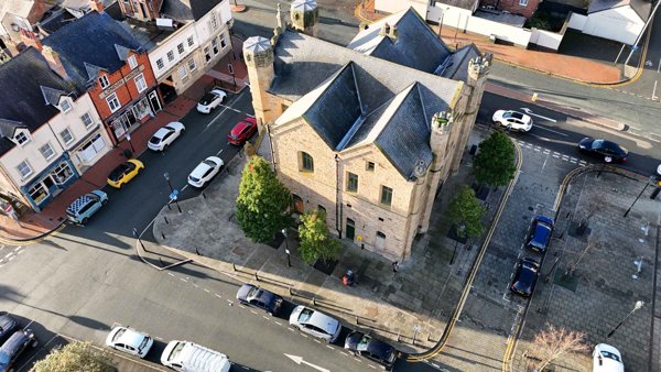
North Wales Chinese Kickboxing Flint Town Hall
 Point Cloud / 3D
Motortackle Betta Buys
No projects match your filters. Try clearing filters or searching a different term.