Drone maps & 3D models in Tyne And Wear, England, GB
3 sub-areas · 3 public projects on this page
About drone maps in Tyne And Wear, England, GB
Explore public orthophotos (high‑resolution maps) and 3D point clouds created by pilots in Tyne And Wear, England, GB. Use the filters to switch between Maps and 3D, and the search to find specific sites.
FAQ for Tyne And Wear, England, GB
What kinds of drone data are available?
Public orthophotos (maps) and 3D point clouds captured by local pilots.
How can I make models and maps like this?
Get started for free by making an account and uploading drone imagery.
Browse areas
- Leechmere Road Toll (1)
- Melbourne Gardens (1)
- North East (1)
Public projects
 Point Cloud / 3D
Melbourne Gardens
 Orthophoto / Map
Car park Tunstall Hills Nature Reserve Hill Allotments
 Point Cloud / 3D
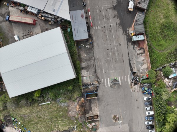
SM Motoring services Sunderland City Council Houghton Depot
No projects match your filters. Try clearing filters or searching a different term.