Drone maps & 3D models in Oxfordshire, England, United Kingdom
4 sub-areas · 6 public projects on this page
About drone maps in Oxfordshire, England, United Kingdom
Explore public orthophotos (high‑resolution maps) and 3D point clouds created by pilots in Oxfordshire, England, United Kingdom. Use the filters to switch between Maps and 3D, and the search to find specific sites.
FAQ for Oxfordshire, England, United Kingdom
What kinds of drone data are available?
Public orthophotos (maps) and 3D point clouds captured by local pilots.
How can I make models and maps like this?
Get started for free by making an account and uploading drone imagery.
Public projects
 Point Cloud / 3D
OSJCT Moorside Place Tony Bennell Entertainment Agency
 Orthophoto / Map
OSJCT Moorside Place Tony Bennell Entertainment Agency
 Orthophoto / Map
The Beckley Foundation RSPB Otmoor
 Orthophoto / Map
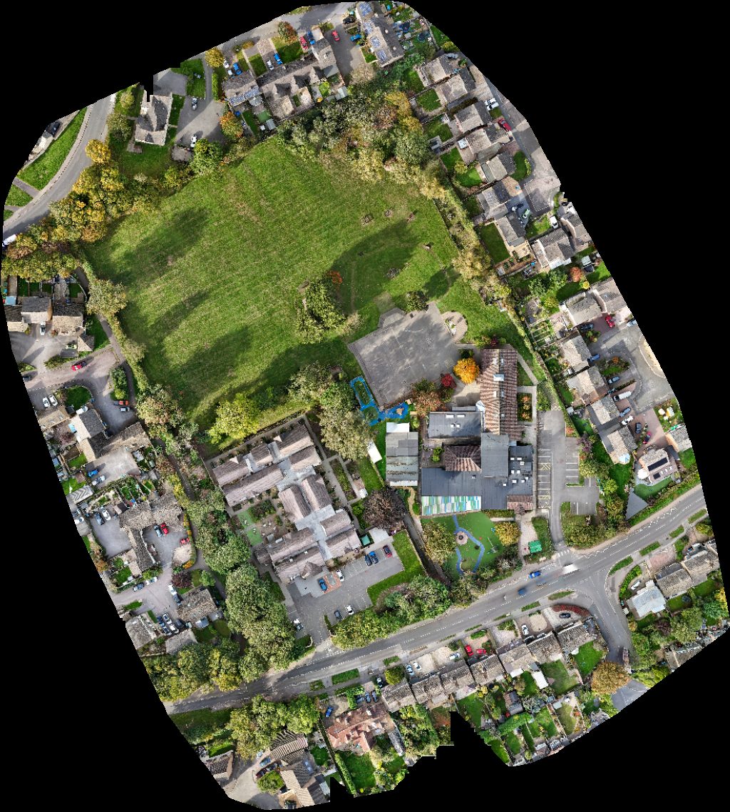
Profels St Hugh Of Lincoln Nursery School
 Point Cloud / 3D
Move Massage Defacto Records Music Studio Home of Group
 Orthophoto / Map
Move Massage Defacto Records Music Studio Home of Group
No projects match your filters. Try clearing filters or searching a different term.