Site context
About this map
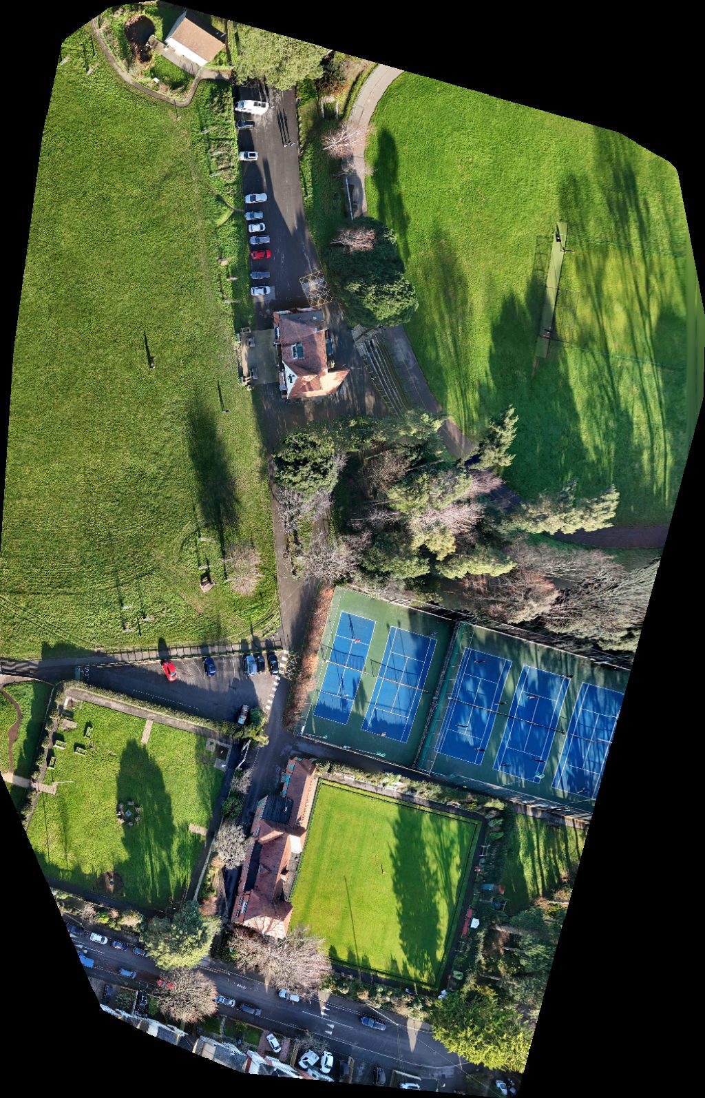
This page displays an interactive drone map of Winton Recreation Ground Playground Carnival Fairground in Bournemouth, Christchurch And Poole, England, United Kingdom. The viewer above is the primary experience: pan, zoom, switch visualization modes, and inspect the capture without installing extra software.
It can help review site layout, roof lines, pavement, vegetation, surface materials, drainage patterns, and other visible conditions. The available project data includes orthomosaic map tiles, the source orthophoto when available, and supporting point-cloud data, depending on the outputs generated for this scan.
- Processed
- December 22, 2025
- Location
- Bournemouth, Christchurch And Poole, England, United Kingdom
- Center coordinates
- 50.73943° N, 1.86841° W
- Capture type
- Orthomosaic map