Drone maps & 3D models in Finland
9 sub-areas · 20 public projects on this page
About drone maps in Finland
Explore public orthophotos (high‑resolution maps) and 3D point clouds created by pilots in Finland. Use the filters to switch between Maps and 3D, and the search to find specific sites.
FAQ for Finland
What kinds of drone data are available?
Public orthophotos (maps) and 3D point clouds captured by local pilots.
How can I make models and maps like this?
Get started for free by making an account and uploading drone imagery.
Public projects
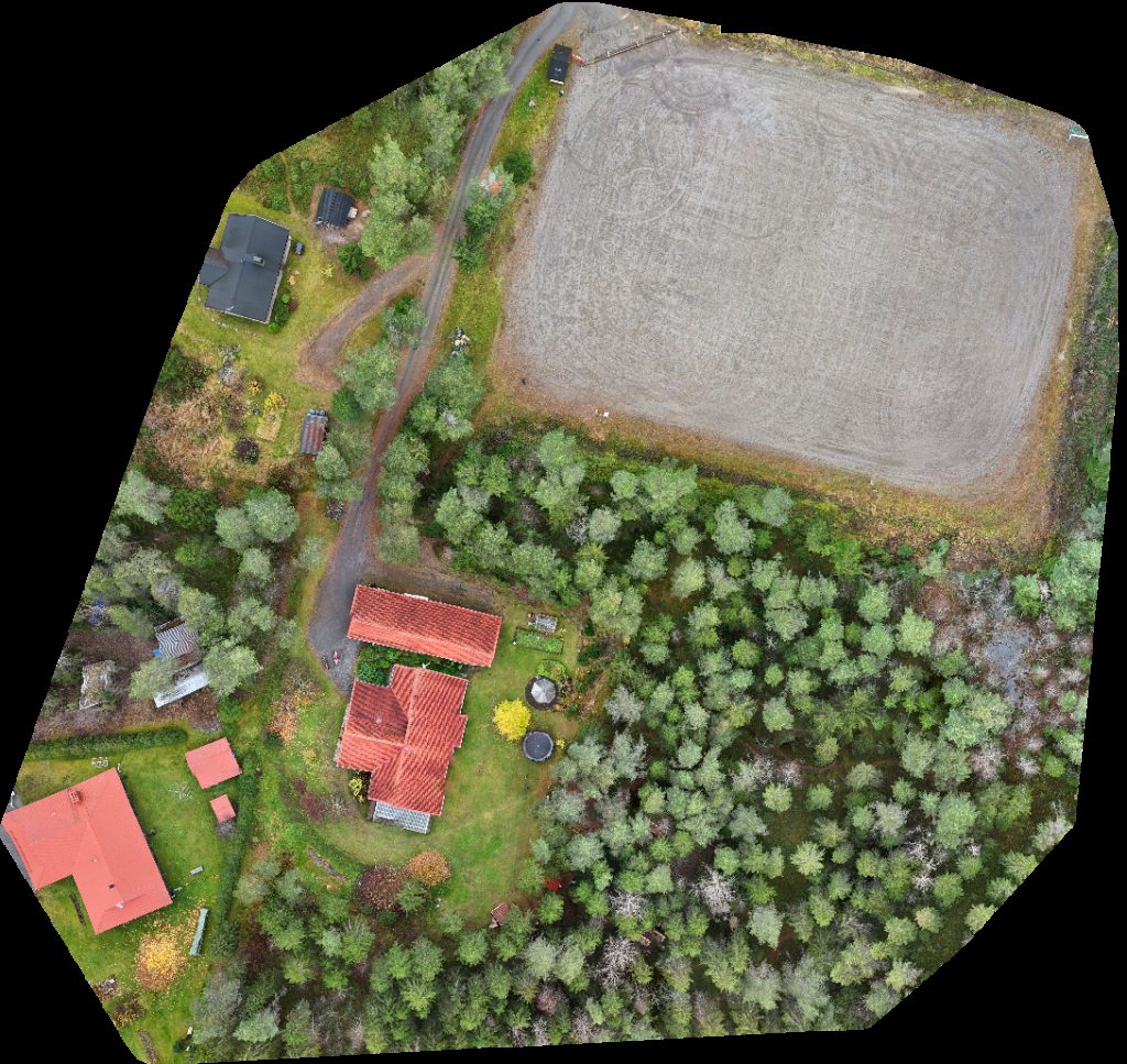
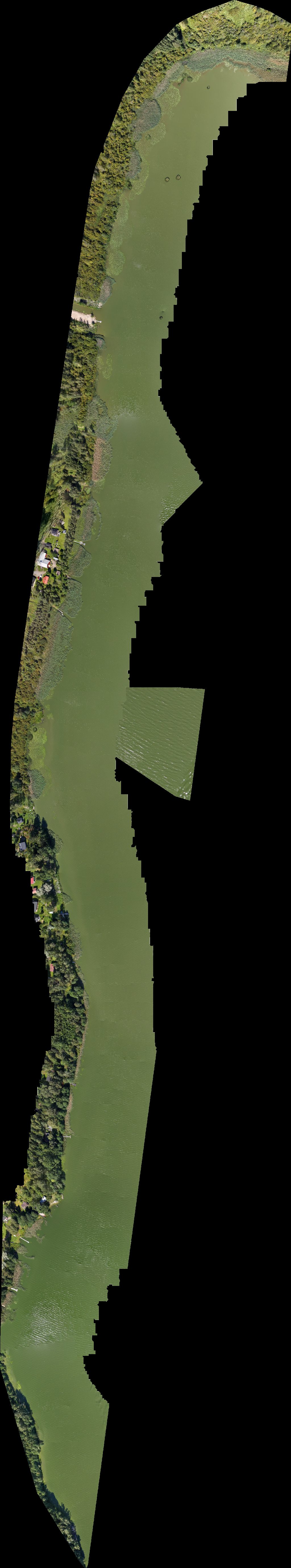
 Orthophoto / Map
Ladun Majan Frisbeegolfrata Pienlemmikkien hautausmaa
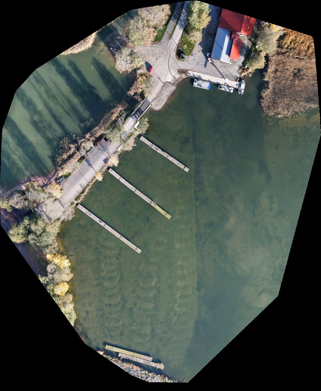
 Orthophoto / Map
Ladun Majan Frisbeegolfrata Pienlemmikkien hautausmaa
 Point Cloud / 3D
Ladun Majan Frisbeegolfrata Pienlemmikkien hautausmaa
 Point Cloud / 3D
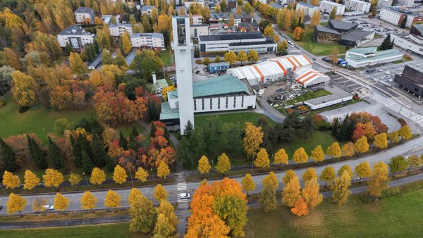
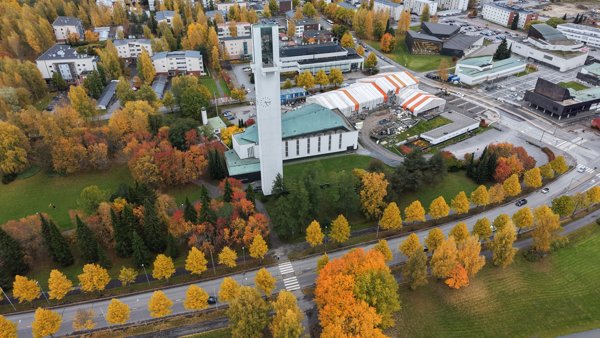
Time Apartments Kärpänkuja One Bedroom Apartment Halssilan Seurakuntakeskus
 Point Cloud / 3D
Kahvila Korsu Postin automaatti
 Orthophoto / Map
Cozmei Oy Nyman Jan Christer Mikael
 Orthophoto / Map
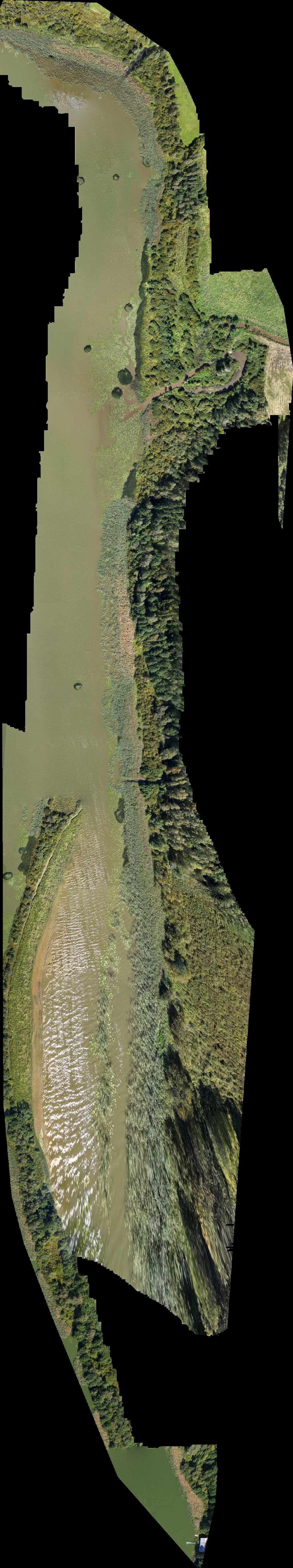
Lemlahden silta Mäntykaluste Nikkonen
 Orthophoto / Map
Väärälänperän urheilukenttä Paso Risto Kalervo
 Orthophoto / Map
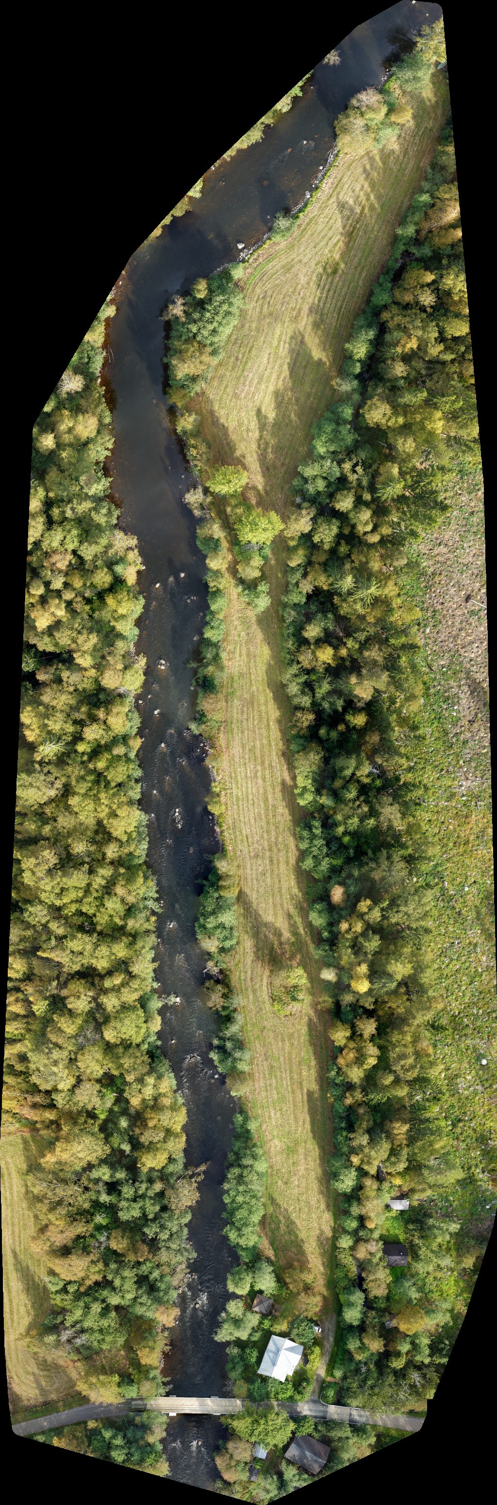
Katismaan kesäteatteri saari
 Point Cloud / 3D
Lakeus Wilson Pub
 Point Cloud / 3D
Lakeus Wilson Pub
 Point Cloud / 3D
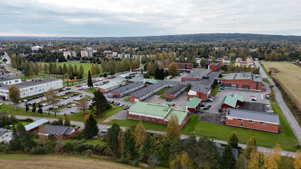
Sedu Kirkkokatu Ammattioppilaitos
 Orthophoto / Map
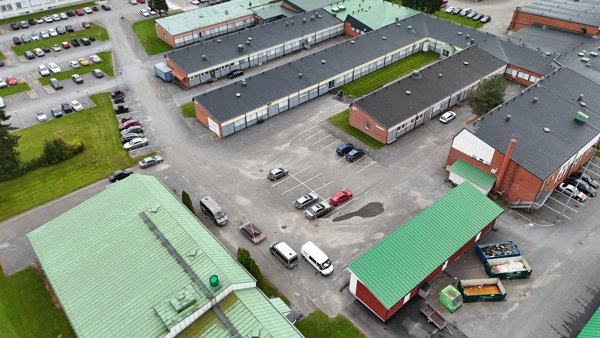
Sedu Ammattikoulunkatu 9 Parking
 Orthophoto / Map
Sedu Ammattikoulunkatu 9 Parking
 Orthophoto / Map
Sedu VIRTA Charging Station
 Point Cloud / 3D
Tmi Jyrki Tuulari Ammattikoulunkatu 9 Parking
 Point Cloud / 3D
Ammattikoulunkatu 9 Parking Sedu
 Orthophoto / Map
Urakoitsija Jouko P Pylkkänen Kostian Mökki
 Orthophoto / Map
th L I
 Orthophoto / Map
Agenteq Consulting Oy Rakennuspalvelu T Retva
No projects match your filters. Try clearing filters or searching a different term.