Drone maps & 3D models in Egypt
4 sub-areas · 4 public projects on this page
About drone maps in Egypt
Explore public orthophotos (high‑resolution maps) and 3D point clouds created by pilots in Egypt. Use the filters to switch between Maps and 3D, and the search to find specific sites.
FAQ for Egypt
What kinds of drone data are available?
Public orthophotos (maps) and 3D point clouds captured by local pilots.
How can I make models and maps like this?
Get started for free by making an account and uploading drone imagery.
Public projects
 Point Cloud / 3D
خالد محطة الايتام للمحروقات ALAYTAM PETROLEUM BIR ALABED
 Point Cloud / 3D
ready rocks اولاد ابوزيد
 Point Cloud / 3D
شركة مزارع الحرفيون العرب Lafarge RMX plant Alminia
 Point Cloud / 3D
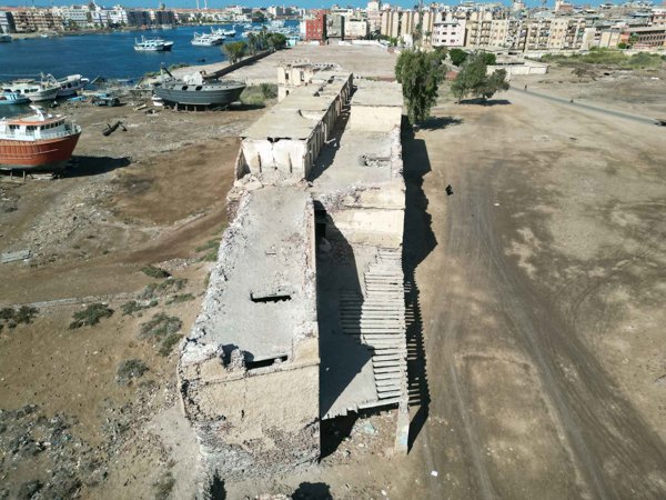
مسجد المغربى التابع لطابية أحمد علاابى قلعة وطابية احمد عرابي
No projects match your filters. Try clearing filters or searching a different term.