Drone maps & 3D models in Nrw, Germany
8 sub-areas · 11 public projects on this page
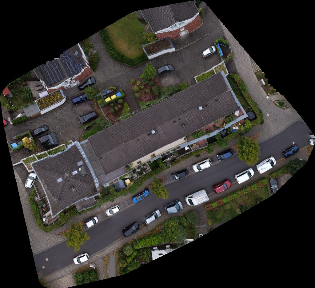
About drone maps in Nrw, Germany
Explore public orthophotos (high‑resolution maps) and 3D point clouds created by pilots in Nrw, Germany. Use the filters to switch between Maps and 3D, and the search to find specific sites.
FAQ for Nrw, Germany
What kinds of drone data are available?
Public orthophotos (maps) and 3D point clouds captured by local pilots.
How can I make models and maps like this?
Get started for free by making an account and uploading drone imagery.
Public projects
 Orthophoto / Map
Softeis im Kirchspiel Hegering Bönen e V
 Orthophoto / Map
Softeis im Kirchspiel Hegering Bönen e V
 Orthophoto / Map
Softeis im Kirchspiel Hegering Bönen e V
 Orthophoto / Map
Softeis im Kirchspiel Hegering Bönen e V
 Point Cloud / 3D
der blumentaler EDV Service Alter Waldteich
 Point Cloud / 3D
8th Prussian Cuirassiers Memorial Ehemalige Bahndamm Mauer
 Point Cloud / 3D
Norman Heckenbach Integratives Pflegenest Sterntaler
 Point Cloud / 3D
Martina Michels Hetjens Spielplatz Ringstraße
 Orthophoto / Map
OT Höhe Spielplatz
 Point Cloud / 3D
Papierfabrik Zerkall GmbH Werk 2 Malerbetrieb Lemaire Wand Bodengestaltung
 Orthophoto / Map
Adrian Sobek Gebäudesanierung Xana Sabine Meinecke
No projects match your filters. Try clearing filters or searching a different term.