Drone maps & 3D models in He, Germany
3 sub-areas · 6 public projects on this page
About drone maps in He, Germany
Explore public orthophotos (high‑resolution maps) and 3D point clouds created by pilots in He, Germany. Use the filters to switch between Maps and 3D, and the search to find specific sites.
FAQ for He, Germany
What kinds of drone data are available?
Public orthophotos (maps) and 3D point clouds captured by local pilots.
How can I make models and maps like this?
Get started for free by making an account and uploading drone imagery.
Public projects
 Orthophoto / Map
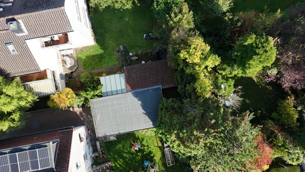
Naumann Heinrich GmbH Co KG H Hilberg
 Point Cloud / 3D
Naumann Heinrich GmbH Co KG H Hilberg
 Point Cloud / 3D
ENERGIE OASE Inh Sabine Buschbeck Wehrheim Hans Günter Dr med Internist
 Point Cloud / 3D
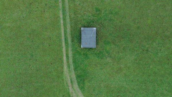
Schutzhütte Crumbach Sichten
 Point Cloud / 3D
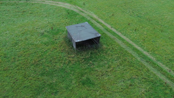
Schutzhütte Crumbach Sichten
 Point Cloud / 3D
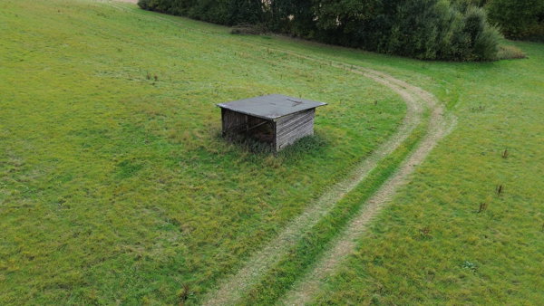
Schutzhütte Crumbach Sichten
No projects match your filters. Try clearing filters or searching a different term.