Drone maps & 3D models in Baden-Württemberg, Germany
7 sub-areas · 10 public projects on this page
About drone maps in Baden-Württemberg, Germany
Explore public orthophotos (high‑resolution maps) and 3D point clouds created by pilots in Baden-Württemberg, Germany. Use the filters to switch between Maps and 3D, and the search to find specific sites.
FAQ for Baden-Württemberg, Germany
What kinds of drone data are available?
Public orthophotos (maps) and 3D point clouds captured by local pilots.
How can I make models and maps like this?
Get started for free by making an account and uploading drone imagery.
Public projects
 Point Cloud / 3D
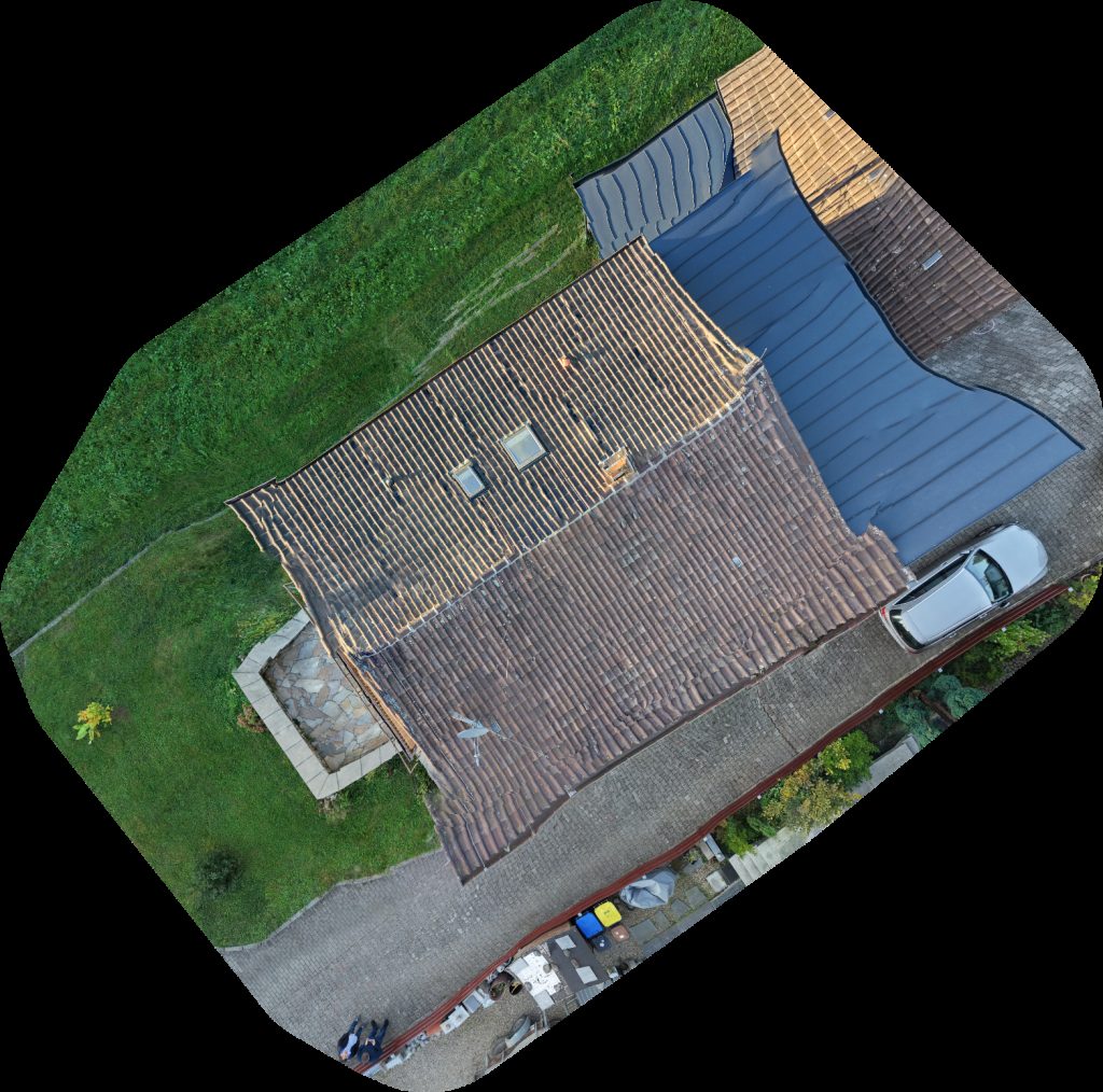
Kiesgrube Kieswerk Schray GmbH Co KG
 Point Cloud / 3D
Kiesgrube Kieswerk Schray GmbH Co KG
 Point Cloud / 3D
KSK Partner Malermeister Meholli Bau
 Orthophoto / Map
R Schmitt GmbH Co KG MG Service
 Orthophoto / Map
Bosche Schiffsbedarf Inhaber Salisso Schiffsausrüstung GmbH Schiffliegestelle Friesenheimer Insel
 Point Cloud / 3D
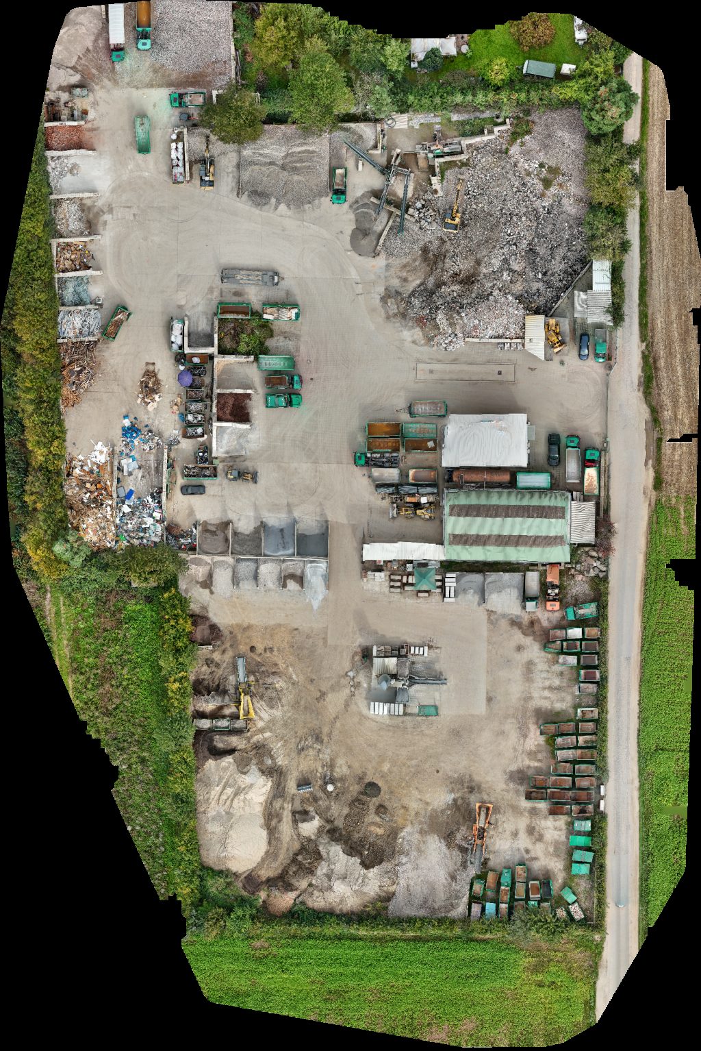
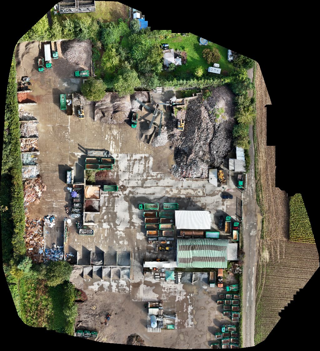
AKI Musberg e V Recyclinghof
 Orthophoto / Map
energieco Karl Heinz Flamm FotoGrafie
 Orthophoto / Map
Fritz Bauer GmbH Weide Hähnchen natürlich auf der aufgewachsen
 Point Cloud / 3D
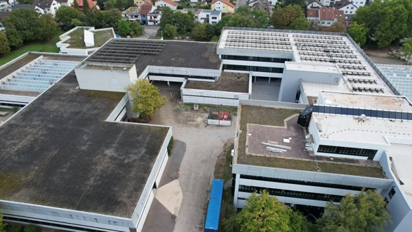
Kurpfalz Gymnasium KGS Verein der Freunde des Gymnasiums e V in
 Orthophoto / Map
Fritz Bauer GmbH Weide Hähnchen natürlich auf der aufgewachsen
No projects match your filters. Try clearing filters or searching a different term.