Drone maps & 3D models in Kralovehradecky Kraj, Czechia
3 sub-areas · 3 public projects on this page
About drone maps in Kralovehradecky Kraj, Czechia
Explore public orthophotos (high‑resolution maps) and 3D point clouds created by pilots in Kralovehradecky Kraj, Czechia. Use the filters to switch between Maps and 3D, and the search to find specific sites.
FAQ for Kralovehradecky Kraj, Czechia
What kinds of drone data are available?
Public orthophotos (maps) and 3D point clouds captured by local pilots.
How can I make models and maps like this?
Get started for free by making an account and uploading drone imagery.
Public projects
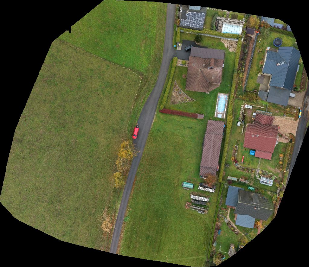
 Orthophoto / Map
škola Zahradnické práce Petr Nosek
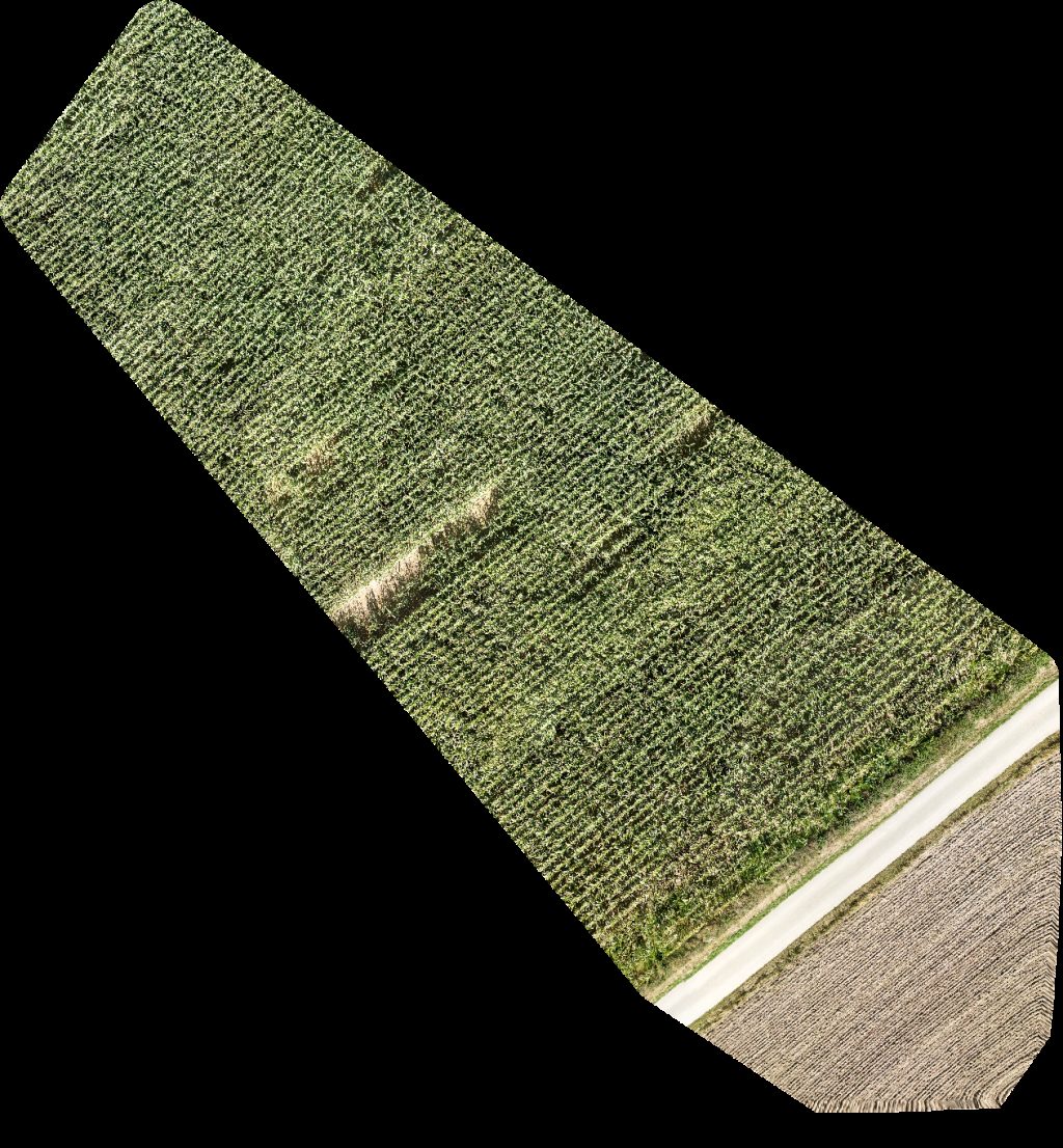
 Orthophoto / Map
Miroslav Hozda Úklidová Agentura Ve va
 Orthophoto / Map
YAPP CZECH AUTOMOTIVE SYSTEMS Co s r o Magna Exteriors Bohemia
No projects match your filters. Try clearing filters or searching a different term.