Drone maps & 3D models in Sonson, Antioquia, CO
2 sub-areas · 6 public projects on this page
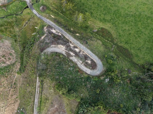
About drone maps in Sonson, Antioquia, CO
Explore public orthophotos (high‑resolution maps) and 3D point clouds created by pilots in Sonson, Antioquia, CO. Use the filters to switch between Maps and 3D, and the search to find specific sites.
FAQ for Sonson, Antioquia, CO
What kinds of drone data are available?
Public orthophotos (maps) and 3D point clouds captured by local pilots.
How can I make models and maps like this?
Get started for free by making an account and uploading drone imagery.
Browse areas
- Finca La (5)
- Restaurante La (1)
Public projects
 Orthophoto / Map
Parador Sun Finca Juglares
 Orthophoto / Map
Parador Sun Finca Juglares
 Point Cloud / 3D
Parador Sun Finca Juglares
 Orthophoto / Map
Parador Sun Finca Juglares
 Orthophoto / Map
Finca la Iglesita Franca Yorladis
 Point Cloud / 3D
Centro Educativo Rural La Honda TEXACO
No projects match your filters. Try clearing filters or searching a different term.