Drone maps & 3D models in China
2 sub-areas · 3 public projects on this page
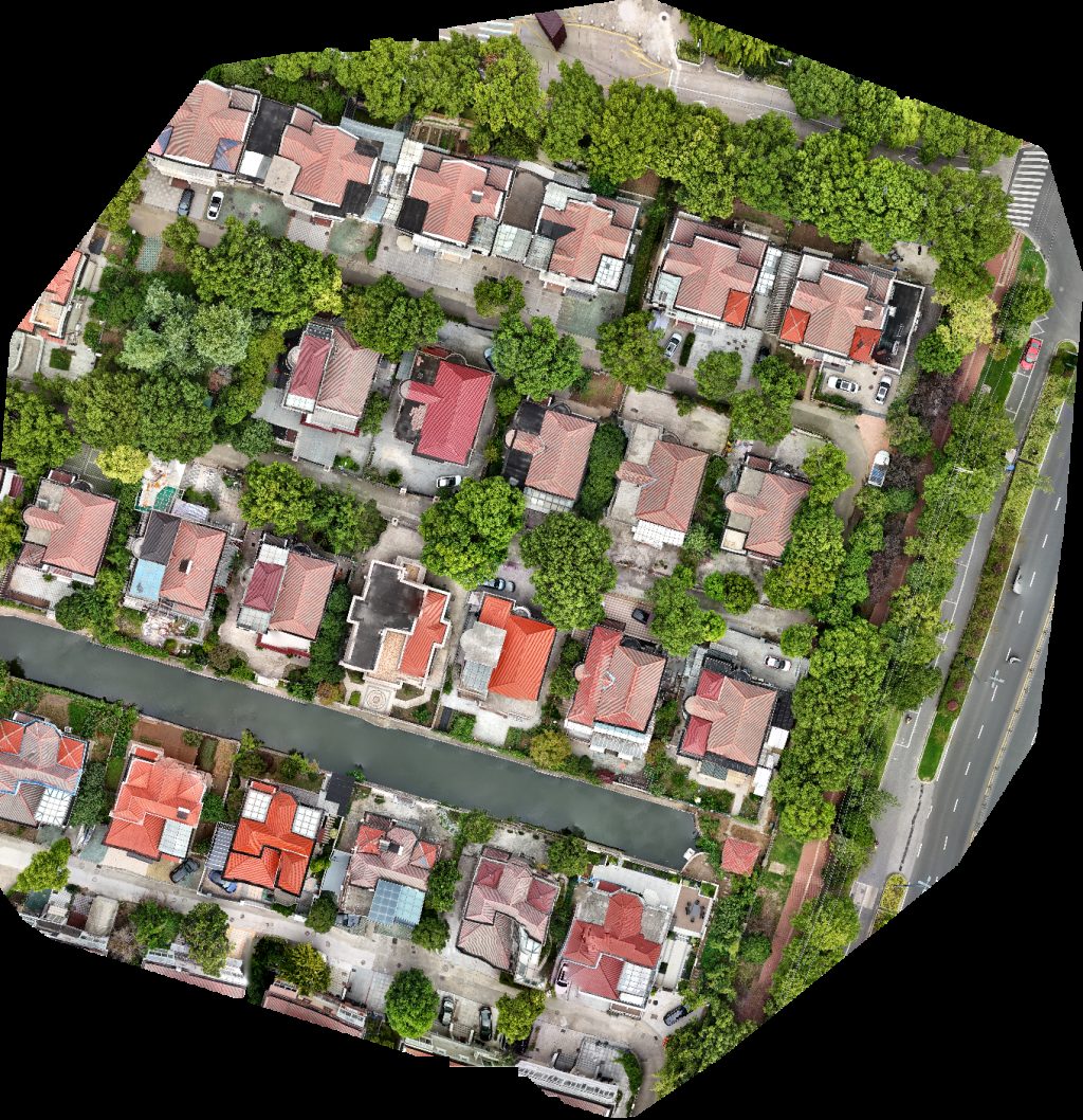
About drone maps in China
Explore public orthophotos (high‑resolution maps) and 3D point clouds created by pilots in China. Use the filters to switch between Maps and 3D, and the search to find specific sites.
FAQ for China
What kinds of drone data are available?
Public orthophotos (maps) and 3D point clouds captured by local pilots.
How can I make models and maps like this?
Get started for free by making an account and uploading drone imagery.
Public projects
 Point Cloud / 3D
南澳西冲旅游度假区 西冲情人岛
 Point Cloud / 3D
Dianniu Section Dadian
 Orthophoto / Map
Nantong Children Art Culture Further Education School 金水湾花园
No projects match your filters. Try clearing filters or searching a different term.