Drone maps & 3D models in Zh, Switzerland
3 sub-areas · 12 public projects on this page
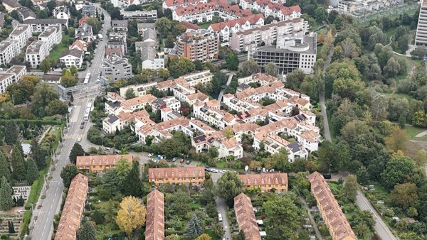
About drone maps in Zh, Switzerland
Explore public orthophotos (high‑resolution maps) and 3D point clouds created by pilots in Zh, Switzerland. Use the filters to switch between Maps and 3D, and the search to find specific sites.
FAQ for Zh, Switzerland
What kinds of drone data are available?
Public orthophotos (maps) and 3D point clouds captured by local pilots.
How can I make models and maps like this?
Get started for free by making an account and uploading drone imagery.
Public projects
 Point Cloud / 3D
Kosmetik Balance Züerich Wiedikon
 Point Cloud / 3D
Swiss Life Immopulse Generalagentur Binz
 Point Cloud / 3D
CLOUDS GAM Investment Management Switzerland AG
 Point Cloud / 3D
Stadion Letzigrund LC
 Point Cloud / 3D
Grabstein Johanna Spyri Platz der Erinnerung
 Orthophoto / Map
Wimmotec Ivo Gretener Fotografie
 Point Cloud / 3D
TCM42 GmbH Coiffeursalon Carmen
 Point Cloud / 3D
Paar Eltern Familienberatung Coaching Christine Seith speziell für Krise Trauer Schicksalsschläge mehr als nur Trauerbegeitung
 Point Cloud / 3D
AuPark ICM AG
 Point Cloud / 3D
Aucenter Halbinsel Au
 Point Cloud / 3D
ImmoTech Service Baum
 Point Cloud / 3D
Elektro Dittli AG Walter Sieber
No projects match your filters. Try clearing filters or searching a different term.