Drone maps & 3D models in Vaud, Switzerland
7 sub-areas · 15 public projects on this page
About drone maps in Vaud, Switzerland
Explore public orthophotos (high‑resolution maps) and 3D point clouds created by pilots in Vaud, Switzerland. Use the filters to switch between Maps and 3D, and the search to find specific sites.
FAQ for Vaud, Switzerland
What kinds of drone data are available?
Public orthophotos (maps) and 3D point clouds captured by local pilots.
How can I make models and maps like this?
Get started for free by making an account and uploading drone imagery.
Public projects
 Orthophoto / Map
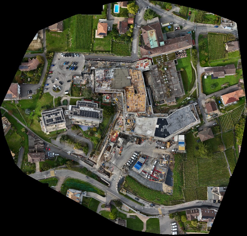
Cully Hôpital de Mrs Michèle Sandoz
 Orthophoto / Map
Nursery Les P tites Bobines L Abrit
 Orthophoto / Map
Venoge Festival Nursery Les P tites Bobines
 Orthophoto / Map
AATSSO CMS Cully
 Orthophoto / Map
Refuge d Eclepens Cinq Sous
 Orthophoto / Map
Cabane à grillade Dance Music Projects
 Orthophoto / Map
CMS Cully Hôpital de
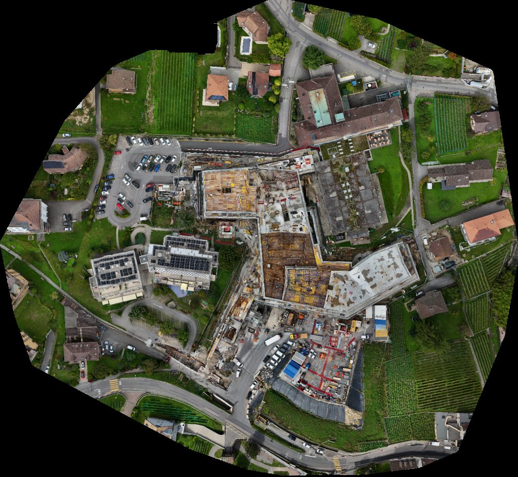
 Point Cloud / 3D
Comfortable apartment with balcony and view 2 pièces
 Orthophoto / Map
Dent ta maison CAT de l Hôpital
 Orthophoto / Map
Cully Hôpital de CAT l
 Orthophoto / Map
Cully Hôpital de CAT l
 Orthophoto / Map
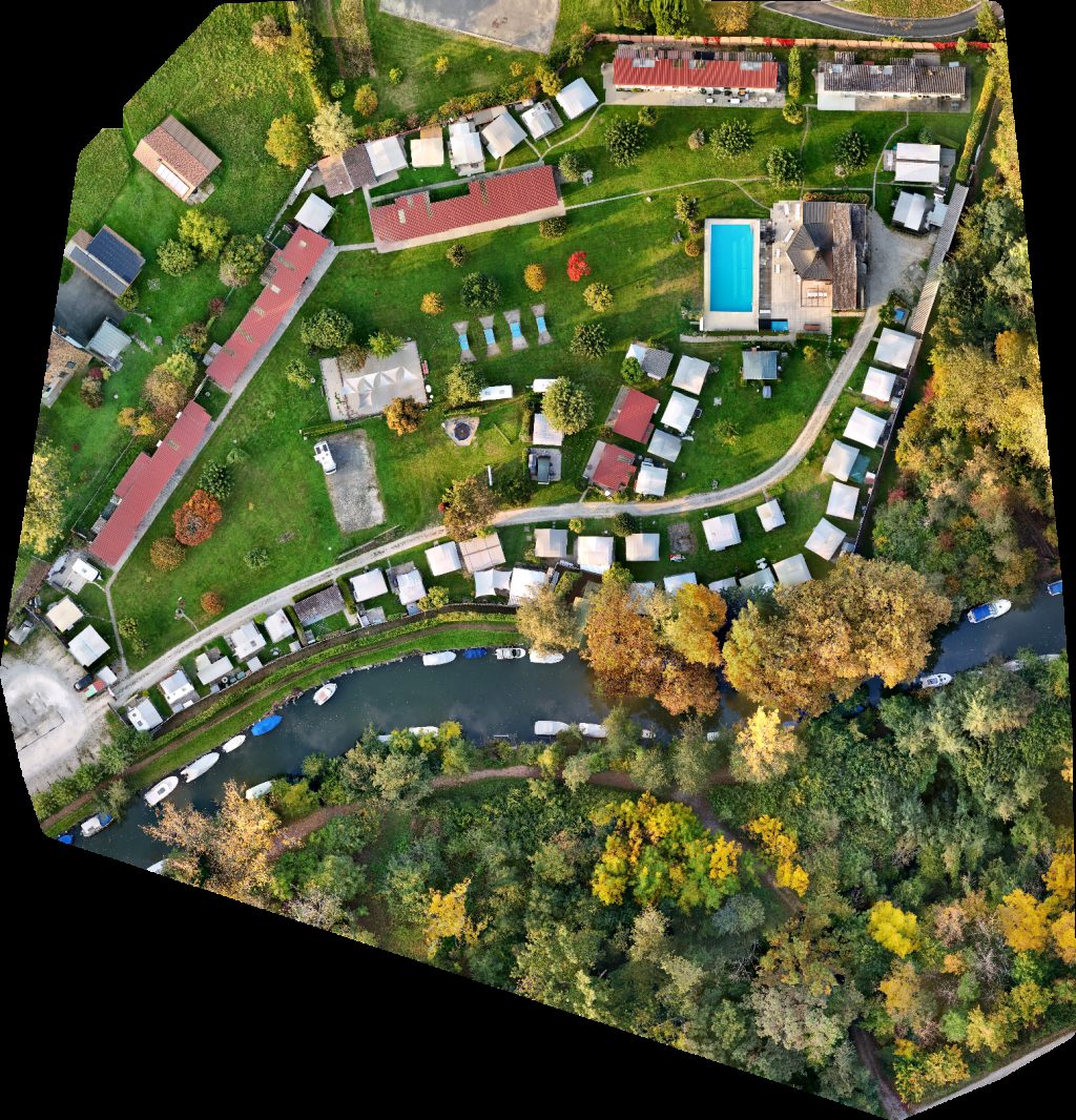
Camping Club Léman Sentier aux Oiseaux
 Point Cloud / 3D
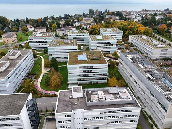
Siemens Healthineers World Connect Services Sarl
 Orthophoto / Map
CMS Cully Hôpital de
 Orthophoto / Map
CMS Cully Hôpital de
No projects match your filters. Try clearing filters or searching a different term.