Drone maps & 3D models in Quebec, Canada
23 sub-areas · 23 public projects on this page · page 2 of 2
About drone maps in Quebec, Canada
Explore public orthophotos (high‑resolution maps) and 3D point clouds created by pilots in Quebec, Canada. Use the filters to switch between Maps and 3D, and the search to find specific sites.
FAQ for Quebec, Canada
What kinds of drone data are available?
Public orthophotos (maps) and 3D point clouds captured by local pilots.
How can I make models and maps like this?
Get started for free by making an account and uploading drone imagery.
Public projects
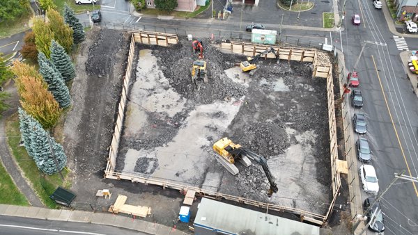
 Orthophoto / Map
Maricourt De Kensington Westley
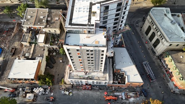
 Orthophoto / Map
AI Mate Suite Bobino
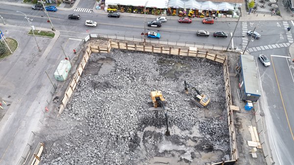
 Orthophoto / Map
AI Mate Suite Bobino
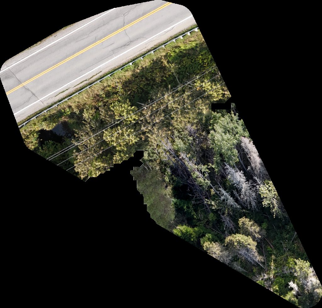
 Point Cloud / 3D
Ferme veaux fruits senc Villa Des Plants Enrg
 Point Cloud / 3D
Parc de Versailles wading pool municipal
 Orthophoto / Map
Parc de l Anse aux Chênes Dimensional Laser Metrology
 Point Cloud / 3D
Parc Louise Deschênes Bocce Ball Court
 Point Cloud / 3D
Paquin Park Kids Playground 18 months to 5 years old
 Orthophoto / Map
Anciens Combattants Parking lot Circuit électrique Charging Station
 Orthophoto / Map
Forêt d enseignement et de recherche du lac Duparquet Camping Hébécourt
 Orthophoto / Map
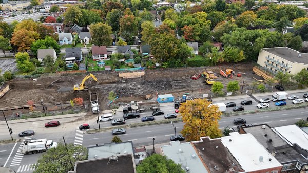
Forbourg Cons Reno Inc Construction Perth
 Point Cloud / 3D
STYLEDIMAGE VFX EDE DE LA MAIN GAUCHE
 Orthophoto / Map
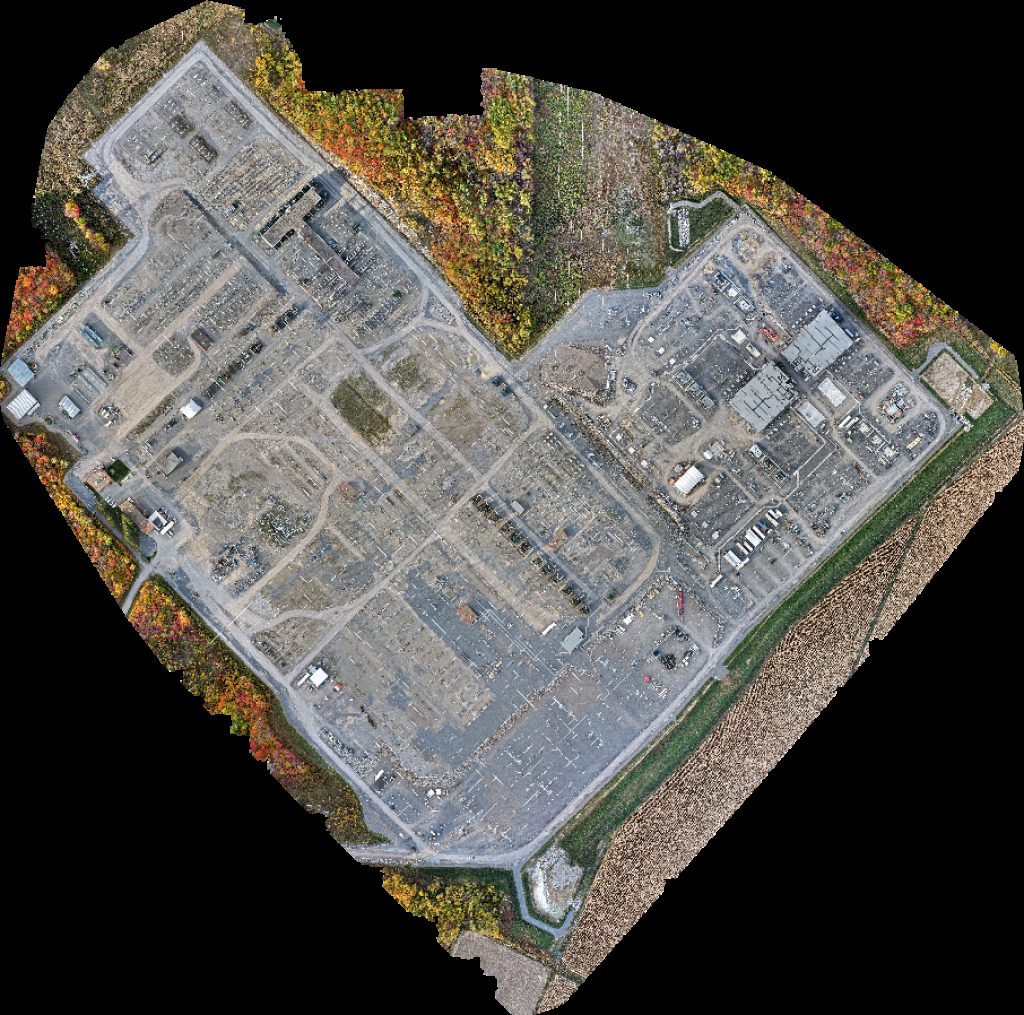
Hydro Québec Poste Châteauguay L E A D Électrique Inc
 Point Cloud / 3D
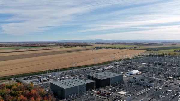
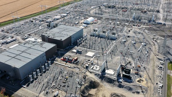
Hydro Québec Poste Châteauguay Ferme Leduc Freres
 Point Cloud / 3D
Hydro Québec Poste Châteauguay Ferme Leduc Freres
 Point Cloud / 3D
Proprio Direct Courtiers immobiliers Dentist
 Point Cloud / 3D
Societe Immobiliere Yvon Stationnement municipal
 Orthophoto / Map
Cottages Park De Jardins en Saisons
 Point Cloud / 3D
Western Union Agent Location Royal Snacks
 Point Cloud / 3D
Lory Fleurs Les Jardins Beaudin
 Point Cloud / 3D
Tamark Beverages Inc Parfums Christian Dior
 Point Cloud / 3D
Caci Ftd Charlevoix Écoboutique
 Orthophoto / Map
Galveco inc Caci Ftd Charlevoix
No projects match your filters. Try clearing filters or searching a different term.