Drone maps & 3D models in Montreal, Quebec, Canada
7 sub-areas · 12 public projects on this page
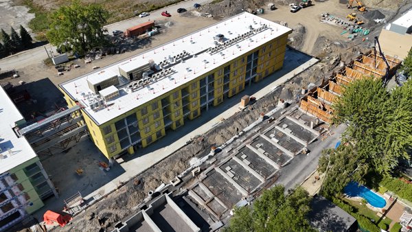
About drone maps in Montreal, Quebec, Canada
Explore public orthophotos (high‑resolution maps) and 3D point clouds created by pilots in Montreal, Quebec, Canada. Use the filters to switch between Maps and 3D, and the search to find specific sites.
FAQ for Montreal, Quebec, Canada
What kinds of drone data are available?
Public orthophotos (maps) and 3D point clouds captured by local pilots.
How can I make models and maps like this?
Get started for free by making an account and uploading drone imagery.
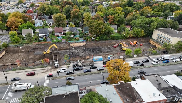
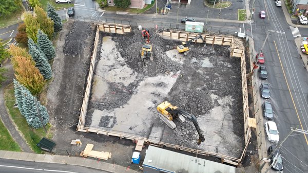
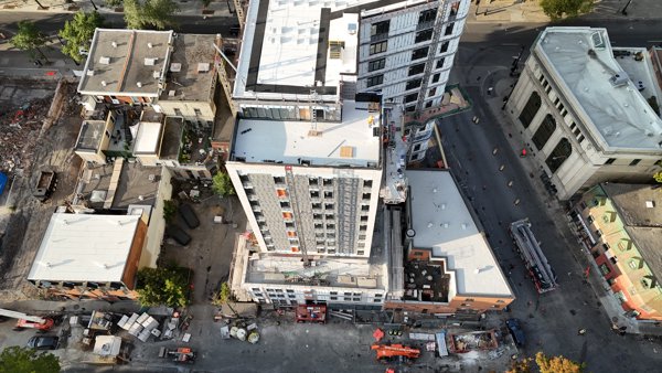
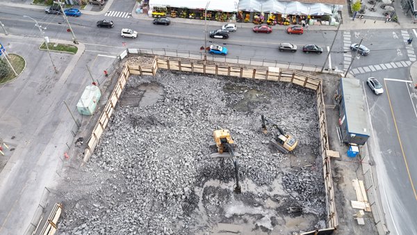
Public projects
 Orthophoto / Map
La Fontaine Park Baseball Diamond Jardin du petit monde à bicyclette
 Point Cloud / 3D
La Fontaine Park Baseball Diamond Jardin du petit monde à bicyclette
 Point Cloud / 3D
Parc de Versailles wading pool municipal
 Orthophoto / Map
Parc de l Anse aux Chênes Dimensional Laser Metrology
 Point Cloud / 3D
Parc Louise Deschênes Bocce Ball Court
 Point Cloud / 3D
Paquin Park Kids Playground 18 months to 5 years old
 Orthophoto / Map
Anciens Combattants Parking lot Circuit électrique Charging Station
 Point Cloud / 3D
Proprio Direct Courtiers immobiliers Dentist
 Point Cloud / 3D
Societe Immobiliere Yvon Stationnement municipal
 Point Cloud / 3D
Western Union Agent Location Royal Snacks
 Point Cloud / 3D
Lory Fleurs Les Jardins Beaudin
 Point Cloud / 3D
Tamark Beverages Inc Parfums Christian Dior
No projects match your filters. Try clearing filters or searching a different term.