Drone maps & 3D models in Dalhousie, New Brunswick, Canada
3 public projects on this page
About drone maps in Dalhousie, New Brunswick, Canada
Explore public orthophotos (high‑resolution maps) and 3D point clouds created by pilots in Dalhousie, New Brunswick, Canada. Use the filters to switch between Maps and 3D, and the search to find specific sites.
FAQ for Dalhousie, New Brunswick, Canada
What kinds of drone data are available?
Public orthophotos (maps) and 3D point clouds captured by local pilots.
How can I make models and maps like this?
Get started for free by making an account and uploading drone imagery.
Public projects
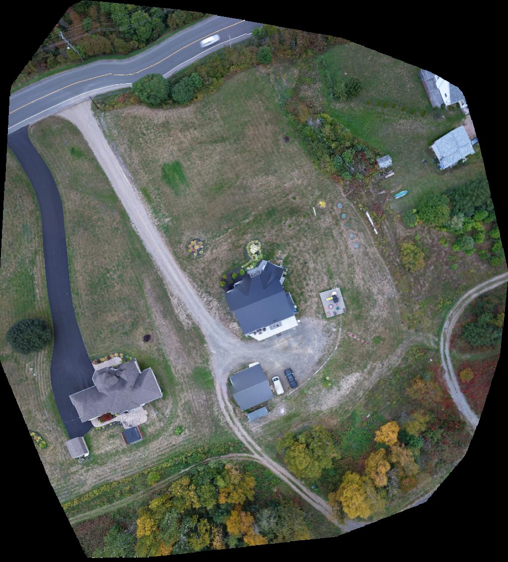 Orthophoto / Map
Campbellton Welcome Signal The Garden Path
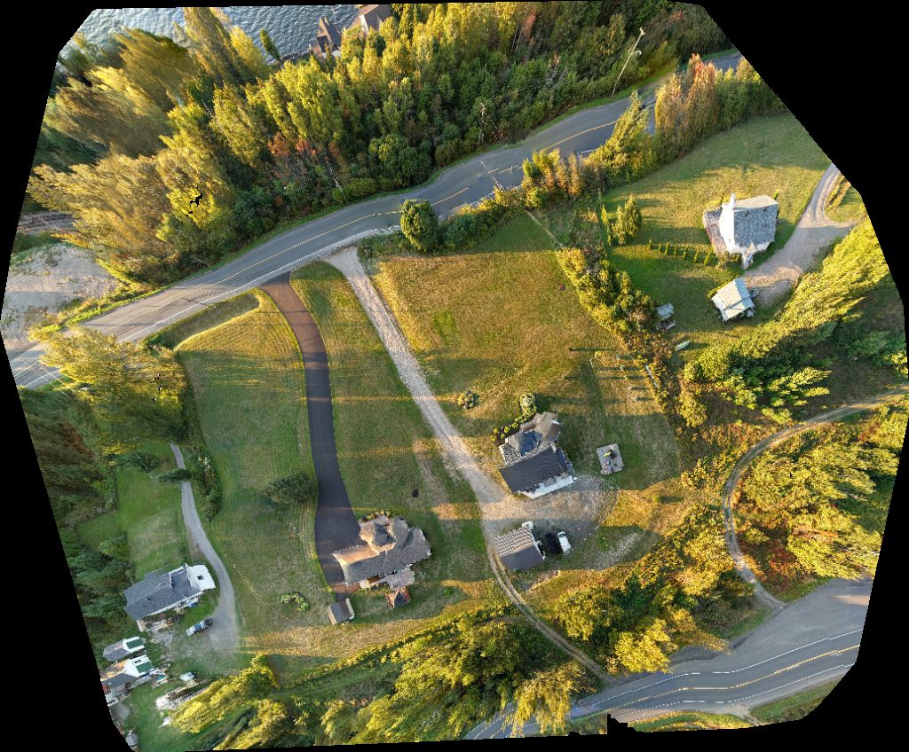 Orthophoto / Map
Campbellton Welcome Signal The Garden Path
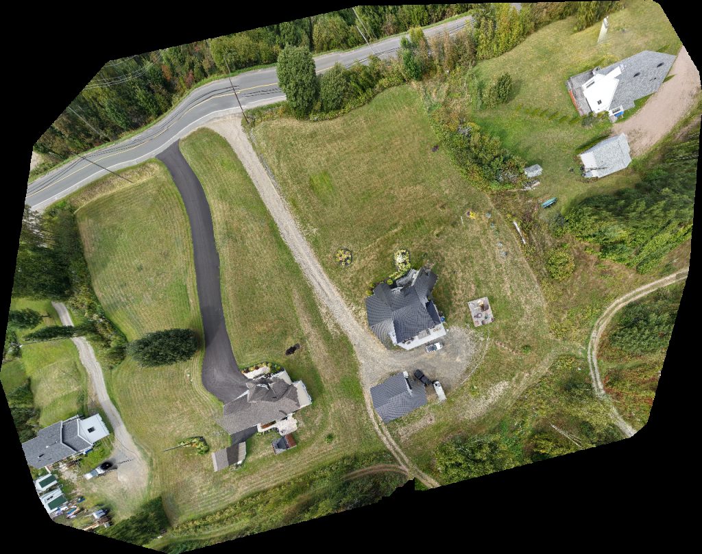 Orthophoto / Map
Campbellton Welcome Signal The Garden Path
No projects match your filters. Try clearing filters or searching a different term.