Drone maps & 3D models in British Columbia, Canada
25 sub-areas · 20 public projects on this page · page 2 of 2
About drone maps in British Columbia, Canada
Explore public orthophotos (high‑resolution maps) and 3D point clouds created by pilots in British Columbia, Canada. Use the filters to switch between Maps and 3D, and the search to find specific sites.
FAQ for British Columbia, Canada
What kinds of drone data are available?
Public orthophotos (maps) and 3D point clouds captured by local pilots.
How can I make models and maps like this?
Get started for free by making an account and uploading drone imagery.
Public projects
 Orthophoto / Map
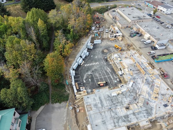
All Day Water Station Refill Ryland Gallagher Chamberlain Property Group
 Orthophoto / Map
rhododendron lake Englishman River Falls
 Point Cloud / 3D
Green Trail Loon Lake Research Education Centre
 Orthophoto / Map
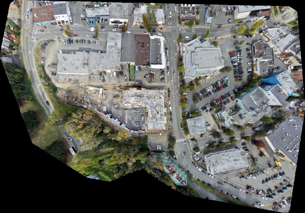
Passion Blinds KAS Sales 2023
 Orthophoto / Map
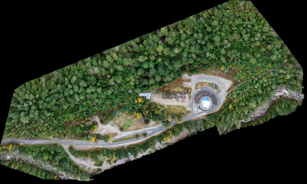
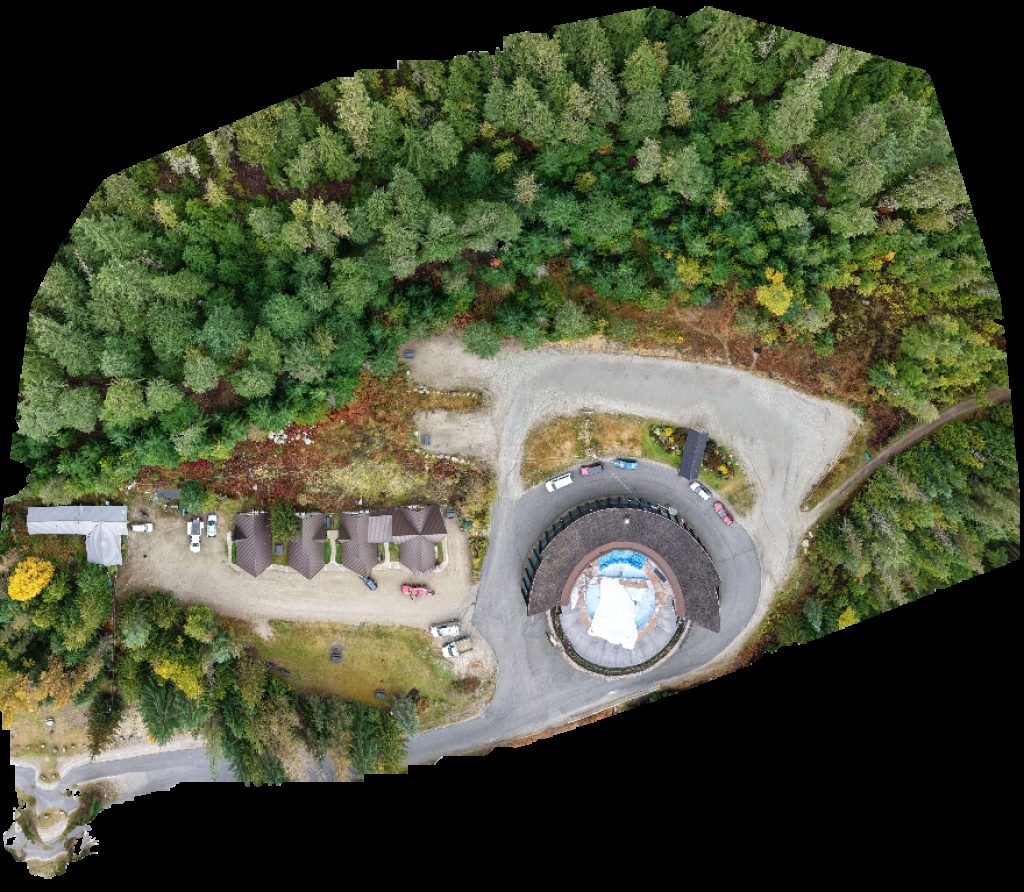
Hot Springs Campground
 Orthophoto / Map
FLO Charging Station Hot Springs
 Orthophoto / Map
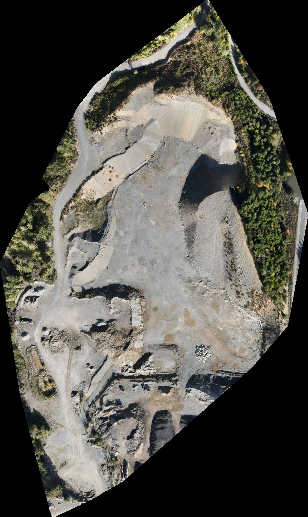
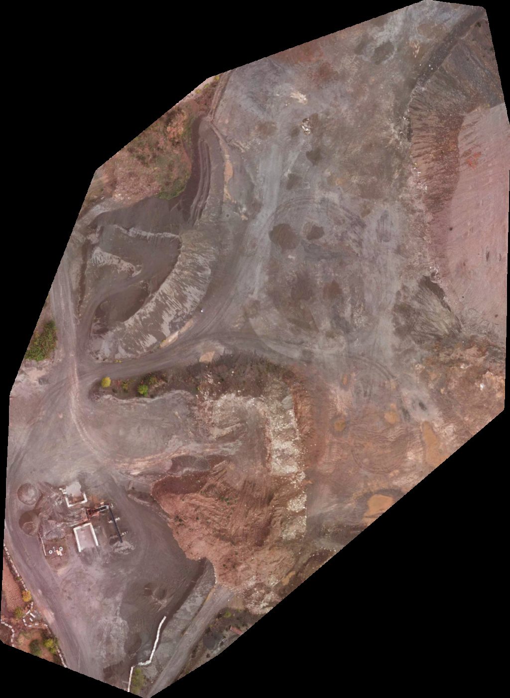
Hyland pit Tayco Paving Co
 Orthophoto / Map
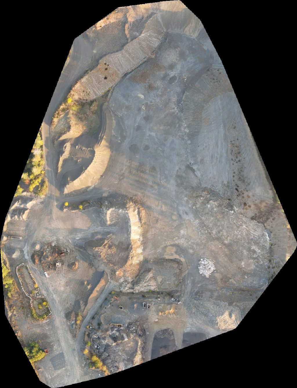
Hyland pit Tayco Paving Co
 Orthophoto / Map
Hyland pit Tayco Paving Co
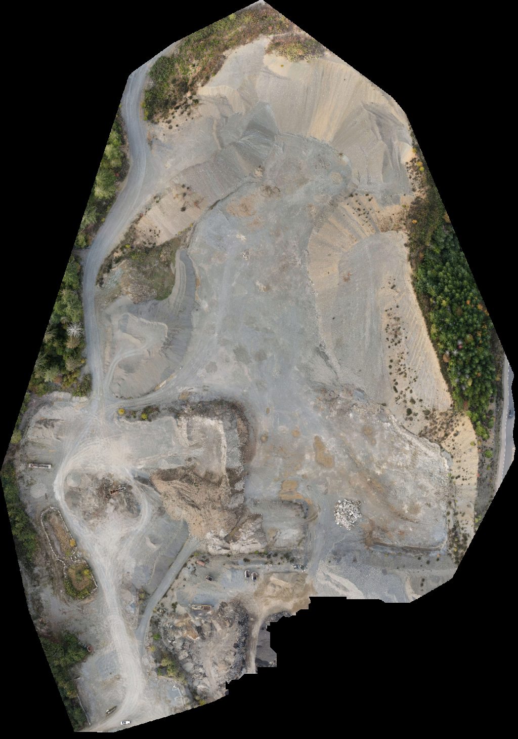 Orthophoto / Map
Hyland pit Tayco Paving Co
 Point Cloud / 3D
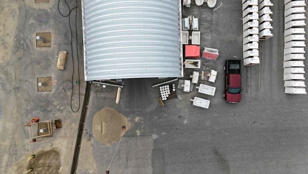
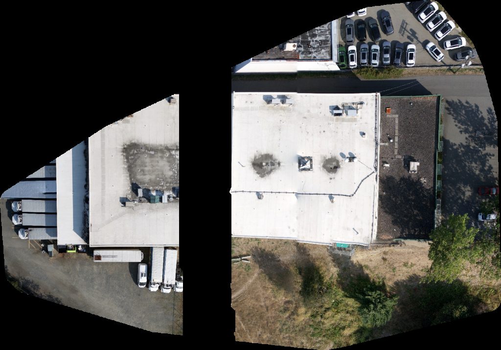
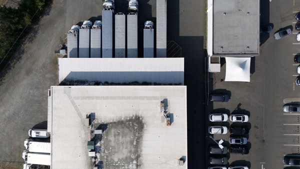
Alcaro Plastics Tristar Environmental Services 24 7 Hydrovac Septic
 Orthophoto / Map
Joseph s Light of Life Farm Celewt festival grounds
 Point Cloud / 3D
Nordic Club Flo Charging Station
 Point Cloud / 3D
Joseph s Light of Life Farm Celewt festival grounds
 Point Cloud / 3D
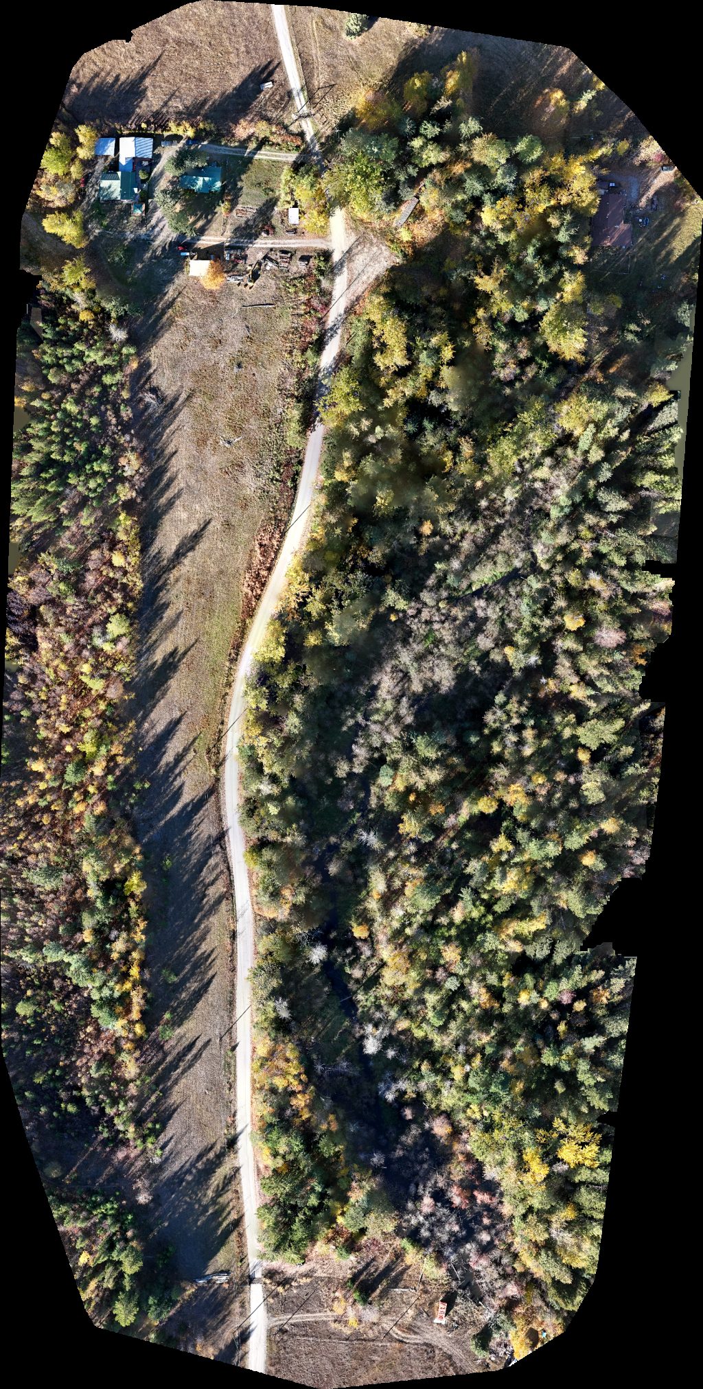
Tomahawk Tree Services Ltd Horse Wisdom Farm
 Point Cloud / 3D
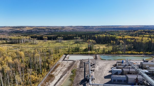
Todd Energy Gas Plant A 044 I 94 13 Tsaa Nuna Conservancy
 Point Cloud / 3D
Cedar Ridge Apartments Broadstreet Properties Ltd Sweetpeas Childcare
 Orthophoto / Map
Cedar Ridge Apartments Broadstreet Properties Ltd Sweetpeas Childcare
 Orthophoto / Map
FreshPoint Harbourview Volkswagen
 Point Cloud / 3D
FreshPoint Fawcett Mattress
No projects match your filters. Try clearing filters or searching a different term.