Drone maps & 3D models in Foothills County, Ab, CA — Heritage Pointe
4 public projects on this page
About drone maps in Foothills County, Ab, CA — Heritage Pointe
Explore public orthophotos (high‑resolution maps) and 3D point clouds created by pilots in Foothills County, Ab, CA — Heritage Pointe. Use the filters to switch between Maps and 3D, and the search to find specific sites.
FAQ for Foothills County, Ab, CA — Heritage Pointe
What kinds of drone data are available?
Public orthophotos (maps) and 3D point clouds captured by local pilots.
How can I make models and maps like this?
Get started for free by making an account and uploading drone imagery.
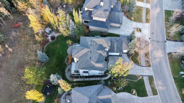
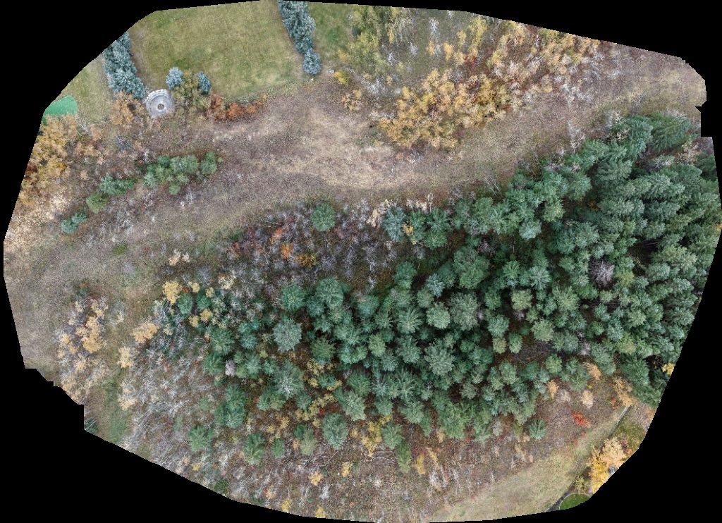
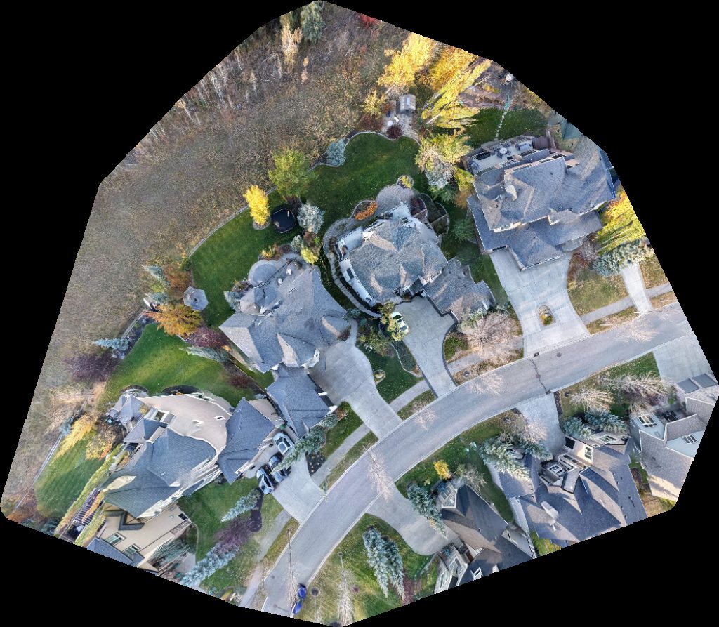
Public projects
 Orthophoto / Map
Heritage Crossing A Partners Community Furniture Maker John Morel
 Point Cloud / 3D
Numeric Navigator Park
 Orthophoto / Map
Numeric Navigator Heritage Pointe Isle Green Space
 Orthophoto / Map
Numeric Navigator Park
No projects match your filters. Try clearing filters or searching a different term.