Drone maps & 3D models in Calgary, Alberta, Canada
5 sub-areas · 7 public projects on this page
About drone maps in Calgary, Alberta, Canada
Explore public orthophotos (high‑resolution maps) and 3D point clouds created by pilots in Calgary, Alberta, Canada. Use the filters to switch between Maps and 3D, and the search to find specific sites.
FAQ for Calgary, Alberta, Canada
What kinds of drone data are available?
Public orthophotos (maps) and 3D point clouds captured by local pilots.
How can I make models and maps like this?
Get started for free by making an account and uploading drone imagery.
Public projects
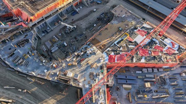
 Point Cloud / 3D
193 homestead view ne WB AV DR
 Orthophoto / Map
Summit Kids SJA St Joan of Arc School
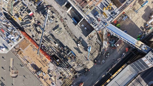
 Point Cloud / 3D
SAIT Polytechnic Parking P2 Indigo C301
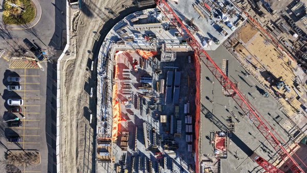
 Point Cloud / 3D
SAIT Students Association Parking Indigo C301
 Point Cloud / 3D
SAIT Students Association Parking Indigo C301
 Point Cloud / 3D
Parking Indigo C301 SAIT Polytechnic P2
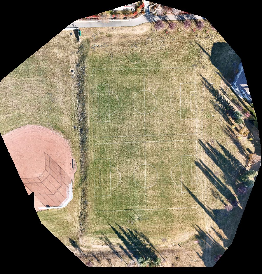 Orthophoto / Map
West Springs Diamond Park
No projects match your filters. Try clearing filters or searching a different term.