Drone maps & 3D models in Sp, Brazil
12 sub-areas · 19 public projects on this page · page 2 of 2
About drone maps in Sp, Brazil
Explore public orthophotos (high‑resolution maps) and 3D point clouds created by pilots in Sp, Brazil. Use the filters to switch between Maps and 3D, and the search to find specific sites.
FAQ for Sp, Brazil
What kinds of drone data are available?
Public orthophotos (maps) and 3D point clouds captured by local pilots.
How can I make models and maps like this?
Get started for free by making an account and uploading drone imagery.
Public projects
 Point Cloud / 3D
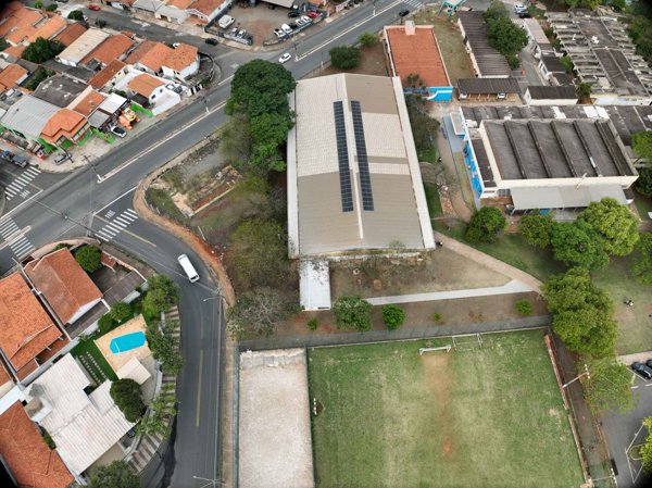
AAAETA UNICAMP PA04
 Point Cloud / 3D
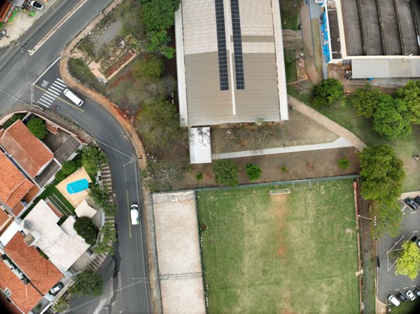
AAAETA UNICAMP PA04
 Point Cloud / 3D
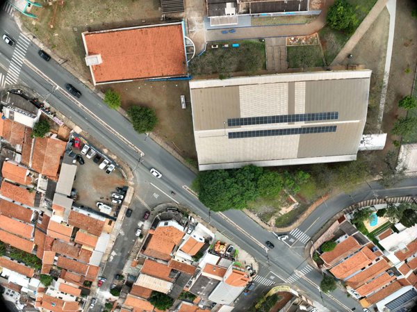
AAAETA UNICAMP PA04
 Point Cloud / 3D
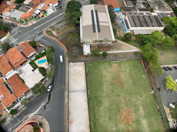
AAAETA UNICAMP PA04
 Point Cloud / 3D
AAAETA UNICAMP PA04
 Point Cloud / 3D
AAAETA UNICAMP PA04
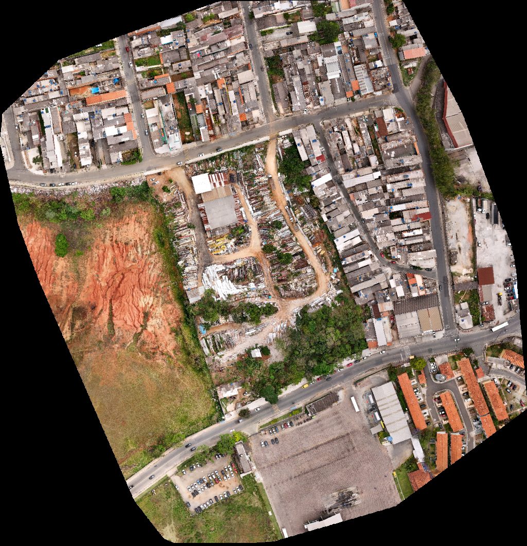 Orthophoto / Map
ONG INSTITUTO DE CIDADANIA SOL ENCANTADO LahLahBaby
 Orthophoto / Map
BDN Arquitetura Quartier Les Residence
 Point Cloud / 3D
Quartier Les Residence Indústria Comércio Twill
 Point Cloud / 3D
FRUTAS ROSEIRA VIP DETAILS MICRO PINTURA
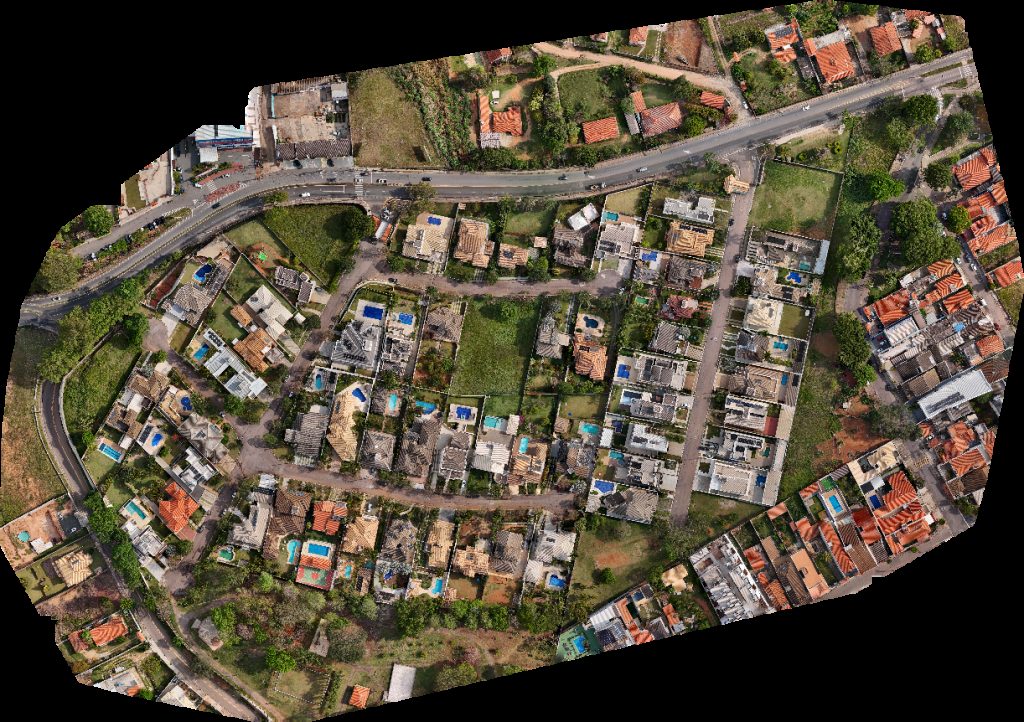
 Orthophoto / Map
FRUTAS ROSEIRA Casa do Chico
 Orthophoto / Map
CR TECH ASSISTÊNCIA TÉCNICA Casa do Chico
 Point Cloud / 3D
Mikrobiologiko Laboratório de Análises Microbiológicas SP Residencial Portal do Caxambu
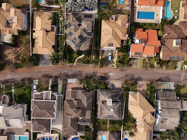
 Orthophoto / Map
Tânia Sodré Cabeleireira Praça Irineu Molinari
 Point Cloud / 3D
Mikrobiologiko Laboratório de Análises Microbiológicas SP Residencial Portal do Caxambu
 Point Cloud / 3D
Residencial Portal do Caxambu Mikrobiologiko Laboratório de Análises Microbiológicas SP
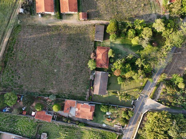
 Orthophoto / Map
Mikrobiologiko Laboratório de Análises Microbiológicas SP Residencial Portal do Caxambu
 Orthophoto / Map
Residencial Portal do Caxambu Mikrobiologiko Laboratório de Análises Microbiológicas SP
 Orthophoto / Map
Residencial Portal do Caxambu Artur Henrique Imagens Aéreas
No projects match your filters. Try clearing filters or searching a different term.