Drone maps & 3D models in Jundiai, Sp, BR — Roseira
3 public projects on this page
About drone maps in Jundiai, Sp, BR — Roseira
Explore public orthophotos (high‑resolution maps) and 3D point clouds created by pilots in Jundiai, Sp, BR — Roseira. Use the filters to switch between Maps and 3D, and the search to find specific sites.
FAQ for Jundiai, Sp, BR — Roseira
What kinds of drone data are available?
Public orthophotos (maps) and 3D point clouds captured by local pilots.
How can I make models and maps like this?
Get started for free by making an account and uploading drone imagery.
Public projects
 Point Cloud / 3D
FRUTAS ROSEIRA VIP DETAILS MICRO PINTURA
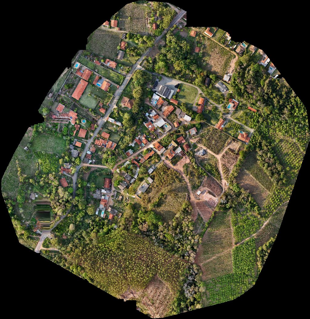 Orthophoto / Map
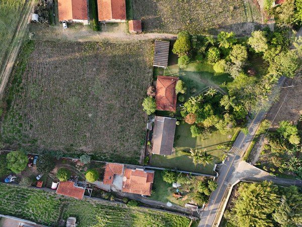
FRUTAS ROSEIRA Casa do Chico
 Orthophoto / Map
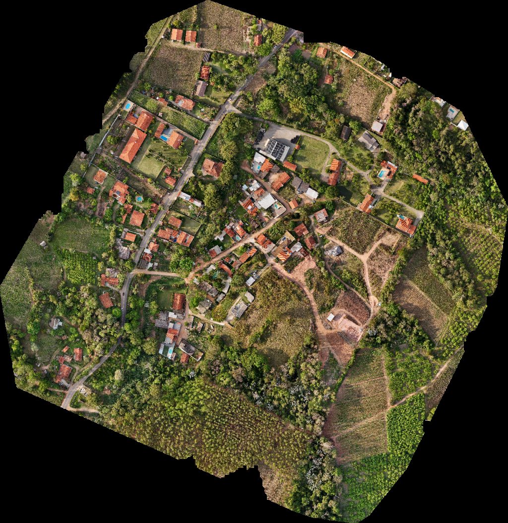
CR TECH ASSISTÊNCIA TÉCNICA Casa do Chico
No projects match your filters. Try clearing filters or searching a different term.