Drone maps & 3D models in Jundiai, Sp, BR — Jardim Caxambu
5 public projects on this page
About drone maps in Jundiai, Sp, BR — Jardim Caxambu
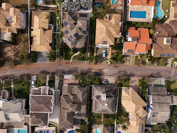
Explore public orthophotos (high‑resolution maps) and 3D point clouds created by pilots in Jundiai, Sp, BR — Jardim Caxambu. Use the filters to switch between Maps and 3D, and the search to find specific sites.
FAQ for Jundiai, Sp, BR — Jardim Caxambu
What kinds of drone data are available?
Public orthophotos (maps) and 3D point clouds captured by local pilots.
How can I make models and maps like this?
Get started for free by making an account and uploading drone imagery.
Public projects
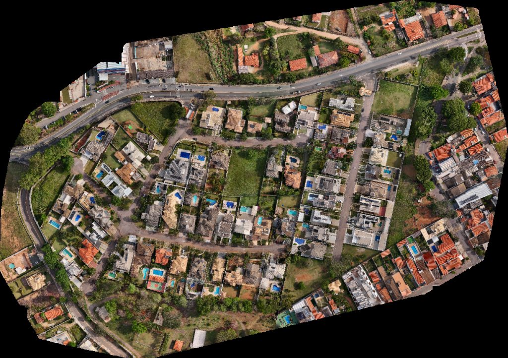 Orthophoto / Map
BDN Arquitetura Quartier Les Residence
 Point Cloud / 3D
Quartier Les Residence Indústria Comércio Twill
 Point Cloud / 3D
Residencial Portal do Caxambu Mikrobiologiko Laboratório de Análises Microbiológicas SP
 Orthophoto / Map
Residencial Portal do Caxambu Mikrobiologiko Laboratório de Análises Microbiológicas SP
 Orthophoto / Map
Residencial Portal do Caxambu Artur Henrique Imagens Aéreas
No projects match your filters. Try clearing filters or searching a different term.