Drone maps & 3D models in Bulgaria
9 sub-areas · 23 public projects on this page
About drone maps in Bulgaria
Explore public orthophotos (high‑resolution maps) and 3D point clouds created by pilots in Bulgaria. Use the filters to switch between Maps and 3D, and the search to find specific sites.
FAQ for Bulgaria
What kinds of drone data are available?
Public orthophotos (maps) and 3D point clouds captured by local pilots.
How can I make models and maps like this?
Get started for free by making an account and uploading drone imagery.
Public projects
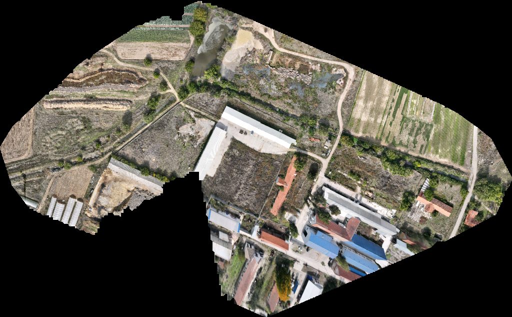
 Orthophoto / Map
Seaside Promenade Three P Detailing
 Orthophoto / Map
ТЕЦ Русе Запад Мебели Виденов
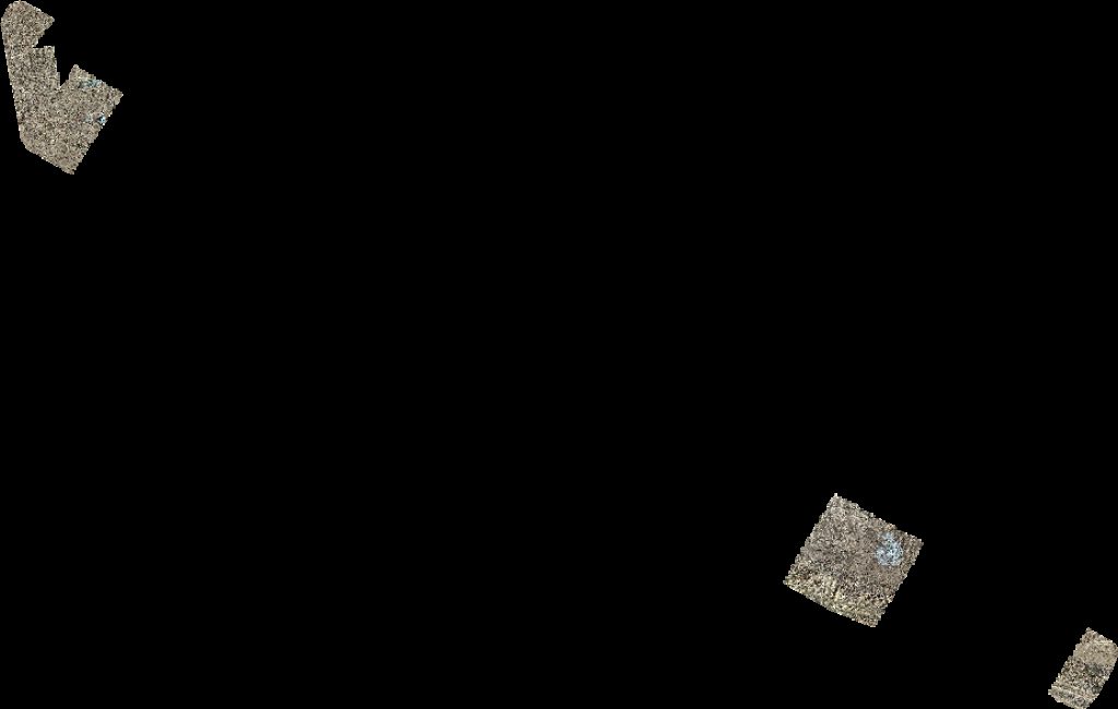
 Point Cloud / 3D
Дирекция Речен надзор Русе Морска Администрация
 Point Cloud / 3D
Дирекция Речен надзор Русе изпитна зала Exploration Maintenance of the Danube river
 Point Cloud / 3D
Морска Администрация BULRIS
 Orthophoto / Map
Креатив Дизайн Мебел BILD LTD
Icon Films B2Y Productions
 Orthophoto / Map
UNIVERSAL K XR STUDIO Nu Boyana Film Studios
 Point Cloud / 3D
Stadium Hristo Gyulemetov Bratcigovo TetrisBau Wohncontainer Bürocontainer Tiny House Modulebau Kiosk Modulecontainer
 Point Cloud / 3D
Stadium Hristo Gyulemetov Bratcigovo TetrisBau Wohncontainer Bürocontainer Tiny House Modulebau Kiosk Modulecontainer
 Point Cloud / 3D
Stadium Hristo Gyulemetov Bratcigovo TetrisBau Wohncontainer Bürocontainer Tiny House Modulebau Kiosk Modulecontainer
 Point Cloud / 3D
Temax парк Борова гора
 Orthophoto / Map
Temax парк Борова гора
 Orthophoto / Map
PV park Бракацулас ЕООД
 Point Cloud / 3D
Паркинга до магазин Фантастико Автосервиз Леки и Товарни
 Orthophoto / Map
Автосервиз Леки и Товарни SD Angelova Hairdresser
 Point Cloud / 3D
Автосервиз Леки и Товарни SD Angelova Hairdresser
 Point Cloud / 3D
Девин Ривър River T MARKET
 Orthophoto / Map
Chechosan Автомивка 24 7
 Orthophoto / Map
Девин Ривър River T MARKET
 Orthophoto / Map
Зеленчукови градини ХРИСТОЗОВИ Монпласт ЕООД
 Orthophoto / Map
Bkhkh Каменна кариера Браница
 Point Cloud / 3D
Храм Св Рождество Богородично ELIT BAR
No projects match your filters. Try clearing filters or searching a different term.