Drone maps & 3D models in Western Australia, Australia
14 sub-areas · 22 public projects on this page
About drone maps in Western Australia, Australia
Explore public orthophotos (high‑resolution maps) and 3D point clouds created by pilots in Western Australia, Australia. Use the filters to switch between Maps and 3D, and the search to find specific sites.
FAQ for Western Australia, Australia
What kinds of drone data are available?
Public orthophotos (maps) and 3D point clouds captured by local pilots.
How can I make models and maps like this?
Get started for free by making an account and uploading drone imagery.
Public projects
 Point Cloud / 3D
Wreck Point Leeman s Boat Landing
 Point Cloud / 3D
Ethiopian Orthodox Tewahedo Church Deabreamin
 Orthophoto / Map
Marmion Av After Revolution Impressions Dr
 Orthophoto / Map
FMG BonnieDoon Blacksmith Accommodation Village
 Orthophoto / Map
FMG BonnieDoon Blacksmith Accommodation Village
 Orthophoto / Map
Summer Wattle Drive WA The Eurphoric Ewe
 Orthophoto / Map
FMG BonnieDoon Blacksmith Accommodation Village
 Orthophoto / Map
Rockingham Toastmasters South Coast Baptist College
 Orthophoto / Map
South Coast Baptist College Rockingham Toastmasters
 Orthophoto / Map
Oakwood Cr South Coast Baptist College Rockingham Toastmasters
 Orthophoto / Map
Rockingham Toastmasters South Coast Baptist College
 Point Cloud / 3D
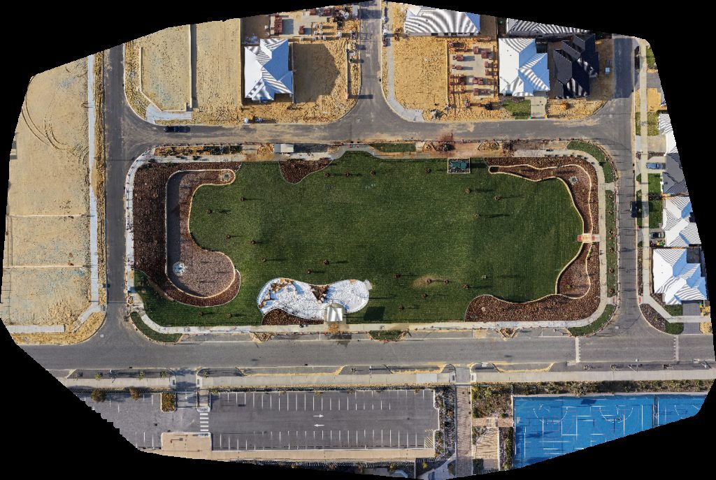
Amery Park Wyatt Rd Before Elliot
 Orthophoto / Map
Rockingham Toastmasters South Coast Baptist College
 Point Cloud / 3D
Brindy s Coffee Bar Kalgoorlie Boulder parkrun
 Point Cloud / 3D
Park Apache Floats
 Orthophoto / Map
ARCH Engineering Raine Horne Rural WA
 Orthophoto / Map
ARCH Engineering Raine Horne Rural WA
 Orthophoto / Map
Viva Bvd Ridgeway Senior High School Stand 4 Ridge View Secondary College 3
 Point Cloud / 3D
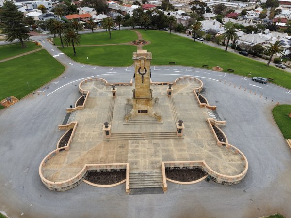
War Memorial Monument Hill Reserve
 Orthophoto / Map
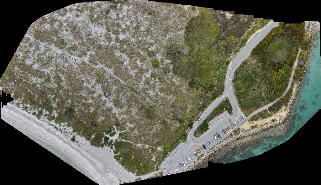
Woodman Point Windsurfing Beach
 Point Cloud / 3D
Stewart St Parking Villa Sea Esta
 Point Cloud / 3D
Stewart St Parking Villa Sea Esta
No projects match your filters. Try clearing filters or searching a different term.