Drone maps & 3D models in Victoria, Australia
34 sub-areas · 24 public projects on this page · page 2 of 2
About drone maps in Victoria, Australia
Explore public orthophotos (high‑resolution maps) and 3D point clouds created by pilots in Victoria, Australia. Use the filters to switch between Maps and 3D, and the search to find specific sites.
FAQ for Victoria, Australia
What kinds of drone data are available?
Public orthophotos (maps) and 3D point clouds captured by local pilots.
How can I make models and maps like this?
Get started for free by making an account and uploading drone imagery.
Public projects
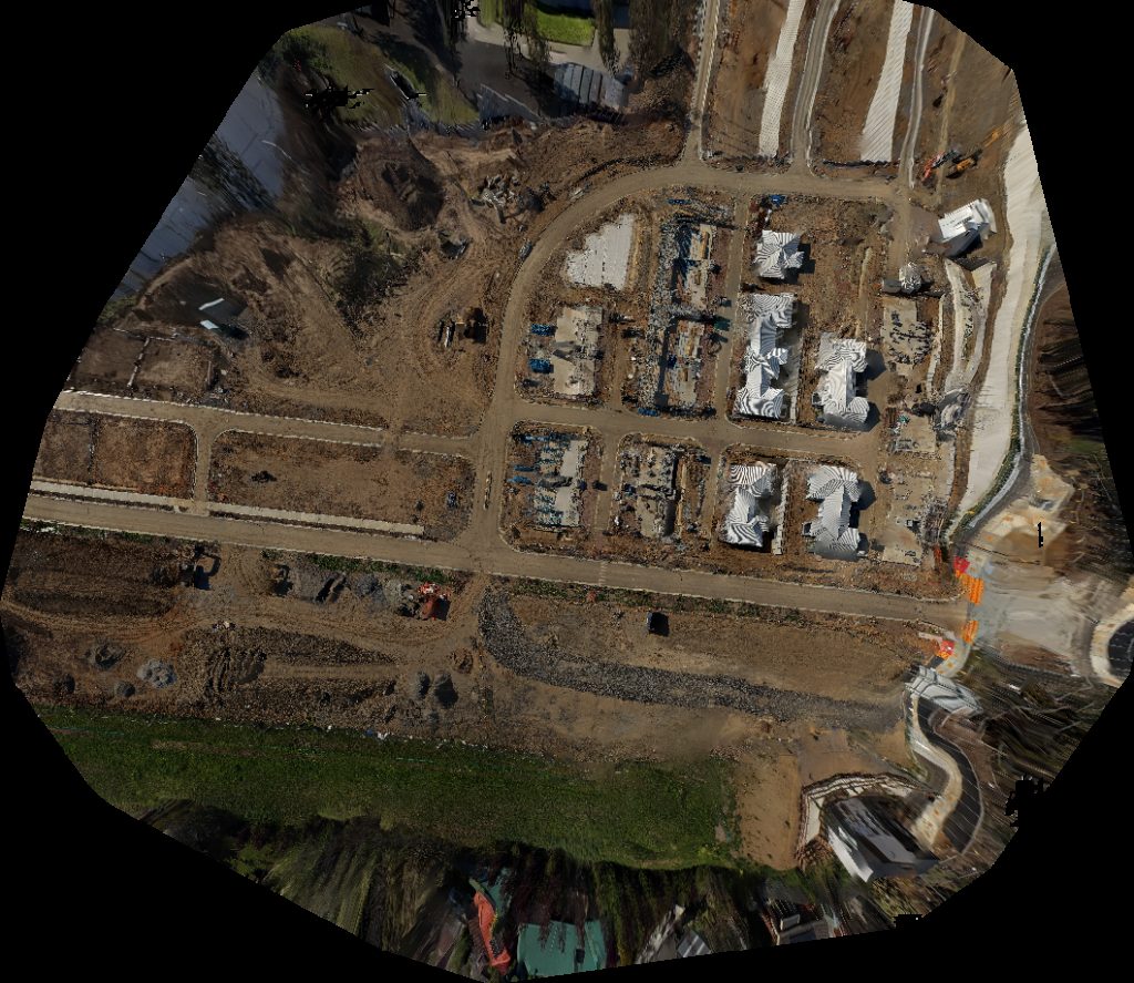
 Point Cloud / 3D
Lomi Klaudia Bactopia
 Point Cloud / 3D
Offshore 3DR Coventry Cottage
 Point Cloud / 3D
Berthon Park McQueen Drive
 Point Cloud / 3D
Don Jackson Play Ground Reserve Fenced Dog Park
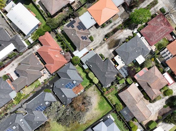
 Orthophoto / Map
Don Jackson Play Ground Reserve Fenced Dog Park
 Point Cloud / 3D
David Carson Electronics Pty Ltd Ditto Daddys
 Point Cloud / 3D
Mother Driving School Aarons Cleaning Repairs
 Point Cloud / 3D
Valleyview Dr Karoo Rd Drive
 Point Cloud / 3D
Peekaboo Photography NeelSky IT Solution
 Point Cloud / 3D
Primary School Fire Station
 Point Cloud / 3D
pingwozza Topwood Timber floor layers
 Orthophoto / Map
Downer Edi Works PTY Ltd Global Kitchens Australia
 Point Cloud / 3D
Heartwell Foundation Fitness
 Orthophoto / Map
Downer Edi Works PTY Ltd Global Kitchens Australia
 Point Cloud / 3D
Glenola Rd Fowler St
 Orthophoto / Map
College Find Hope Counselling
 Point Cloud / 3D
Heartwell Foundation Fitness
 Point Cloud / 3D
Seven Wishes Yoga Former Wollert Uniting Church 1878
 Point Cloud / 3D
Rifle Range Precision Club
 Point Cloud / 3D
5 Fat Bees Acre Ridge
 Point Cloud / 3D
5 Fat Bees Acre Ridge
 Point Cloud / 3D
Raphael Guitars Natures Cure Pty Ltd
 Orthophoto / Map
Raphael Guitars Natures Cure Pty Ltd
 Orthophoto / Map
Connabar Estate Soldier Settlement Monument Recreation Reserve
No projects match your filters. Try clearing filters or searching a different term.