Drone maps & 3D models in Queensland, Australia
27 sub-areas · 20 public projects on this page · page 2 of 2
About drone maps in Queensland, Australia
Explore public orthophotos (high‑resolution maps) and 3D point clouds created by pilots in Queensland, Australia. Use the filters to switch between Maps and 3D, and the search to find specific sites.
FAQ for Queensland, Australia
What kinds of drone data are available?
Public orthophotos (maps) and 3D point clouds captured by local pilots.
How can I make models and maps like this?
Get started for free by making an account and uploading drone imagery.
Public projects
 Point Cloud / 3D
St Andrews Rabbit tree
 Point Cloud / 3D
St Andrews Rabbit tree
 Point Cloud / 3D
Kinections 17 Cassius Way Gold Coast
 Point Cloud / 3D
St Andrews Rabbit tree
 Point Cloud / 3D
St Andrews Rabbit tree
 Orthophoto / Map
Houwen Tiling DIRECT INSULATION SUPPLIES D and Sheet Metal
 Point Cloud / 3D
Wharf St near Bridge stop 52
 Point Cloud / 3D
Karma Waters Station Manish Kumar
 Orthophoto / Map
Village National Pritchard Road Country Resort AAA Digital Antennas Tv Antenna Vast Installation
 Orthophoto / Map
Village National Pritchard Road Country Resort AAA Digital Antennas Tv Antenna Vast Installation
 Point Cloud / 3D
Best Massage Treatment Excell Services Pty Ltd
 Point Cloud / 3D
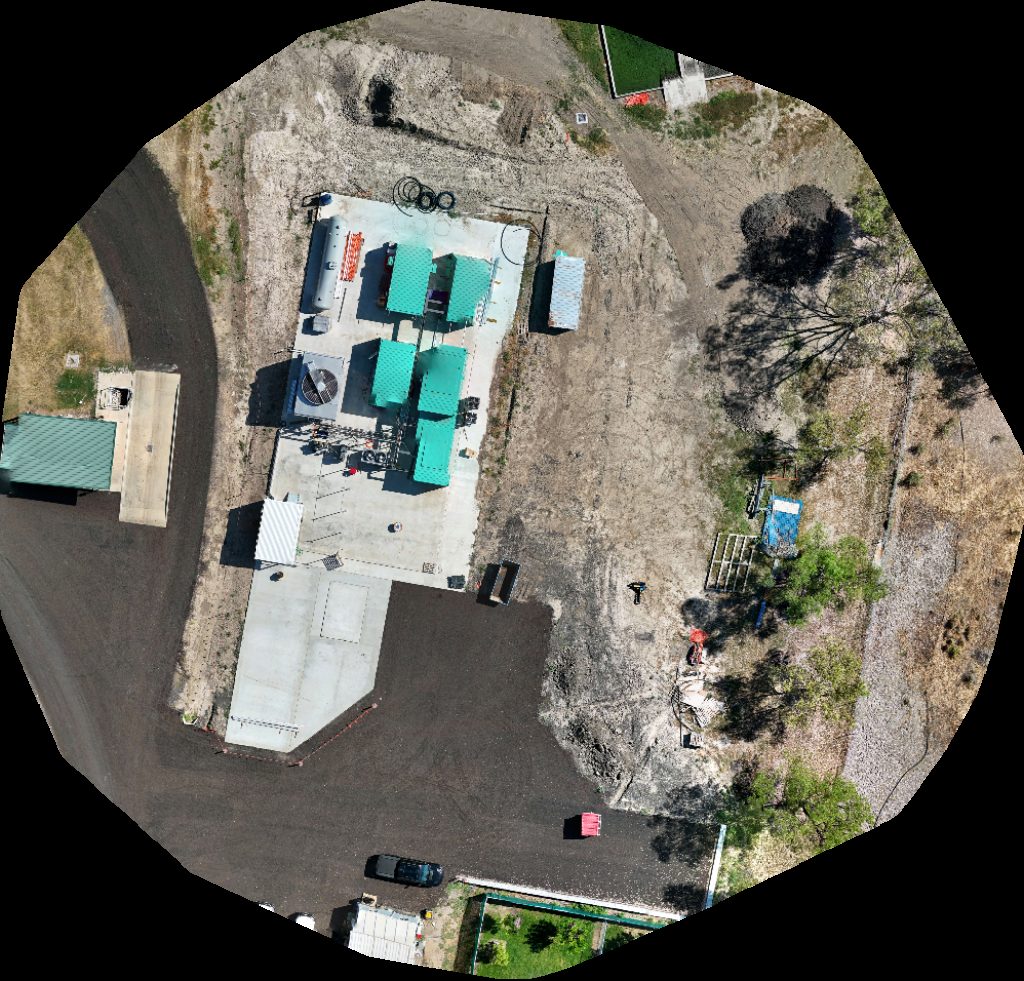
Cooperativa2 Spring Gully Gas Plant
 Orthophoto / Map
council Pound Frasers Livestock Transport
 Orthophoto / Map
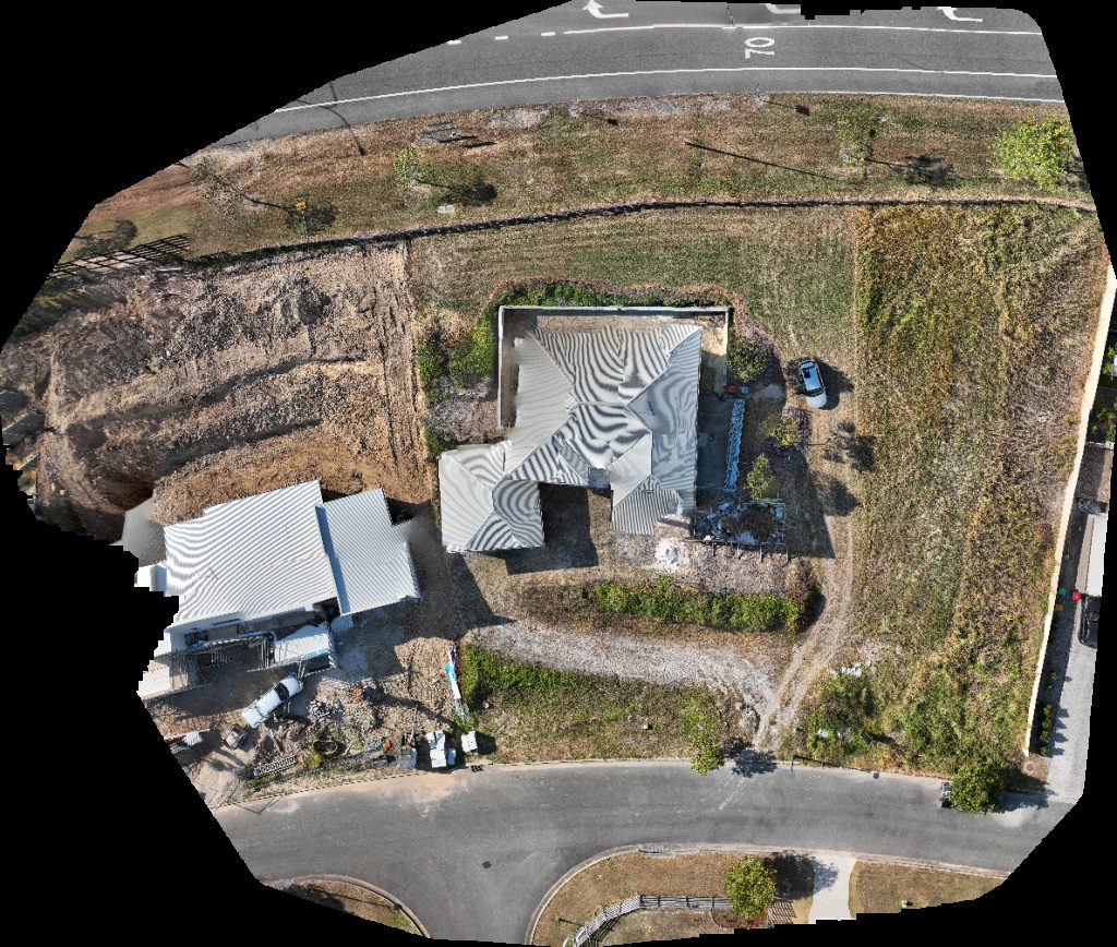
Surface plumbing and drainage pty ltd SEE Civil Eggersdorf Rd Site
 Point Cloud / 3D
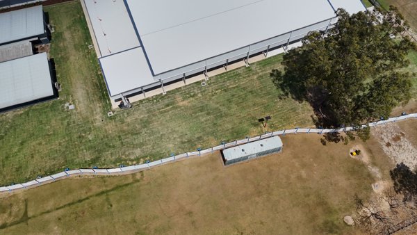
Athletic Field
 Orthophoto / Map
Cemetery Mulei
 Point Cloud / 3D
Cemetery Mulei
 Point Cloud / 3D
WDS Saddlery Studio B R A H M
 Point Cloud / 3D
Karma Waters Station Manish Kumar
 Point Cloud / 3D
St Andrews Rabbit tree
No projects match your filters. Try clearing filters or searching a different term.