Drone maps & 3D models in Maroubra, Nsw, AU
2 sub-areas · 17 public projects on this page
About drone maps in Maroubra, Nsw, AU
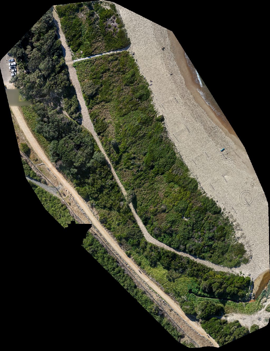
Explore public orthophotos (high‑resolution maps) and 3D point clouds created by pilots in Maroubra, Nsw, AU. Use the filters to switch between Maps and 3D, and the search to find specific sites.
FAQ for Maroubra, Nsw, AU
What kinds of drone data are available?
Public orthophotos (maps) and 3D point clouds captured by local pilots.
How can I make models and maps like this?
Get started for free by making an account and uploading drone imagery.
Browse areas
- Jack Vanny Reserve (9)
- South Maroubra (8)
Public projects
 Point Cloud / 3D
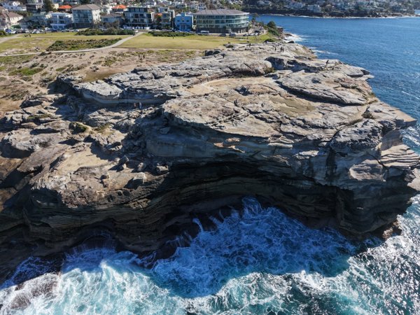
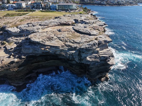
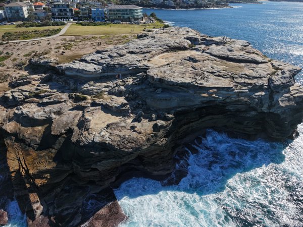
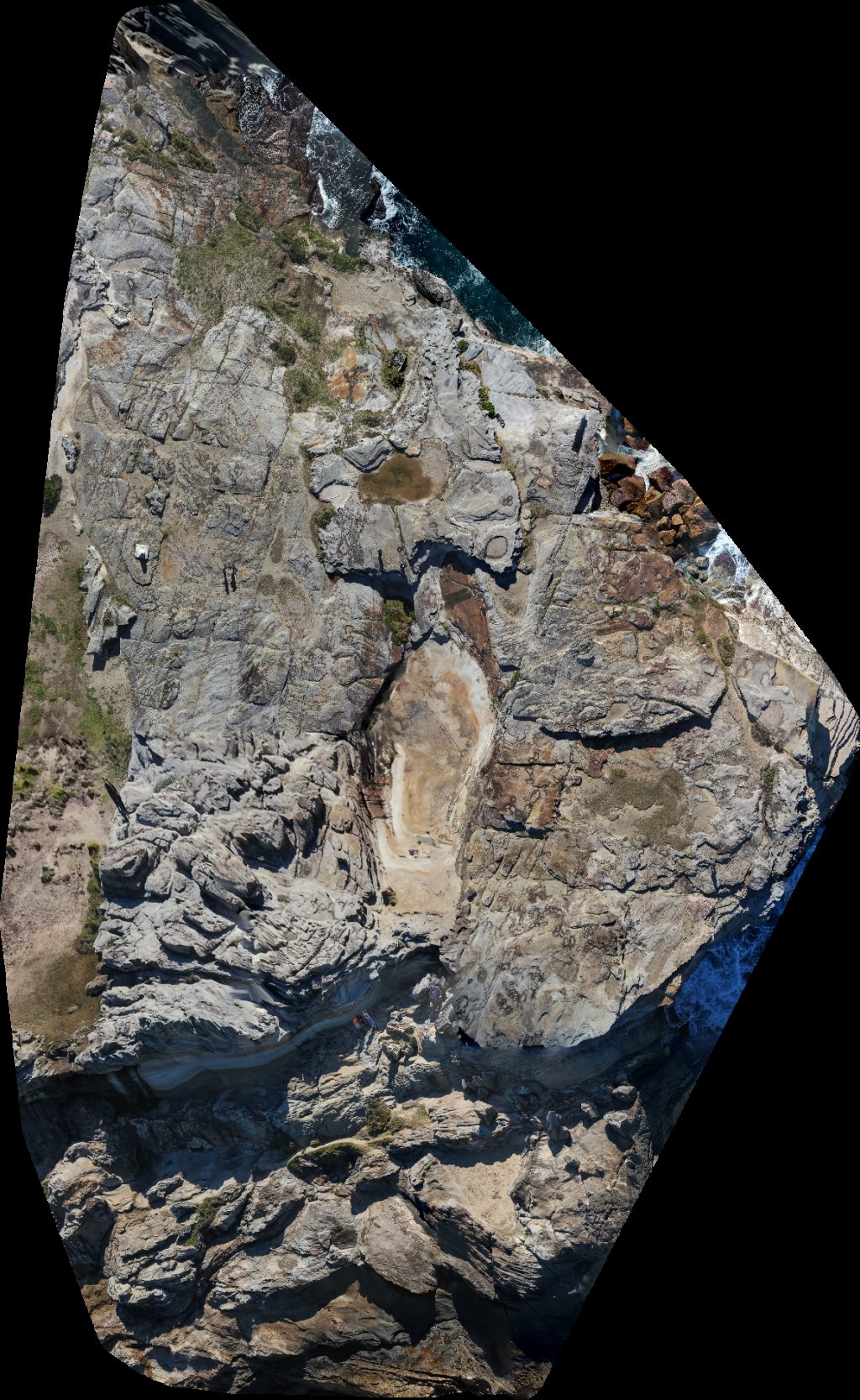
Caves Marine Parade Lookout
 Orthophoto / Map
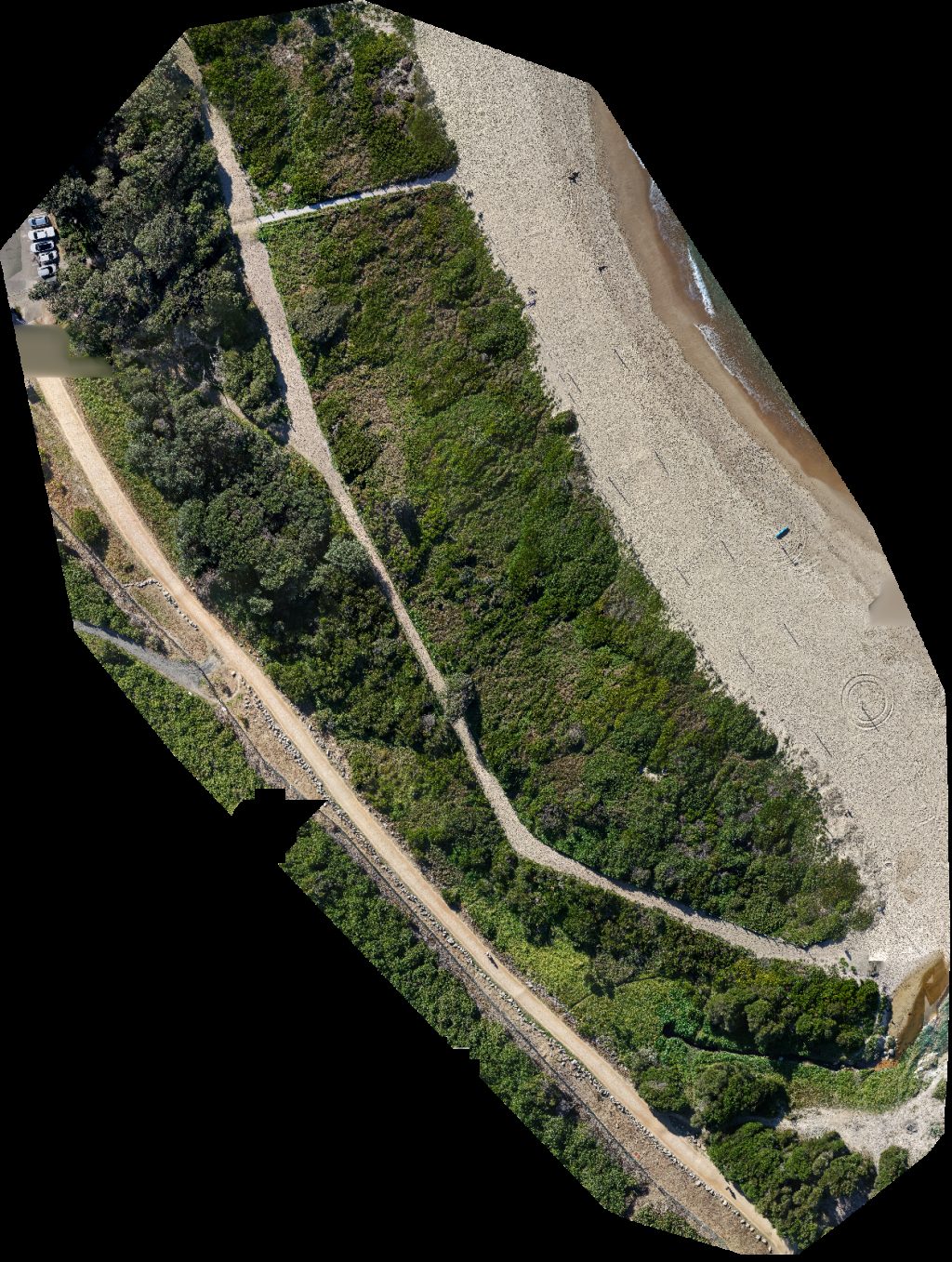
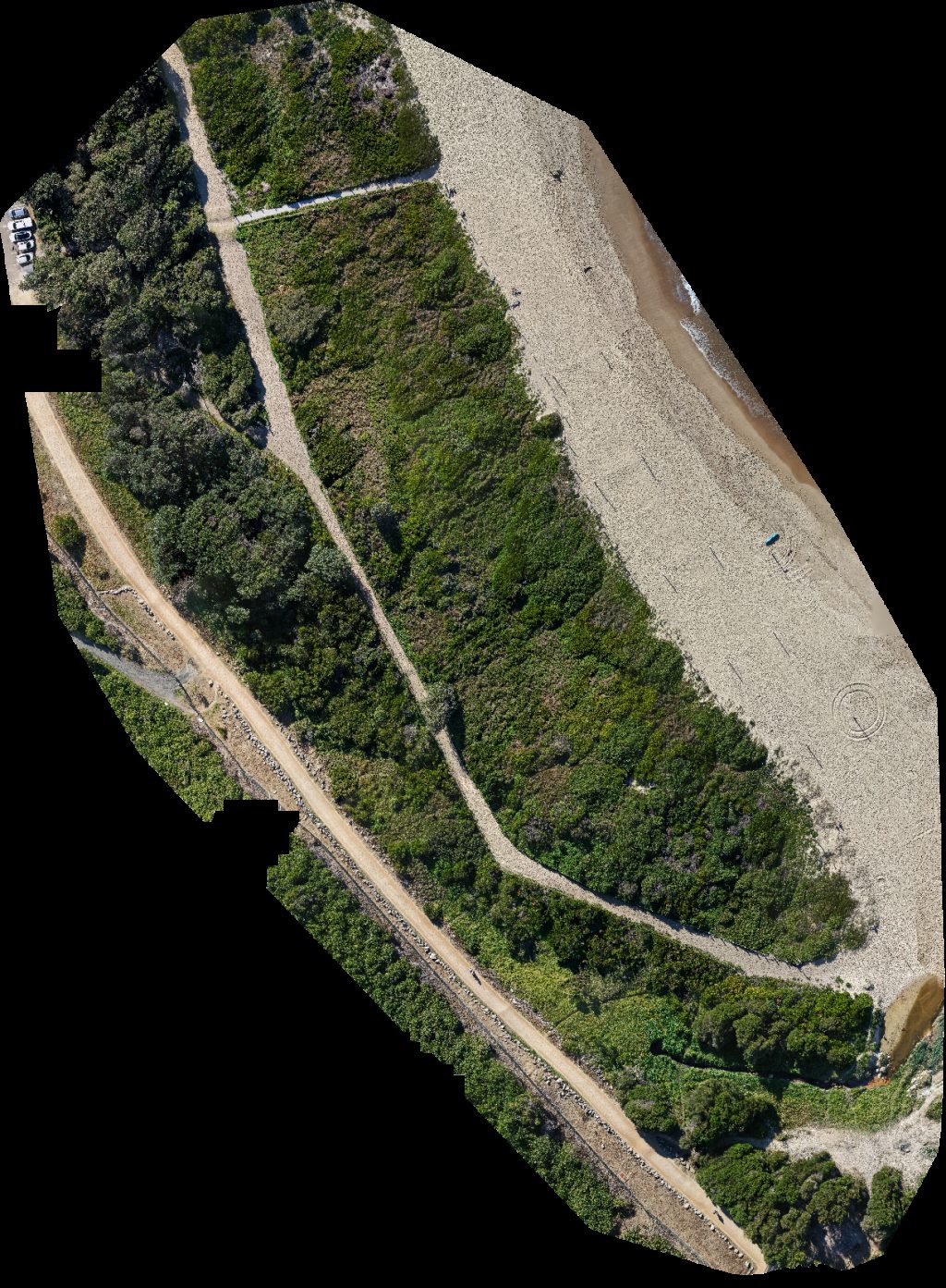
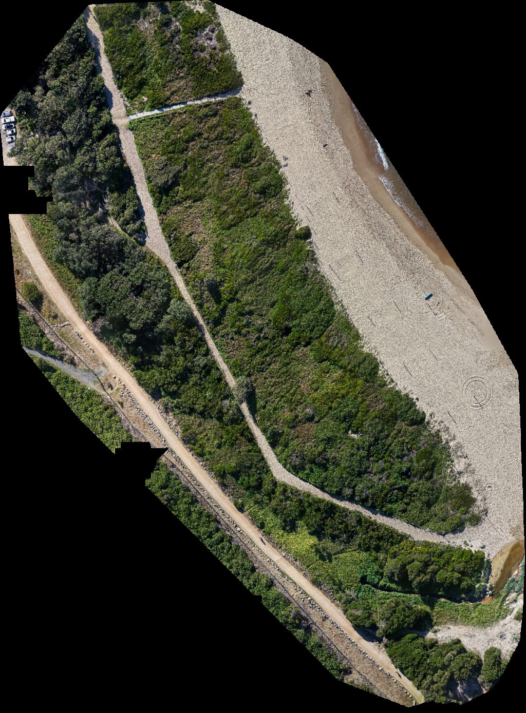
Beachvolleyball com au South Surf Life Saving Club
 Point Cloud / 3D
Caves Marine Parade Lookout
 Point Cloud / 3D
Caves Marine Parade Lookout
 Orthophoto / Map
Beachvolleyball com au South Surf Life Saving Club
 Orthophoto / Map
Beachvolleyball com au South Surf Life Saving Club
 Point Cloud / 3D
Caves Marine Parade Lookout
 Orthophoto / Map
Caves Marine Parade Lookout
 Orthophoto / Map
South Surf Life Saving Club Beachvolleyball com au
 Point Cloud / 3D
Caves Marine Parade Lookout
 Orthophoto / Map
South Surf Life Saving Club Beachvolleyball com au
 Point Cloud / 3D
Caves Marine Parade Lookout
 Orthophoto / Map
Beachvolleyball com au South Surf Life Saving Club
 Point Cloud / 3D
Caves Marine Parade Lookout
 Orthophoto / Map
Beachvolleyball com au South Surf Life Saving Club
 Orthophoto / Map
Beachvolleyball com au South Surf Life Saving Club
 Orthophoto / Map
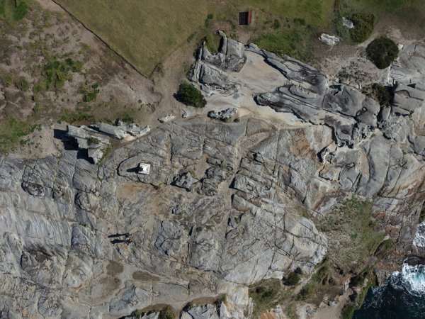
Jack Vanny Reserve Public Toilet Mahon Pool
No projects match your filters. Try clearing filters or searching a different term.